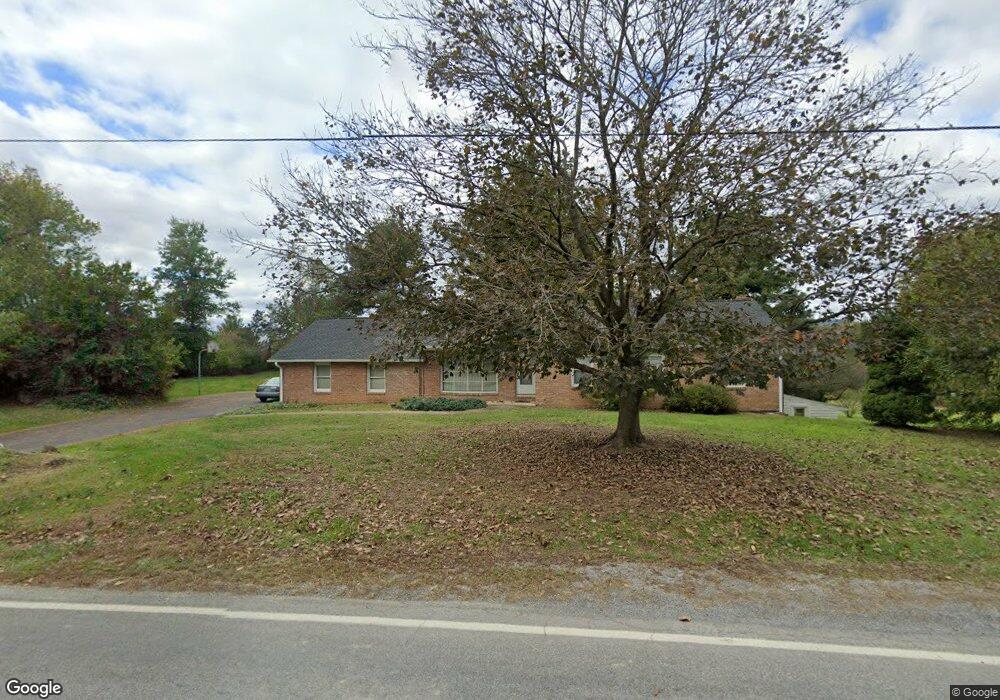
12104 Saint Paul Rd Clear Spring, MD 21722
Estimated Value: $301,073 - $418,000
Studio
2
Baths
1,487
Sq Ft
$246/Sq Ft
Est. Value
About This Home
This home is located at 12104 Saint Paul Rd, Clear Spring, MD 21722 and is currently estimated at $365,768, approximately $245 per square foot. 12104 Saint Paul Rd is a home located in Washington County with nearby schools including Clear Spring Elementary School, Clear Spring Middle School, and Clear Spring High School.
Ownership History
Date
Name
Owned For
Owner Type
Purchase Details
Closed on
Dec 6, 2025
Sold by
Paden Vernon W and Hose Jean
Bought by
Paden Vernon W
Current Estimated Value
Purchase Details
Closed on
Aug 21, 1997
Sold by
Paden Vernon W
Bought by
Paden Vernon W and Jean Hose
Purchase Details
Closed on
May 15, 1981
Sold by
Buehn Francis H
Bought by
Paden Vernon W
Home Financials for this Owner
Home Financials are based on the most recent Mortgage that was taken out on this home.
Original Mortgage
$60,000
Interest Rate
16.64%
Create a Home Valuation Report for This Property
The Home Valuation Report is an in-depth analysis detailing your home's value as well as a comparison with similar homes in the area
Purchase History
| Date | Buyer | Sale Price | Title Company |
|---|---|---|---|
| Paden Vernon W | -- | None Listed On Document | |
| Paden Vernon W | -- | -- | |
| Paden Vernon W | $80,000 | -- |
Source: Public Records
Mortgage History
| Date | Status | Borrower | Loan Amount |
|---|---|---|---|
| Previous Owner | Paden Vernon W | $60,000 |
Source: Public Records
Tax History
| Year | Tax Paid | Tax Assessment Tax Assessment Total Assessment is a certain percentage of the fair market value that is determined by local assessors to be the total taxable value of land and additions on the property. | Land | Improvement |
|---|---|---|---|---|
| 2025 | $2,479 | $292,200 | $0 | $0 |
| 2024 | $2,479 | $256,800 | $0 | $0 |
| 2023 | $2,352 | $221,400 | $74,000 | $147,400 |
| 2022 | $2,264 | $212,867 | $0 | $0 |
| 2021 | $2,126 | $204,333 | $0 | $0 |
| 2020 | $2,126 | $195,800 | $74,000 | $121,800 |
| 2019 | $2,135 | $195,800 | $74,000 | $121,800 |
| 2018 | $2,135 | $195,800 | $74,000 | $121,800 |
| 2017 | $2,160 | $198,100 | $0 | $0 |
| 2016 | -- | $197,233 | $0 | $0 |
| 2015 | -- | $196,367 | $0 | $0 |
| 2014 | $2,227 | $195,500 | $0 | $0 |
Source: Public Records
Map
Nearby Homes
- 11717 Ashton Rd
- 13100 Saint Paul Rd
- 0 Mulberry St
- 17 N Martin St
- 12401 Cedar Ridge Rd
- 14906 Clear Spring Rd
- 14910 Clear Spring Rd
- 14924 Clear Spring Rd
- 13039 Spickler Rd
- 15029 Clear Spring Rd
- 15030 Clear Spring Rd
- 15149 Bloyers Ave
- Lot 9 Boo Blvd Unit BLOCK 1
- Block 1 Lot 6 Boo Blvd
- Block 1 Lot 27 Boo Blvd
- Block 1 Lot 35 Boo Blvd
- Block 7 Lot 30 & 31 Campfire Blvd
- Block 8 Lot 16 & 17 Campfire Blvd
- Block 1 Lot 36 Boo Blvd
- Block 1 Lot 42 Boo Blvd
- 12108 Saint Paul Rd
- 12100 Saint Paul Rd
- 13802 Miles Farm Ln
- 12040 Saint Paul Rd
- 13803 Miles Farm Ln
- 13723 Seibert Ln
- 12034 Saint Paul Rd
- 12201 Saint Paul Rd
- 12205 Saint Paul Rd
- 12021 Saint Paul Rd
- 12024 Saint Paul Rd
- 13731 Seibert Ln
- 12013 Saint Paul Rd
- 12219 Saint Paul Rd
- 12219 St Paul Rd
- 0 St Paul Rd Unit WA7811817
- 13432 Philadelphia Ln
- 12012 Saint Paul Rd
- 12005 Saint Paul Rd
- 12225 Saint Paul Rd
Your Personal Tour Guide
Ask me questions while you tour the home.