12104 State Route 690 Athens, OH 45701
Estimated Value: $291,000 - $491,000
4
Beds
3
Baths
2,772
Sq Ft
$143/Sq Ft
Est. Value
About This Home
This home is located at 12104 State Route 690, Athens, OH 45701 and is currently estimated at $397,720, approximately $143 per square foot. 12104 State Route 690 is a home located in Athens County with nearby schools including Amesville Elementary School, Coolville Elementary School, and Federal Hocking Middle School.
Ownership History
Date
Name
Owned For
Owner Type
Purchase Details
Closed on
Mar 8, 2001
Sold by
Vanpelt Susan P
Bought by
Hinton Jay A & Jennifer L
Current Estimated Value
Purchase Details
Closed on
Jul 14, 1997
Sold by
Nutter Delores A
Bought by
Vanpelt Susan P
Purchase Details
Closed on
Feb 10, 1994
Bought by
Nutter Delores A
Create a Home Valuation Report for This Property
The Home Valuation Report is an in-depth analysis detailing your home's value as well as a comparison with similar homes in the area
Home Values in the Area
Average Home Value in this Area
Purchase History
| Date | Buyer | Sale Price | Title Company |
|---|---|---|---|
| Hinton Jay A & Jennifer L | $115,000 | -- | |
| Vanpelt Susan P | $95,000 | -- | |
| Nutter Delores A | $15,000 | -- |
Source: Public Records
Tax History Compared to Growth
Tax History
| Year | Tax Paid | Tax Assessment Tax Assessment Total Assessment is a certain percentage of the fair market value that is determined by local assessors to be the total taxable value of land and additions on the property. | Land | Improvement |
|---|---|---|---|---|
| 2024 | $4,793 | $99,160 | $11,760 | $87,400 |
| 2023 | $4,718 | $99,160 | $11,760 | $87,400 |
| 2022 | $3,945 | $79,150 | $9,800 | $69,350 |
| 2021 | $3,958 | $79,150 | $9,800 | $69,350 |
| 2020 | $3,693 | $79,150 | $9,800 | $69,350 |
| 2019 | $3,425 | $68,330 | $8,600 | $59,730 |
| 2018 | $3,405 | $68,330 | $8,600 | $59,730 |
| 2017 | $4,588 | $68,330 | $8,600 | $59,730 |
| 2016 | $3,322 | $64,860 | $7,820 | $57,040 |
| 2015 | $4,413 | $64,860 | $7,820 | $57,040 |
| 2014 | $4,413 | $64,860 | $7,820 | $57,040 |
| 2013 | $2,681 | $41,350 | $6,280 | $35,070 |
Source: Public Records
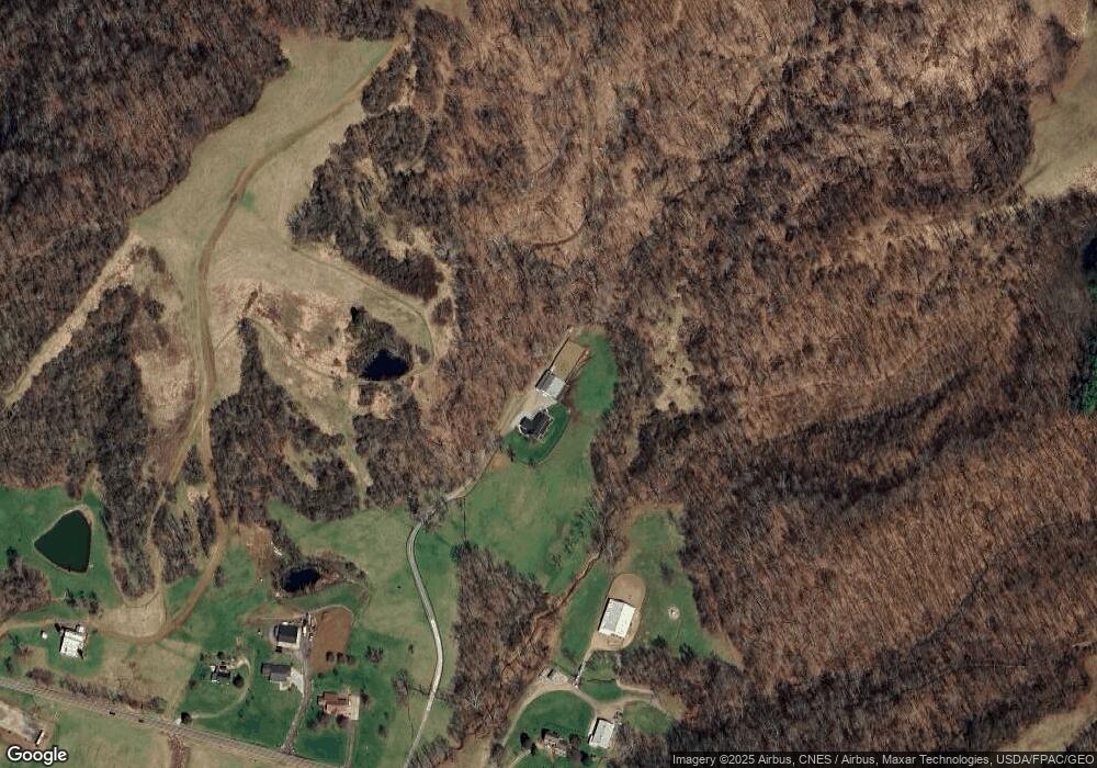
Map
Nearby Homes
- 0 Ohio 329
- 0 Ohio 550
- TBD Ohio 329
- 43 Main St
- 17777 Mush Run Rd
- 14375 Hooper Ridge Rd
- 13647 Ohio 550
- 0 E Copeland Rd Unit 2434030
- 14240 Della Dr
- State Route 550
- 15750 Bryson Rd
- 16222 Hooper Ridge Rd
- 11845 N Peach Ridge
- 11711 Peach Ridge Rd
- 11933 State Route 550
- 11933 Ohio 550
- 15901 Lathrop Rd
- 51 Eden Place
- 39 Eden Place
- 15 Townsend Place