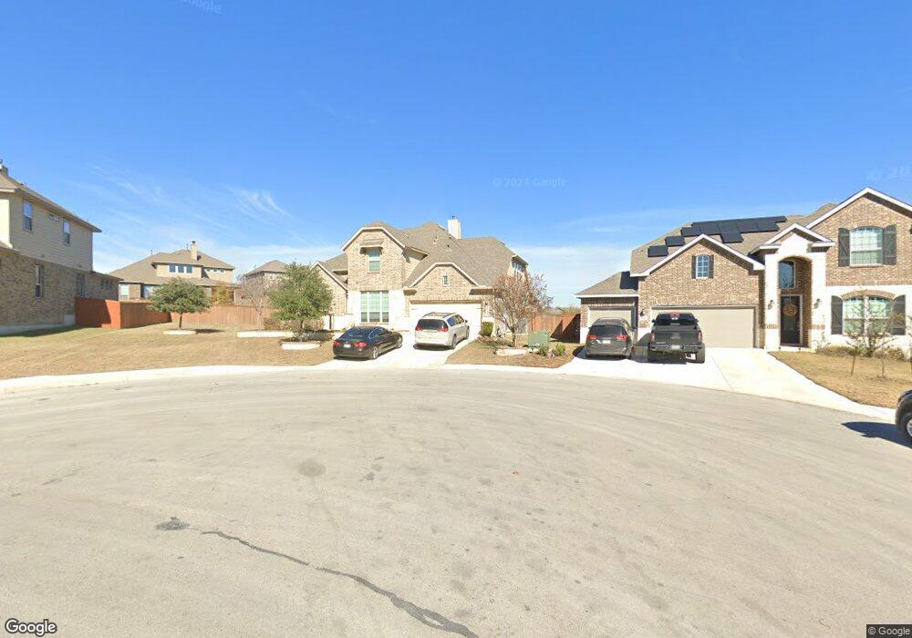
12105 Merritt Villa San Antonio, TX 78253
Westpointe East NeighborhoodEstimated Value: $624,000 - $701,451
4
Beds
4
Baths
3,462
Sq Ft
$192/Sq Ft
Est. Value
About This Home
This home is located at 12105 Merritt Villa, San Antonio, TX 78253 and is currently estimated at $664,363, approximately $191 per square foot. 12105 Merritt Villa is a home located in Bexar County with nearby schools including Cole Elementary School, Briscoe Middle School, and Brennan High School.
Ownership History
Date
Name
Owned For
Owner Type
Purchase Details
Closed on
Jun 29, 2017
Sold by
Calatlantic Homes Of Texas Inc
Bought by
Derrico Joseph Michael and Derrico Lucille M
Current Estimated Value
Home Financials for this Owner
Home Financials are based on the most recent Mortgage that was taken out on this home.
Original Mortgage
$410,000
Outstanding Balance
$341,851
Interest Rate
4.02%
Mortgage Type
VA
Estimated Equity
$322,512
Create a Home Valuation Report for This Property
The Home Valuation Report is an in-depth analysis detailing your home's value as well as a comparison with similar homes in the area
Home Values in the Area
Average Home Value in this Area
Purchase History
| Date | Buyer | Sale Price | Title Company |
|---|---|---|---|
| Derrico Joseph Michael | -- | None Available |
Source: Public Records
Mortgage History
| Date | Status | Borrower | Loan Amount |
|---|---|---|---|
| Open | Derrico Joseph Michael | $410,000 |
Source: Public Records
Tax History Compared to Growth
Tax History
| Year | Tax Paid | Tax Assessment Tax Assessment Total Assessment is a certain percentage of the fair market value that is determined by local assessors to be the total taxable value of land and additions on the property. | Land | Improvement |
|---|---|---|---|---|
| 2025 | $10,009 | $650,000 | $134,170 | $515,830 |
| 2024 | $10,009 | $654,653 | $134,170 | $535,500 |
| 2023 | $10,009 | $595,139 | $134,170 | $531,830 |
| 2022 | $10,938 | $541,035 | $111,920 | $506,080 |
| 2021 | $10,338 | $491,850 | $101,780 | $390,070 |
| 2020 | $10,257 | $476,960 | $104,280 | $372,680 |
| 2019 | $9,924 | $446,920 | $104,280 | $342,640 |
| 2018 | $9,932 | $446,910 | $104,280 | $342,630 |
| 2017 | $7,928 | $356,000 | $104,280 | $251,720 |
| 2016 | $940 | $42,200 | $42,200 | $0 |
Source: Public Records
Map
Nearby Homes
- 2114 Derussy Rd
- 2042 Buckner Pass
- 12019 Bailey Hills
- 11910 Wilby Creek
- 12211 Upton Park
- 12323 Merritt Villa
- 11935 Devin Chase
- 1817 Delafield Rd
- 1731 Doubleday Ln
- 12176 Tower Forest
- 1401 Dezarae
- 2012 Cottonwood Way
- 2035 Tillman Park
- 2130 Knippa
- 12307 Tower Forest
- 1412 Hallettsville
- 2130 Dalhart
- 12433 Pottsboro
- 12433 Redwater
- 1822 Knippa
- 12109 Merritt Villa
- 12106 Upton Park
- 2148 Bailey Forest
- 12110 Upton Park
- 2144 Bailey Forest
- 12113 Merritt Villa
- 12114 Upton Park
- 2143 Bailey Forest
- 2140 Bailey Forest
- 12117 Merritt Villa
- 12118 Upton Park
- 2125 Buckner Pass
- 12111 Upton Park
- 2121 Buckner Pass
- 12121 Merritt Villa
- 12103 Upton Park
- 2136 Bailey Forest
- 12122 Upton Park
- 2130 Derussy Rd
- 12115 Upton Park