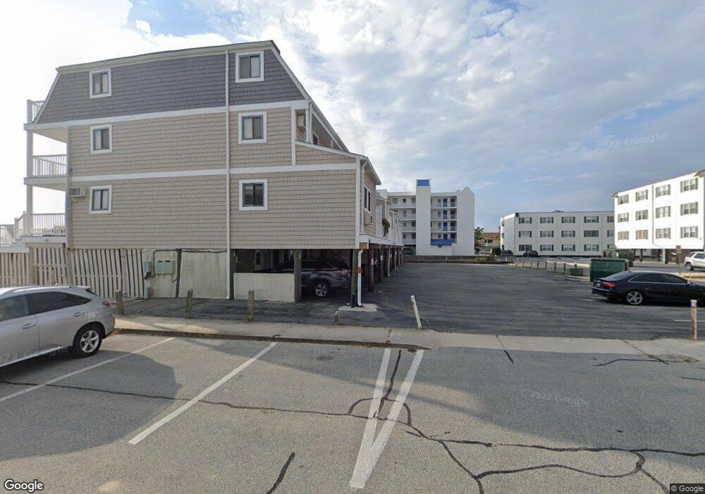
12106 Wight St Unit 4 Ocean City, MD 21842
Estimated Value: $661,000 - $1,405,000
--
Bed
2
Baths
1,560
Sq Ft
$634/Sq Ft
Est. Value
About This Home
This home is located at 12106 Wight St Unit 4, Ocean City, MD 21842 and is currently estimated at $988,496, approximately $633 per square foot. 12106 Wight St Unit 4 is a home located in Worcester County with nearby schools including Ocean City Elementary School, Stephen Decatur Middle School, and Berlin Intermediate School.
Ownership History
Date
Name
Owned For
Owner Type
Purchase Details
Closed on
Jun 11, 2001
Sold by
Vasile Manuel R and Vasile Anna Marie
Bought by
Glynn Michael O and Glynn Mary A
Current Estimated Value
Purchase Details
Closed on
Jul 17, 1984
Sold by
Brantley Mary D
Bought by
Vasile Manuel R and Anna Marie
Home Financials for this Owner
Home Financials are based on the most recent Mortgage that was taken out on this home.
Original Mortgage
$168,300
Interest Rate
14.68%
Create a Home Valuation Report for This Property
The Home Valuation Report is an in-depth analysis detailing your home's value as well as a comparison with similar homes in the area
Home Values in the Area
Average Home Value in this Area
Purchase History
| Date | Buyer | Sale Price | Title Company |
|---|---|---|---|
| Glynn Michael O | $540,000 | -- | |
| Vasile Manuel R | $187,000 | -- |
Source: Public Records
Mortgage History
| Date | Status | Borrower | Loan Amount |
|---|---|---|---|
| Previous Owner | Vasile Manuel R | $168,300 | |
| Closed | Glynn Michael O | -- |
Source: Public Records
Tax History Compared to Growth
Tax History
| Year | Tax Paid | Tax Assessment Tax Assessment Total Assessment is a certain percentage of the fair market value that is determined by local assessors to be the total taxable value of land and additions on the property. | Land | Improvement |
|---|---|---|---|---|
| 2025 | $9,262 | $895,933 | $0 | $0 |
| 2024 | $9,214 | $793,467 | $0 | $0 |
| 2023 | $9,059 | $691,000 | $483,700 | $207,300 |
| 2022 | $8,836 | $661,367 | $0 | $0 |
| 2021 | $8,694 | $631,733 | $0 | $0 |
| 2020 | $8,507 | $602,100 | $421,400 | $180,700 |
| 2019 | $8,565 | $602,100 | $421,400 | $180,700 |
| 2018 | $8,480 | $602,100 | $421,400 | $180,700 |
| 2017 | $8,505 | $602,100 | $0 | $0 |
| 2016 | -- | $602,100 | $0 | $0 |
| 2015 | $8,031 | $602,100 | $0 | $0 |
| 2014 | $8,031 | $602,100 | $0 | $0 |
Source: Public Records
Map
Nearby Homes
- 12102 Assawoman Dr Unit 207B SEA LOFT
- 8 121st St Unit 202
- 12101 Assawoman Dr Unit 203
- 12108 Coastal Hwy Unit 301
- 12108 Coastal Hwy Unit 404
- 12108 Coastal Hwy Unit 303
- 12108 Coastal Hwy Unit 204
- 12201 Wight St Unit 301
- 12 122nd St Unit 3I
- 12 122nd St Unit 3B
- 114 Georgia Ave
- 4 123rd St
- 11900 Coastal Hwy Unit 102
- 12305 Wight St Unit 102
- 12305 Wight St Unit 310
- 103 123rd St
- 103 123rd St
- 101 123rd St Unit 383C
- 101 123rd St Unit 235C3
- 101 123rd St Unit 228C3
- 12106 Wight St Unit 9
- 12106 Wight St Unit 5
- 12106 Wight St Unit 7
- 12106 Wight St Unit 6
- 12106 Wight St Unit 8
- 12106 Wight St Unit 1
- 12106 Wight St Unit 2
- 12106 Wight St Unit 3
- 12103 Wight St Unit N
- 12103 Wight St Unit S
- 12103 Wight St Unit S
- 12103 Wight St
- 501 Wight St Unit 501
- 2 121st St Unit 401
- 2 121st St Unit 301
- 2 121st St Unit 203
- 2 121st St Unit 103
- 2 121st St Unit 402
- 2 121st St Unit 102
- 2 121st St Unit 304