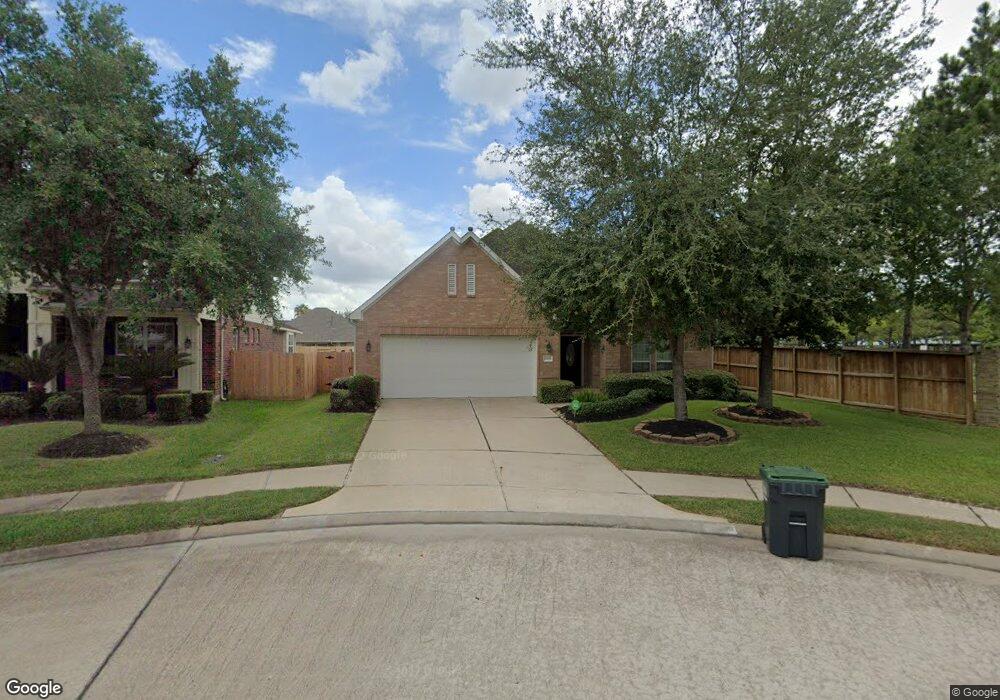
12108 Dawn Mist Ct Pearland, TX 77584
Southern Trails NeighborhoodEstimated Value: $319,399 - $403,000
--
Bed
1
Bath
1,954
Sq Ft
$185/Sq Ft
Est. Value
About This Home
This home is located at 12108 Dawn Mist Ct, Pearland, TX 77584 and is currently estimated at $361,350, approximately $184 per square foot. 12108 Dawn Mist Ct is a home located in Brazoria County with nearby schools including Shirley Dill Brothers Elementary School, DR Ronald E McNair Junior High School, and Shadow Creek High School.
Ownership History
Date
Name
Owned For
Owner Type
Purchase Details
Closed on
Apr 16, 2008
Sold by
Ashton Houston Residential Llc
Bought by
Courtney Timothy A and Li Yuk Mai
Current Estimated Value
Home Financials for this Owner
Home Financials are based on the most recent Mortgage that was taken out on this home.
Original Mortgage
$120,000
Interest Rate
6%
Mortgage Type
Purchase Money Mortgage
Purchase Details
Closed on
Jan 23, 2008
Sold by
Cl Ashton Woods Lp
Bought by
Ashton Houston Residential Llc
Create a Home Valuation Report for This Property
The Home Valuation Report is an in-depth analysis detailing your home's value as well as a comparison with similar homes in the area
Home Values in the Area
Average Home Value in this Area
Purchase History
| Date | Buyer | Sale Price | Title Company |
|---|---|---|---|
| Courtney Timothy A | -- | Dominion Title Llc | |
| Ashton Houston Residential Llc | -- | Dominion Title Llc |
Source: Public Records
Mortgage History
| Date | Status | Borrower | Loan Amount |
|---|---|---|---|
| Closed | Courtney Timothy A | $120,000 |
Source: Public Records
Tax History Compared to Growth
Tax History
| Year | Tax Paid | Tax Assessment Tax Assessment Total Assessment is a certain percentage of the fair market value that is determined by local assessors to be the total taxable value of land and additions on the property. | Land | Improvement |
|---|---|---|---|---|
| 2025 | $5,859 | $320,000 | $72,410 | $247,590 |
| 2023 | $5,859 | $280,500 | $69,420 | $218,580 |
| 2022 | $7,346 | $255,000 | $60,370 | $194,630 |
| 2021 | $8,459 | $237,000 | $60,370 | $176,630 |
| 2020 | $8,763 | $241,000 | $60,370 | $180,630 |
| 2019 | $8,680 | $234,540 | $35,490 | $199,050 |
| 2018 | $8,683 | $234,540 | $35,490 | $199,050 |
| 2017 | $9,259 | $248,480 | $35,490 | $212,990 |
| 2016 | $8,721 | $238,620 | $35,490 | $203,130 |
| 2014 | $6,919 | $196,150 | $35,490 | $160,660 |
Source: Public Records
Map
Nearby Homes
- 12402 Pepper Creek Ln
- 3505 Harvest Moon Ln
- 12501 Pepper Creek Ln
- 3003 Mason Grove Ln
- 12503 Pepper Creek Ln
- 12310 Shady Brook Dr
- 12304 Shady Brook Dr
- 2905 Plum Lake Dr
- 12608 Floral Park Ln
- 11406 Harris Ave
- 12818 Oak Falls Dr
- 11610 Cross Spring Dr
- 12908 Southern Valley Dr
- 2904 Morning Bay Dr
- 12312 Bend Creek Ln
- 2710 Sienna Springs Dr
- 3501 Carson Ct
- 2703 Marble Brook Ln
- 2502 J r Dr
- 0 Carson Rd
- 12106 Dawn Mist Ct
- 12109 Bright Landing Ct
- 12104 Dawn Mist Ct
- 12107 Bright Landing Ct
- 12105 Bright Landing Ct
- 12102 Dawn Mist Ct
- 12103 Bright Landing Ct
- 12103 Dawn Mist Ct
- 12105 Dawn Mist Ct
- 12101 Dawn Mist Ct
- 12101 Bright Landing Ct
- 12008 Dawn Mist Ct
- 12007 Dawn Mist Ct
- 12007 Bright Landing Ct
- 12006 Dawn Mist Ct
- 12108 Bright Landing Ct
- 12110 Bright Landing Ct
- 12010 Springview Ln
- 12005 Dawn Mist Ct
- 12112 Bright Landing Ct