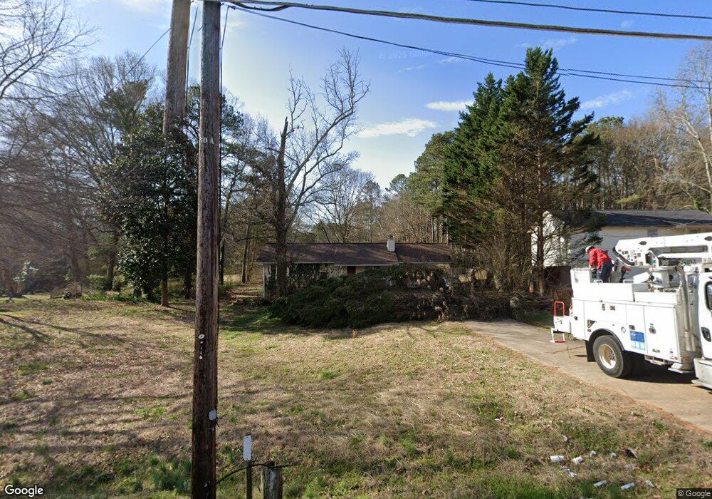
1211 Anderson Mill Rd Austell, GA 30106
Estimated Value: $294,000 - $344,000
3
Beds
2
Baths
1,624
Sq Ft
$196/Sq Ft
Est. Value
About This Home
This home is located at 1211 Anderson Mill Rd, Austell, GA 30106 and is currently estimated at $317,510, approximately $195 per square foot. 1211 Anderson Mill Rd is a home located in Cobb County with nearby schools including Deerwood Elementary School, Sunrise Elementary School, and Sanders Elementary School.
Ownership History
Date
Name
Owned For
Owner Type
Purchase Details
Closed on
Mar 25, 2005
Sold by
Underwood Delores
Bought by
Zephir Delores U and Zephir Frene
Current Estimated Value
Home Financials for this Owner
Home Financials are based on the most recent Mortgage that was taken out on this home.
Original Mortgage
$120,400
Interest Rate
7.05%
Mortgage Type
New Conventional
Purchase Details
Closed on
Sep 28, 1994
Sold by
Johnson Kenneth H Sherry T
Bought by
East Arley V Susan M
Home Financials for this Owner
Home Financials are based on the most recent Mortgage that was taken out on this home.
Original Mortgage
$66,900
Interest Rate
8.53%
Create a Home Valuation Report for This Property
The Home Valuation Report is an in-depth analysis detailing your home's value as well as a comparison with similar homes in the area
Home Values in the Area
Average Home Value in this Area
Purchase History
| Date | Buyer | Sale Price | Title Company |
|---|---|---|---|
| Zephir Delores U | -- | -- | |
| Zephir Delores U | $150,500 | -- | |
| Underwood Delores | $150,500 | -- | |
| East Arley V Susan M | $70,500 | -- |
Source: Public Records
Mortgage History
| Date | Status | Borrower | Loan Amount |
|---|---|---|---|
| Previous Owner | Underwood Delores | $120,400 | |
| Previous Owner | East Arley V Susan M | $66,900 |
Source: Public Records
Tax History Compared to Growth
Tax History
| Year | Tax Paid | Tax Assessment Tax Assessment Total Assessment is a certain percentage of the fair market value that is determined by local assessors to be the total taxable value of land and additions on the property. | Land | Improvement |
|---|---|---|---|---|
| 2025 | $2,662 | $117,972 | $22,000 | $95,972 |
| 2024 | $2,482 | $109,572 | $20,000 | $89,572 |
| 2023 | $1,940 | $109,572 | $20,000 | $89,572 |
| 2022 | $2,502 | $109,572 | $20,000 | $89,572 |
| 2021 | $1,465 | $62,184 | $17,600 | $44,584 |
| 2020 | $1,465 | $62,184 | $17,600 | $44,584 |
| 2019 | $1,465 | $62,184 | $17,600 | $44,584 |
| 2018 | $1,465 | $62,184 | $17,600 | $44,584 |
| 2017 | $1,157 | $50,548 | $18,360 | $32,188 |
| 2016 | $1,158 | $50,548 | $18,360 | $32,188 |
| 2015 | $1,187 | $50,548 | $18,360 | $32,188 |
| 2014 | $1,196 | $50,548 | $0 | $0 |
Source: Public Records
Map
Nearby Homes
- 1240 Parktown Dr Unit 4
- 1146 Silvergate Ln
- 4201 Regal Ridge Rd
- 1078 Hibiscus Way SW
- 1097 Trestle Dr
- 4406 Yelverton Place
- 1021 Wisteria Dr SW
- 4072 Elsdon Dr
- 4612 Springside Ct SW
- 4200 Citizen Cir Unit 3
- 936 Tyrell Dr
- Linden Plan at Sweetlake Grove - Bungalow Series
- 960 Verlander Trail
- 971 Verlander Trail
- 4630 Brookwood Dr SW
- 895 Tyrell Dr
- 4690 Glore Rd SW
- Kaufman Plan at Wilkins Walk
- 1205 Anderson Mill Rd
- 0 Bradley Dr Unit 7483885
- 0 Bradley Dr Unit 3259294
- 0 Bradley Dr Unit 8155626
- 0 Bradley Dr Unit 7574517
- 0 Bradley Dr Unit 7335802
- 1215 Anderson Mill Rd
- 4288 Bradley Dr
- 1193 Anderson Mill Rd
- 1217 Anderson Mill Rd
- 4287 Bradley Dr
- 1250 Anderson Mill Rd
- 4278 Bradley Dr
- 1219 Anderson Mill Rd
- 1180 Anderson Mill Rd
- 4277 Bradley Dr
- 1173 Anderson Mill Rd
- 4260 Bradley Dr
- 4281 Seminole Cir
- 1270 Anderson Mill Rd