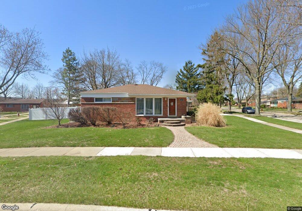
1211 Broadacre Ave Clawson, MI 48017
Estimated Value: $317,089 - $362,000
3
Beds
1
Bath
1,318
Sq Ft
$255/Sq Ft
Est. Value
About This Home
This home is located at 1211 Broadacre Ave, Clawson, MI 48017 and is currently estimated at $335,522, approximately $254 per square foot. 1211 Broadacre Ave is a home located in Oakland County with nearby schools including Clawson Middle School, Clawson High School, and Japhet School.
Ownership History
Date
Name
Owned For
Owner Type
Purchase Details
Closed on
Jul 25, 2019
Sold by
King Charles H
Bought by
King Charles H and King Kimberly A
Current Estimated Value
Purchase Details
Closed on
Aug 20, 1999
Sold by
Loftus Thomas D
Bought by
King Charles H
Purchase Details
Closed on
Aug 12, 1996
Sold by
Wilhelm Allen Barker
Bought by
Loftus Thomas D
Home Financials for this Owner
Home Financials are based on the most recent Mortgage that was taken out on this home.
Original Mortgage
$115,050
Interest Rate
8.29%
Create a Home Valuation Report for This Property
The Home Valuation Report is an in-depth analysis detailing your home's value as well as a comparison with similar homes in the area
Home Values in the Area
Average Home Value in this Area
Purchase History
| Date | Buyer | Sale Price | Title Company |
|---|---|---|---|
| King Charles H | -- | None Available | |
| King Charles H | $152,300 | -- | |
| Loftus Thomas D | $121,200 | -- |
Source: Public Records
Mortgage History
| Date | Status | Borrower | Loan Amount |
|---|---|---|---|
| Previous Owner | Loftus Thomas D | $115,050 |
Source: Public Records
Tax History
| Year | Tax Paid | Tax Assessment Tax Assessment Total Assessment is a certain percentage of the fair market value that is determined by local assessors to be the total taxable value of land and additions on the property. | Land | Improvement |
|---|---|---|---|---|
| 2025 | $3,806 | $157,680 | $0 | $0 |
| 2024 | $3,637 | $149,900 | $0 | $0 |
| 2023 | $3,486 | $140,070 | $0 | $0 |
| 2022 | $3,514 | $129,770 | $0 | $0 |
| 2021 | $3,442 | $121,220 | $0 | $0 |
| 2020 | $3,335 | $113,860 | $0 | $0 |
| 2019 | $3,446 | $108,800 | $0 | $0 |
| 2018 | $3,422 | $99,330 | $0 | $0 |
| 2017 | $3,401 | $95,770 | $0 | $0 |
| 2016 | $3,441 | $89,770 | $0 | $0 |
| 2015 | -- | $81,940 | $0 | $0 |
| 2014 | -- | $71,260 | $0 | $0 |
| 2011 | -- | $66,020 | $0 | $0 |
Source: Public Records
Map
Nearby Homes
- 4909 Crooks Rd Unit D6
- 4909 Crooks Rd Unit 4
- 4905 Crooks A2 Rd
- 4921 N Crooks Rd Unit N-10
- 4921 Crooks Rd Unit N 3
- 4921 Crooks Rd Unit M-10
- 5065 Crooks Rd Unit 49
- 822 Phillips Ave
- 816 W Baker Ave
- 4401 Crooks Rd
- 609 John M Ave
- 4510 Rosewold Ave
- 542 S Manitou Ave
- 2130 Wickham St Unit 4
- 4905 Coventry St
- 4345 Crooks Rd Unit 36
- 515 S Marias Ave
- 2230 W 14 Mile Rd Unit 31
- 4815 Mansfield Ave Unit 22
- 4227 Crooks Rd
- 1227 Broadacre Ave
- 1171 Broadacre Ave
- 1241 Broadacre Ave Unit Bldg-Unit
- 1241 Broadacre Ave
- 1156 Broadacre Ave
- 1210 Broadacre Ave
- 1251 Broadacre Ave
- 1220 Broadacre Ave
- 1167 Broadacre Ave Unit Bldg-Unit
- 1167 Broadacre Ave
- 1230 Broadacre Ave
- 220 N Webik Ave
- 1132 Broadacre Ave
- 1242 Broadacre Ave
- 1163 Broadacre Ave
- 1301 Broadacre Ave
- 230 N Webik Ave
- 1141 Broadacre Ave
- 1157 Broadacre Ave
- 1121 Broadacre Ave
Your Personal Tour Guide
Ask me questions while you tour the home.