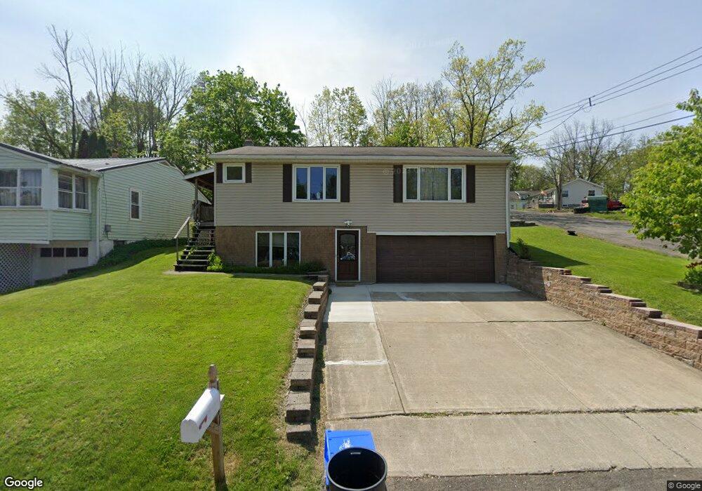
1211 Carrie Ave Endicott, NY 13760
Estimated Value: $141,000 - $158,430
3
Beds
1
Bath
1,280
Sq Ft
$119/Sq Ft
Est. Value
About This Home
This home is located at 1211 Carrie Ave, Endicott, NY 13760 and is currently estimated at $152,358, approximately $119 per square foot. 1211 Carrie Ave is a home located in Broome County with nearby schools including Union-Endicott High School, All Saints, and All Saints School.
Ownership History
Date
Name
Owned For
Owner Type
Purchase Details
Closed on
Jun 27, 2022
Sold by
Kunsman Wayne H
Bought by
Bartleson Carlie
Current Estimated Value
Home Financials for this Owner
Home Financials are based on the most recent Mortgage that was taken out on this home.
Original Mortgage
$75,000
Outstanding Balance
$71,779
Interest Rate
5.81%
Mortgage Type
New Conventional
Estimated Equity
$80,579
Purchase Details
Closed on
Dec 13, 2021
Sold by
Kunsman Wayne H
Bought by
Stanley Jesse C
Create a Home Valuation Report for This Property
The Home Valuation Report is an in-depth analysis detailing your home's value as well as a comparison with similar homes in the area
Home Values in the Area
Average Home Value in this Area
Purchase History
| Date | Buyer | Sale Price | Title Company |
|---|---|---|---|
| Bartleson Carlie | $625 | None Listed On Document | |
| Stanley Jesse C | $3,000 | -- |
Source: Public Records
Mortgage History
| Date | Status | Borrower | Loan Amount |
|---|---|---|---|
| Open | Bartleson Carlie | $75,000 |
Source: Public Records
Tax History Compared to Growth
Tax History
| Year | Tax Paid | Tax Assessment Tax Assessment Total Assessment is a certain percentage of the fair market value that is determined by local assessors to be the total taxable value of land and additions on the property. | Land | Improvement |
|---|---|---|---|---|
| 2024 | $3,347 | $3,400 | $300 | $3,100 |
| 2023 | $3,627 | $3,400 | $300 | $3,100 |
| 2022 | $3,629 | $3,400 | $300 | $3,100 |
| 2021 | $3,551 | $3,400 | $300 | $3,100 |
| 2020 | $2,635 | $3,400 | $300 | $3,100 |
| 2019 | $0 | $3,400 | $300 | $3,100 |
| 2018 | $2,546 | $3,400 | $300 | $3,100 |
| 2017 | $2,491 | $3,400 | $300 | $3,100 |
| 2016 | $2,443 | $3,400 | $300 | $3,100 |
| 2015 | -- | $3,400 | $300 | $3,100 |
| 2014 | -- | $3,400 | $300 | $3,100 |
Source: Public Records
Map
Nearby Homes
- 607 Wallace St
- 843 Day Hollow Rd
- 1219 Crestview Dr
- 513 Lakeview Dr
- 804 Glendale Dr
- 915 Harvard St
- 811 Jennifer Ln
- 515 Glendale Dr
- 419 June St
- 1129 Simon Dr
- 319 Birdsall St
- 1120 Simon Dr
- 304 Birdsall St
- 568 Leon Dr
- 1122 Day Hollow Rd
- 211 N Page Ave
- 10 Denver Ct E
- 322 W Franklin St
- 76 Lake Ave
- 401 Western Heights Blvd
- 1209 Carrie Ave
- 807 Wallace St
- 1301 Carrie Ave
- 1207 Carrie Ave
- 1203 Carrie Ave
- 811 Wallace St
- 1305 Carrie Ave
- 1208 Carrie Ave
- 1206 Carrie Ave
- 806 Martin St
- 810 Wallace St
- 1302 Carrie Ave
- 810 Martin St
- 1202 Carrie Ave
- 815 Wallace St
- 1200 Carrie Ave
- 814 Martin St
- 814 Wallace St
- 717 Wallace St
- 801 Day Hollow Rd