1211 Coal Bank Rd Metamora, IL 61548
Estimated Value: $334,069 - $430,000
--
Bed
--
Bath
4,306
Sq Ft
$91/Sq Ft
Est. Value
About This Home
This home is located at 1211 Coal Bank Rd, Metamora, IL 61548 and is currently estimated at $392,517, approximately $91 per square foot. 1211 Coal Bank Rd is a home located in Woodford County with nearby schools including Metamora Grade School, Metamora High School, and St Mary's Catholic School.
Create a Home Valuation Report for This Property
The Home Valuation Report is an in-depth analysis detailing your home's value as well as a comparison with similar homes in the area
Home Values in the Area
Average Home Value in this Area
Tax History Compared to Growth
Tax History
| Year | Tax Paid | Tax Assessment Tax Assessment Total Assessment is a certain percentage of the fair market value that is determined by local assessors to be the total taxable value of land and additions on the property. | Land | Improvement |
|---|---|---|---|---|
| 2024 | $7,471 | $102,134 | $12,280 | $89,854 |
| 2023 | $6,644 | $93,899 | $11,290 | $82,609 |
| 2022 | $6,629 | $87,080 | $10,470 | $76,610 |
| 2021 | $6,406 | $85,776 | $10,313 | $75,463 |
| 2020 | $5,866 | $85,011 | $10,221 | $74,790 |
| 2019 | $6,265 | $87,821 | $10,559 | $77,262 |
| 2018 | $6,331 | $87,297 | $10,496 | $76,801 |
| 2017 | $6,310 | $87,297 | $10,496 | $76,801 |
| 2016 | $6,359 | $86,433 | $10,392 | $76,041 |
| 2015 | $5,680 | $83,753 | $10,070 | $73,683 |
| 2014 | $5,680 | $81,511 | $9,800 | $71,711 |
| 2013 | $5,680 | $82,094 | $9,870 | $72,224 |
Source: Public Records
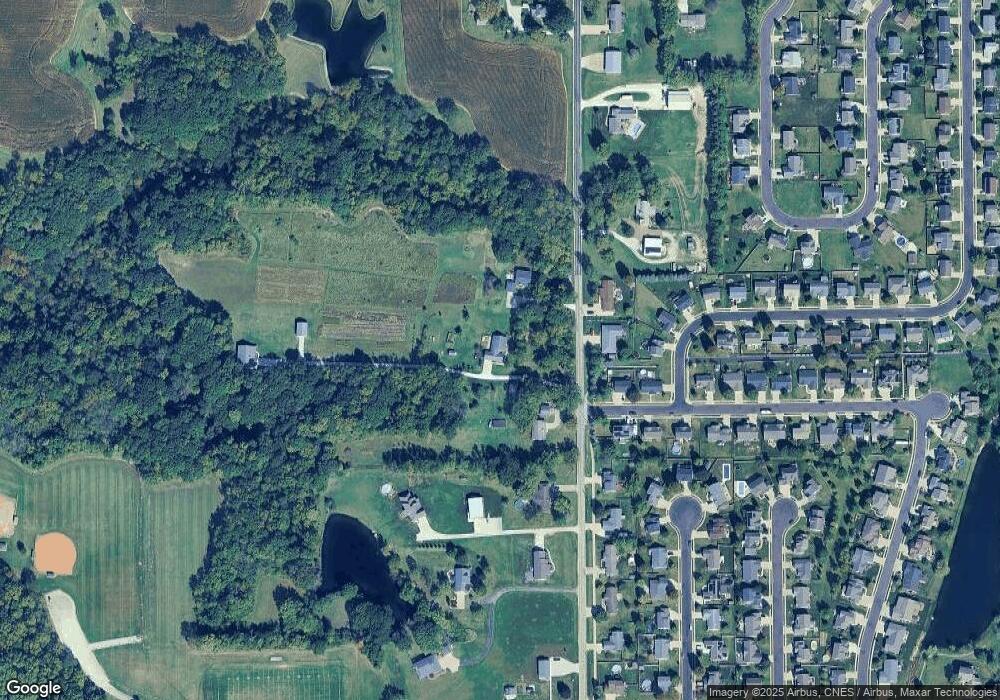
Map
Nearby Homes
- 1301 Coal Bank Rd
- 1201 Coal Bank Rd
- 1212 Coal Bank Rd
- 1441 Glenwood Ave
- 1220 Coal Bank Rd
- 1003 White Horse Trail
- 1440 Glenwood Ave
- 1015 Coal Bank Rd
- 1101 White Horse Trail
- 1101 White Horse Trail Unit M
- 1435 Glenwood Ave
- 1435 Glenwood Ave Unit 3
- 1103 White Horse Trail
- 1430 Glenwood Ave
- 1110 Coal Bank Rd
- 1310 Coal Bank Rd
- 1400 Glenwood Ave
- 1395 Glenwood Ave
- 1129 Belsly Way
- 1100 Coal Bank Rd