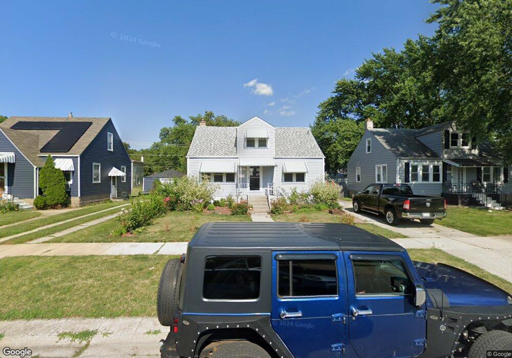
1211 Hirsch Ave Calumet City, IL 60409
Estimated Value: $137,000 - $181,000
4
Beds
2
Baths
1,200
Sq Ft
$134/Sq Ft
Est. Value
About This Home
This home is located at 1211 Hirsch Ave, Calumet City, IL 60409 and is currently estimated at $161,383, approximately $134 per square foot. 1211 Hirsch Ave is a home located in Cook County with nearby schools including Hoover Elementary School, Schrum Memorial Middle School, and Thornton Fractional North High School.
Ownership History
Date
Name
Owned For
Owner Type
Purchase Details
Closed on
Mar 17, 2017
Sold by
Wojcik Cathy A
Bought by
Robinson Cassandra
Current Estimated Value
Home Financials for this Owner
Home Financials are based on the most recent Mortgage that was taken out on this home.
Original Mortgage
$7,500
Outstanding Balance
$6,219
Interest Rate
4.17%
Mortgage Type
Second Mortgage Made To Cover Down Payment
Estimated Equity
$155,164
Purchase Details
Closed on
Aug 21, 2001
Sold by
Chicago Title Land Trust Company
Bought by
Wojcik Therese E and The Therese E Wojcik Trust
Create a Home Valuation Report for This Property
The Home Valuation Report is an in-depth analysis detailing your home's value as well as a comparison with similar homes in the area
Home Values in the Area
Average Home Value in this Area
Purchase History
| Date | Buyer | Sale Price | Title Company |
|---|---|---|---|
| Robinson Cassandra | $80,000 | Alliance Title Corporation | |
| Wojcik Therese E | -- | -- |
Source: Public Records
Mortgage History
| Date | Status | Borrower | Loan Amount |
|---|---|---|---|
| Open | Robinson Cassandra | $7,500 |
Source: Public Records
Tax History Compared to Growth
Tax History
| Year | Tax Paid | Tax Assessment Tax Assessment Total Assessment is a certain percentage of the fair market value that is determined by local assessors to be the total taxable value of land and additions on the property. | Land | Improvement |
|---|---|---|---|---|
| 2024 | $5,712 | $12,000 | $2,805 | $9,195 |
| 2023 | $2,640 | $12,000 | $2,805 | $9,195 |
| 2022 | $2,640 | $6,516 | $2,475 | $4,041 |
| 2021 | $2,665 | $6,516 | $2,475 | $4,041 |
| 2020 | $2,413 | $6,516 | $2,475 | $4,041 |
| 2019 | $3,447 | $8,066 | $2,310 | $5,756 |
| 2018 | $3,464 | $8,066 | $2,310 | $5,756 |
| 2017 | $5,731 | $8,066 | $2,310 | $5,756 |
| 2016 | $238 | $6,824 | $2,145 | $4,679 |
| 2015 | $247 | $6,824 | $2,145 | $4,679 |
| 2014 | $232 | $6,824 | $2,145 | $4,679 |
| 2013 | $220 | $7,621 | $2,145 | $5,476 |
Source: Public Records
Map
Nearby Homes
- 305 River Oaks Dr
- 1272 Burnham Ave
- 1051 Burnham Ave
- 1295 Hirsch Ave
- 1262 Greenbay Ave
- 302 161st St
- 1295 Greenbay Ave
- 1040 Hirsch Blvd Unit 204
- 1304 Freeland Ave
- 1313 Gordon Ave
- 550 Michigan City Rd Unit 3A
- 1317 Mackinaw Ave
- 1341 Gordon Ave
- 1354 Hirsch Ave
- 1351 Gordon Ave
- 1366 Price Ave
- 826 Williams St
- 836 Williams St
- 1253 Arthur St
- 306 Elizabeth St
- 1215 Hirsch Ave
- 1207 Hirsch Ave
- 1219 Hirsch Ave
- 513 159th St
- 519 159th St
- 1210 Price Ave
- 1223 Hirsch Ave
- 1214 Price Ave
- 1206 Price Ave
- 507 159th St
- 1218 Price Ave
- 1210 Hirsch Ave
- 1206 Hirsch Ave
- 1222 Price Ave
- 1218 Hirsch Ave
- 1224 Hirsch Ave
- 1224 Hirsch Ave
- 1200 Hirsch Ave
- 1200 Hirsch Ave
- 1226 Price Ave