Estimated Value: $364,222 - $694,000
4
Beds
4
Baths
2,284
Sq Ft
$218/Sq Ft
Est. Value
About This Home
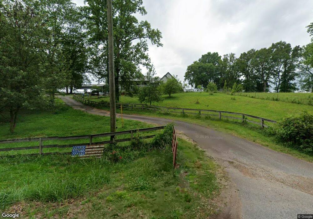
This home is located at 1211 Jackson Bridge Rd, Canon, GA 30520 and is currently estimated at $496,806, approximately $217 per square foot. 1211 Jackson Bridge Rd is a home located in Franklin County with nearby schools including Franklin County High School.
Ownership History
Date
Name
Owned For
Owner Type
Purchase Details
Closed on
Jan 4, 2007
Sold by
Mason Place Llc
Bought by
Payne Michael E
Current Estimated Value
Home Financials for this Owner
Home Financials are based on the most recent Mortgage that was taken out on this home.
Original Mortgage
$315,000
Outstanding Balance
$186,562
Interest Rate
6.05%
Mortgage Type
New Conventional
Estimated Equity
$310,244
Purchase Details
Closed on
May 19, 2000
Sold by
Payne Michael
Bought by
Brown Steven W
Create a Home Valuation Report for This Property
The Home Valuation Report is an in-depth analysis detailing your home's value as well as a comparison with similar homes in the area
Home Values in the Area
Average Home Value in this Area
Purchase History
| Date | Buyer | Sale Price | Title Company |
|---|---|---|---|
| Payne Michael E | $350,000 | -- | |
| Brown Steven W | $84,500 | -- |
Source: Public Records
Mortgage History
| Date | Status | Borrower | Loan Amount |
|---|---|---|---|
| Open | Payne Michael E | $315,000 |
Source: Public Records
Tax History Compared to Growth
Tax History
| Year | Tax Paid | Tax Assessment Tax Assessment Total Assessment is a certain percentage of the fair market value that is determined by local assessors to be the total taxable value of land and additions on the property. | Land | Improvement |
|---|---|---|---|---|
| 2024 | $2,137 | $109,759 | $12,698 | $97,061 |
| 2023 | $2,523 | $99,780 | $11,543 | $88,237 |
| 2022 | $2,254 | $89,363 | $9,157 | $80,206 |
| 2021 | $2,072 | $77,310 | $9,157 | $68,153 |
| 2020 | $2,094 | $77,310 | $9,157 | $68,153 |
| 2019 | $2,159 | $77,310 | $9,157 | $68,153 |
| 2018 | $1,785 | $68,435 | $7,482 | $60,953 |
| 2017 | $1,856 | $68,435 | $7,482 | $60,953 |
| 2016 | $1,774 | $62,793 | $7,482 | $55,311 |
| 2015 | -- | $62,793 | $7,482 | $55,311 |
| 2014 | -- | $62,793 | $7,482 | $55,311 |
| 2013 | -- | $64,126 | $7,482 | $56,644 |
Source: Public Records
Map
Nearby Homes
- 356 Burroughs Rd
- 1320 Burroughs Rd
- 2985 Jackson Bridge Rd
- 0 Unawatti Rd Unit 10613869
- 2521 Starrs Bridge Rd
- 432 Airport Rd
- 0 Murphy Rd Unit 10585891
- 456 Aderhold Rd
- 499 Aderhold Rd
- 61 Turnbull Rd
- 110 Telford Rd
- 2621 Bond Ave
- 340 Telford Rd
- 2556 Turkey Creek Rd
- 0 Turkey Creek Rd Unit 10589237
- 566 Hoke Hill Rd
- 269 Franklin Hills Dr Unit B19
- 228 Franklin Hills Dr Unit B14
- 228 Franklin Hills Dr
- 7690 Royston Rd
- 1163 Jackson Bridge Rd
- 731 Mason Rd
- 1050 Jackson Bridge Rd
- 730 Mason Rd
- 862 Jackson Bridge Rd
- 1383 Jackson Bridge Rd
- 1467 Jackson Bridge Rd
- 0 Jackson Bridge Rd Unit 2599574
- 0 Jackson Bridge Rd Unit 7568195
- 0 Jackson Bridge Rd Unit 20170374
- 0 Jackson Bridge Rd Unit 20170372
- 0 Jackson Bridge Rd Unit 20170370
- 0 Jackson Bridge Rd Unit 20170368
- 0 Jackson Bridge Rd Unit 20170365
- 0 Jackson Bridge Rd Unit 20170362
- 0 Jackson Bridge Rd Unit 7424111
- 0 Jackson Bridge Rd Unit 8219631
- 0 Jackson Bridge Rd Unit 8547776
- 871 Jackson Bridge Rd
- 836 Jackson Bridge Rd