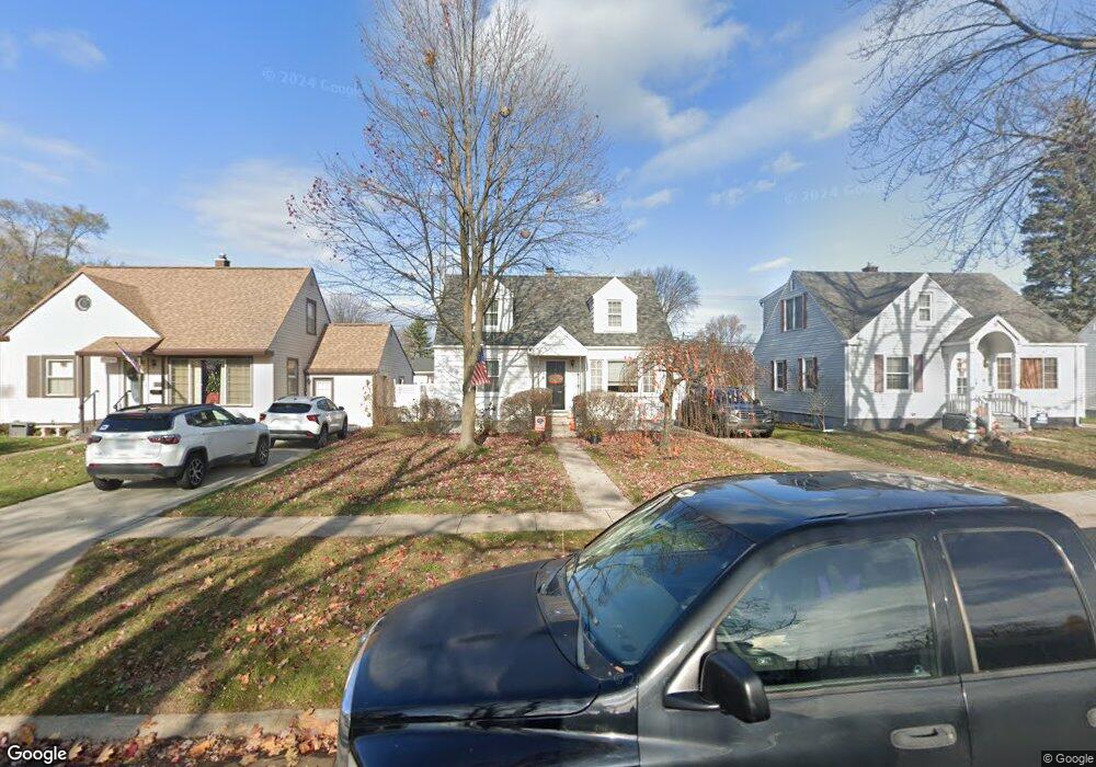
1211 Joann Ct Port Huron, MI 48060
Estimated Value: $189,793 - $199,000
3
Beds
1
Bath
1,007
Sq Ft
$193/Sq Ft
Est. Value
About This Home
This home is located at 1211 Joann Ct, Port Huron, MI 48060 and is currently estimated at $193,948, approximately $192 per square foot. 1211 Joann Ct is a home located in St. Clair County with nearby schools including Garfield Elementary School, Holland Woods Middle School, and Port Huron Northern High School.
Ownership History
Date
Name
Owned For
Owner Type
Purchase Details
Closed on
Feb 7, 2025
Sold by
Francis Thomas A and Sullivan Elizabeth M
Bought by
Sullivan Elizabeth M and Polack Damian
Current Estimated Value
Home Financials for this Owner
Home Financials are based on the most recent Mortgage that was taken out on this home.
Original Mortgage
$146,520
Outstanding Balance
$145,649
Interest Rate
6.91%
Mortgage Type
FHA
Estimated Equity
$48,299
Create a Home Valuation Report for This Property
The Home Valuation Report is an in-depth analysis detailing your home's value as well as a comparison with similar homes in the area
Home Values in the Area
Average Home Value in this Area
Purchase History
| Date | Buyer | Sale Price | Title Company |
|---|---|---|---|
| Sullivan Elizabeth M | -- | None Listed On Document | |
| Sullivan Elizabeth M | -- | None Listed On Document |
Source: Public Records
Mortgage History
| Date | Status | Borrower | Loan Amount |
|---|---|---|---|
| Open | Sullivan Elizabeth M | $146,520 | |
| Closed | Sullivan Elizabeth M | $146,520 |
Source: Public Records
Tax History Compared to Growth
Tax History
| Year | Tax Paid | Tax Assessment Tax Assessment Total Assessment is a certain percentage of the fair market value that is determined by local assessors to be the total taxable value of land and additions on the property. | Land | Improvement |
|---|---|---|---|---|
| 2025 | $2,170 | $82,100 | $0 | $0 |
| 2024 | $1,843 | $75,700 | $0 | $0 |
| 2023 | $1,741 | $66,900 | $0 | $0 |
| 2022 | $1,825 | $60,600 | $0 | $0 |
| 2021 | $1,732 | $56,600 | $0 | $0 |
| 2020 | $1,752 | $54,500 | $54,500 | $0 |
| 2019 | $1,721 | $47,400 | $0 | $0 |
| 2018 | $1,683 | $47,400 | $0 | $0 |
| 2017 | $1,503 | $43,400 | $0 | $0 |
| 2016 | $1,284 | $43,400 | $0 | $0 |
| 2015 | $1,260 | $38,600 | $38,600 | $0 |
| 2014 | $1,260 | $35,500 | $35,500 | $0 |
| 2013 | -- | $34,600 | $0 | $0 |
Source: Public Records
Map
Nearby Homes
- 1202 Palmer Ct
- 3214 Poplar St
- 2913 11th Ave
- 1020 Sanborn St
- 3321 Stone St
- 1531 Robinson St
- 1434 Schumaker St
- 1218 Garfield St
- 1424 Hazelwood Ln
- 3455 Gratiot Ave
- 1116 Hancock St
- 3208 Mount Vernon Rd
- 2835 17th Ave
- 2400 Stone St Unit 2414
- 2419 Cherry St
- 909 Elmwood St
- 2812 19th Ave
- 2431 Armour St
- 2215 Hancock St
- 3419 Riverside Dr
- 1217 Joann Ct
- 1207 Joann Ct
- 1201 Joann Ct
- 1212 Sparta Ct
- 1212 Sparta Dr
- 1221 Joann Ct
- 1210 Sparta Dr
- 1204 Sparta Dr
- 1117 Joann Ct
- 1301 Joann Ct
- 1216 Sparta Dr Unit Bldg-Unit
- 1216 Sparta Dr
- 1212 Joann Ct
- 1202 Sparta Dr
- 1200 Joann Ct
- 1305 Joann Ct
- 1216 Joann Ct
- 1220 Sparta Dr
- 1311 Joann Ct
- 1209 Sparta Dr