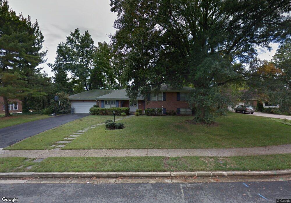
1211 La Ronde Ct Alexandria, VA 22307
Fort Hunt NeighborhoodEstimated Value: $1,252,000 - $1,358,000
4
Beds
3
Baths
2,183
Sq Ft
$598/Sq Ft
Est. Value
About This Home
This home is located at 1211 La Ronde Ct, Alexandria, VA 22307 and is currently estimated at $1,305,062, approximately $597 per square foot. 1211 La Ronde Ct is a home located in Fairfax County with nearby schools including Belle View Elementary School, Sandburg Middle, and West Potomac High School.
Ownership History
Date
Name
Owned For
Owner Type
Purchase Details
Closed on
May 31, 2000
Sold by
Otto Edwin R
Bought by
Wiltsie Ronald
Current Estimated Value
Home Financials for this Owner
Home Financials are based on the most recent Mortgage that was taken out on this home.
Original Mortgage
$368,000
Outstanding Balance
$128,994
Interest Rate
8.14%
Estimated Equity
$1,176,068
Create a Home Valuation Report for This Property
The Home Valuation Report is an in-depth analysis detailing your home's value as well as a comparison with similar homes in the area
Home Values in the Area
Average Home Value in this Area
Purchase History
| Date | Buyer | Sale Price | Title Company |
|---|---|---|---|
| Wiltsie Ronald | $460,000 | -- |
Source: Public Records
Mortgage History
| Date | Status | Borrower | Loan Amount |
|---|---|---|---|
| Open | Wiltsie Ronald | $368,000 |
Source: Public Records
Tax History Compared to Growth
Tax History
| Year | Tax Paid | Tax Assessment Tax Assessment Total Assessment is a certain percentage of the fair market value that is determined by local assessors to be the total taxable value of land and additions on the property. | Land | Improvement |
|---|---|---|---|---|
| 2025 | $14,805 | $1,267,420 | $493,000 | $774,420 |
| 2024 | $14,805 | $1,230,080 | $473,000 | $757,080 |
| 2023 | $13,200 | $1,126,250 | $438,000 | $688,250 |
| 2022 | $12,260 | $1,030,570 | $423,000 | $607,570 |
| 2021 | $12,157 | $1,001,880 | $403,000 | $598,880 |
| 2020 | $11,342 | $927,070 | $364,000 | $563,070 |
| 2019 | $10,963 | $893,800 | $350,000 | $543,800 |
| 2018 | $9,429 | $819,900 | $321,000 | $498,900 |
| 2017 | $8,823 | $786,780 | $300,000 | $486,780 |
| 2016 | $8,805 | $730,250 | $300,000 | $430,250 |
| 2015 | $8,717 | $750,170 | $300,000 | $450,170 |
| 2014 | $8,698 | $750,170 | $300,000 | $450,170 |
Source: Public Records
Map
Nearby Homes
- 7404 Rippon Rd
- 7533 Hollindale Ct
- 7105 Fort Hunt Rd
- 1911 Marthas Rd
- 1804 Mason Hill Dr
- 1616 Sherwood Hall Ln
- 1502 Middlebury Dr
- 1211 Wake Forest Dr
- 2111 Rollins Dr
- 7214 Rebecca Dr
- 7128 Devonshire Rd
- 6918 Randolph Macon Dr
- 7409 Range Rd
- 6631 Wakefield Dr Unit 819
- 6631 Wakefield Dr Unit 106
- 141 Shannon Ct
- 6905 Radcliffe Dr
- 6621 Wakefield Dr Unit 418
- 6641 Wakefield Dr Unit 616
- 6641 Wakefield Dr Unit 801
- 7310 Burtonwood Dr
- 1215 La Ronde Ct
- 1300 Gatewood Dr
- 1302 Gatewood Dr
- 1212 La Ronde Ct
- 1214 La Ronde Ct
- 1217 La Ronde Ct
- 1306 Gatewood Dr
- 7306 Burtonwood Dr
- 1216 Laronde Ct
- 1310 Gatewood Dr
- 1216 La Ronde Ct
- 1209 Villamay Blvd
- 1212 Gatewood Dr
- 1314 Gatewood Dr
- 1211 Villamay Blvd
- 7309 Burtonwood Dr
- 7300 Burtonwood Dr
- 1316 Gatewood Dr
- 7400 Burtonwood Dr