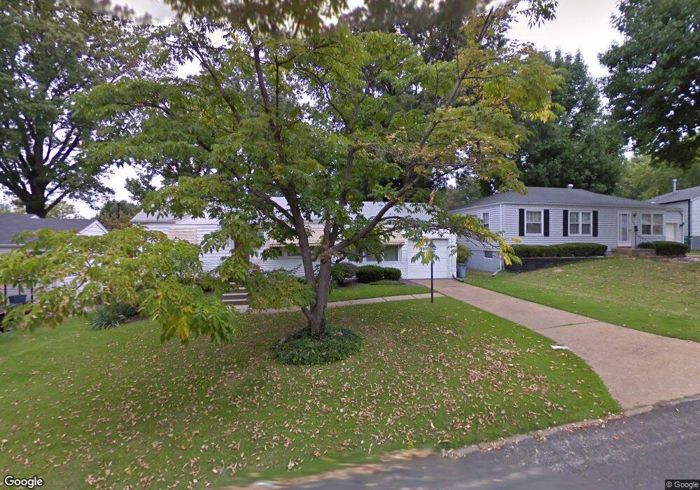
1211 Laire Dr Saint Louis, MO 63137
Estimated Value: $95,000 - $111,000
2
Beds
1
Bath
992
Sq Ft
$101/Sq Ft
Est. Value
About This Home
This home is located at 1211 Laire Dr, Saint Louis, MO 63137 and is currently estimated at $100,340, approximately $101 per square foot. 1211 Laire Dr is a home located in St. Louis County with nearby schools including Riverview Gardens Senior High School, Grace Chapel Lutheran School, and St. Louis Unified School.
Ownership History
Date
Name
Owned For
Owner Type
Purchase Details
Closed on
Jun 9, 2006
Sold by
Johnson Judith L and Powell Barbara J
Bought by
Powell Barbara J
Current Estimated Value
Home Financials for this Owner
Home Financials are based on the most recent Mortgage that was taken out on this home.
Original Mortgage
$54,000
Outstanding Balance
$31,730
Interest Rate
6.56%
Mortgage Type
Stand Alone Refi Refinance Of Original Loan
Estimated Equity
$68,610
Create a Home Valuation Report for This Property
The Home Valuation Report is an in-depth analysis detailing your home's value as well as a comparison with similar homes in the area
Home Values in the Area
Average Home Value in this Area
Purchase History
| Date | Buyer | Sale Price | Title Company |
|---|---|---|---|
| Powell Barbara J | $54,000 | None Available |
Source: Public Records
Mortgage History
| Date | Status | Borrower | Loan Amount |
|---|---|---|---|
| Open | Powell Barbara J | $54,000 |
Source: Public Records
Tax History Compared to Growth
Tax History
| Year | Tax Paid | Tax Assessment Tax Assessment Total Assessment is a certain percentage of the fair market value that is determined by local assessors to be the total taxable value of land and additions on the property. | Land | Improvement |
|---|---|---|---|---|
| 2025 | $1,848 | $16,500 | $2,760 | $13,740 |
| 2024 | $1,848 | $16,040 | $2,760 | $13,280 |
| 2023 | $1,826 | $16,040 | $2,760 | $13,280 |
| 2022 | $1,358 | $9,500 | $1,960 | $7,540 |
| 2021 | $1,346 | $9,500 | $1,960 | $7,540 |
| 2020 | $1,212 | $9,310 | $2,360 | $6,950 |
| 2019 | $1,178 | $9,310 | $2,360 | $6,950 |
| 2018 | $1,033 | $7,620 | $860 | $6,760 |
| 2017 | $999 | $7,620 | $860 | $6,760 |
| 2016 | $1,202 | $9,090 | $1,620 | $7,470 |
| 2015 | $1,095 | $9,090 | $1,620 | $7,470 |
| 2014 | $1,123 | $9,370 | $2,090 | $7,280 |
Source: Public Records
Map
Nearby Homes
- 10233 Unicorn Dr
- 10218 Unicorn Dr
- 1132 Kilgore Dr
- 10200 Tappan Dr
- 10249 Coburg Lands Dr
- 10236 Tappan Dr
- 10139 Cabot Dr
- 10130 Newbold Dr
- 1100 Ashford Dr
- 1127 Chambers Rd
- 1213 Addison Dr
- 10043 Hedge Dr
- 1422 Akron Dr
- 1295 Chambers Rd
- 10346 Ashbrook Dr
- 10116 Bellefontaine Rd
- 1207 Bakewell Dr
- 1507 Golden Dr
- 1521 Corinth Dr
- 1100 La Roux Ct