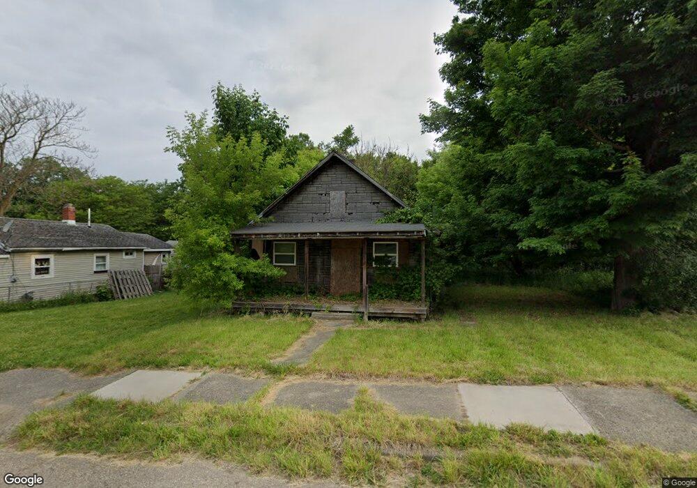
1211 Mabel Ave Flint, MI 48506
Eastside NeighborhoodEstimated Value: $24,000 - $64,000
2
Beds
1
Bath
688
Sq Ft
$64/Sq Ft
Est. Value
About This Home
This home is located at 1211 Mabel Ave, Flint, MI 48506 and is currently estimated at $44,000, approximately $63 per square foot. 1211 Mabel Ave is a home located in Genesee County with nearby schools including Potter School, Flint Cultural Center Academy, and WAY Academy of Flint.
Ownership History
Date
Name
Owned For
Owner Type
Purchase Details
Closed on
Dec 20, 2016
Sold by
Cherry Deborh L
Bought by
Genesee County Land Bank
Current Estimated Value
Purchase Details
Closed on
Mar 31, 2010
Sold by
Hollaway Roy and Kranick Shawnett
Bought by
Smithingell Daniel C
Purchase Details
Closed on
Nov 20, 2009
Sold by
Kildee Daniel T
Bought by
Hollaway Roy and Kranick Shawnett
Purchase Details
Closed on
Feb 3, 2004
Sold by
Groleau Joyce and Estate Of Basil E Roth
Bought by
Roth Eleazer L and Roth Andrea D
Purchase Details
Closed on
May 1, 2001
Sold by
Smithville Daniel C
Bought by
Howard Larry
Create a Home Valuation Report for This Property
The Home Valuation Report is an in-depth analysis detailing your home's value as well as a comparison with similar homes in the area
Home Values in the Area
Average Home Value in this Area
Purchase History
| Date | Buyer | Sale Price | Title Company |
|---|---|---|---|
| Genesee County Land Bank | -- | None Available | |
| Smithingell Daniel C | $500 | Cislo Title Company | |
| Hollaway Roy | $300 | None Available | |
| Roth Eleazer L | -- | -- | |
| Howard Larry | -- | None Available |
Source: Public Records
Tax History
| Year | Tax Paid | Tax Assessment Tax Assessment Total Assessment is a certain percentage of the fair market value that is determined by local assessors to be the total taxable value of land and additions on the property. | Land | Improvement |
|---|---|---|---|---|
| 2025 | -- | $0 | $0 | $0 |
| 2024 | -- | $0 | $0 | $0 |
| 2023 | -- | $0 | $0 | $0 |
| 2022 | $0 | $0 | $0 | $0 |
| 2021 | $0 | $0 | $0 | $0 |
| 2020 | $0 | $0 | $0 | $0 |
| 2019 | $341 | $0 | $0 | $0 |
| 2018 | $221 | $0 | $0 | $0 |
| 2017 | $221 | $0 | $0 | $0 |
| 2016 | $341 | $0 | $0 | $0 |
| 2015 | $0 | $0 | $0 | $0 |
| 2014 | -- | $0 | $0 | $0 |
| 2012 | -- | $2,300 | $0 | $0 |
Source: Public Records
Map
Nearby Homes
- 1273 Broadway Blvd
- 1454 Delaware Ave
- 1445 Maryland Ave
- 1529 Broadway Blvd
- 1422 Leith St
- 1629 New York Ave
- 1518 Leith St
- 1540 Illinois Ave
- 1379 Washington Ave
- 1526 Montana Ave
- 1706 Wilberforce Cir
- 1721 New York Ave
- 1710 Wilberforce Cir
- 1805 Bennett Ave
- 1609 Ohio Ave
- 1623 Montana Ave
- 1730 Oklahoma Ave
- 1733 Oklahoma Ave
- 1526 Arizona Ave
- 1724 Ohio Ave
- 1209 Mabel Ave
- 1207 Mabel Ave
- 2221 Lyman St
- 2309 Lyman St
- 2313 Lyman St
- 1302 Mabel Ave
- 2315 Lyman St
- 2228 Riverside Dr
- 2218 Lyman St
- 1301 Mabel Ave
- 2321 Lyman St
- 2216 Lyman St
- 2211 Lyman St
- 2410 Riverside Dr
- 2418 Riverside Dr
- 2212 Lyman St
- 2404 Riverside Dr
- 1223 Bennett Ave
- 1219 Bennett Ave
- 1231 Bennett Ave
Your Personal Tour Guide
Ask me questions while you tour the home.