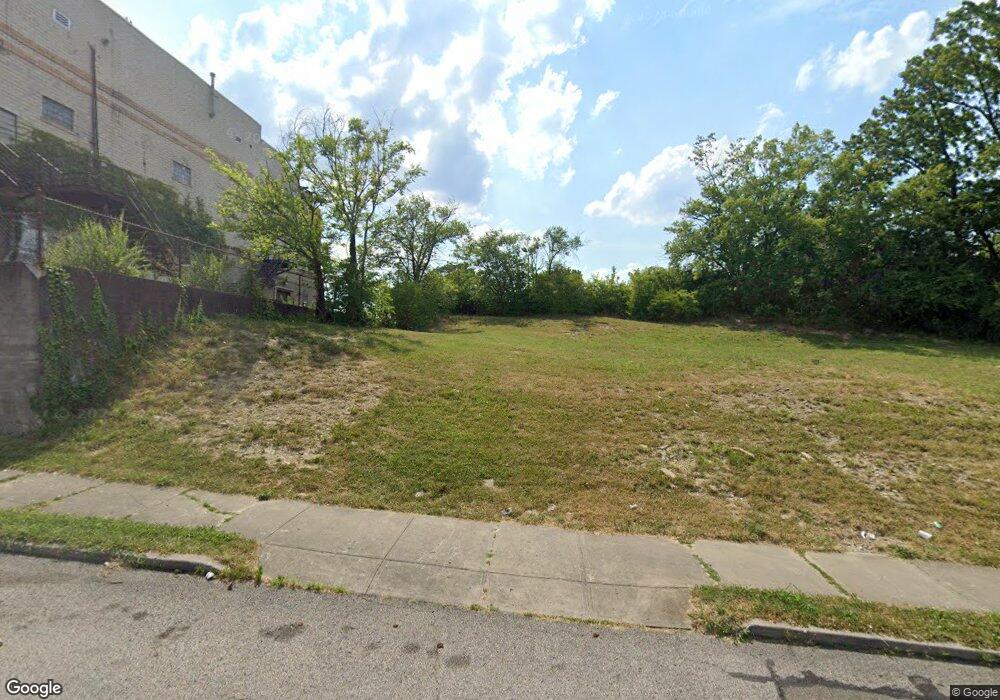
1211 Manss Ave Cincinnati, OH 45205
West Price Hill NeighborhoodEstimated Value: $38,938
3
Beds
3
Baths
2,123
Sq Ft
$18/Sq Ft
Est. Value
About This Home
This home is located at 1211 Manss Ave, Cincinnati, OH 45205 and is currently estimated at $38,938, approximately $18 per square foot. 1211 Manss Ave is a home located in Hamilton County with nearby schools including Carson School, Gilbert A. Dater High School, and Western Hills High School.
Ownership History
Date
Name
Owned For
Owner Type
Purchase Details
Closed on
Oct 20, 2020
Sold by
Hamilton County Land Reutilization Corp
Bought by
Port Of Greater Cincinnati Dev Authority
Current Estimated Value
Purchase Details
Closed on
Jun 10, 2019
Sold by
Act Community Development Llc
Bought by
Hamilton County Land Reutilization Corp
Purchase Details
Closed on
Jan 9, 2013
Sold by
Brown Albert L
Bought by
Act Community Development Llc
Purchase Details
Closed on
Nov 8, 2012
Sold by
Ammon Glenn A and Ammon Kimberly
Bought by
Brown Albert L
Purchase Details
Closed on
Oct 12, 2004
Sold by
Zinser Pearl G
Bought by
Ammon Glenn A and Ammon Kimberly
Purchase Details
Closed on
Dec 29, 1993
Sold by
Zinser Kenneth J and Zinser Pearl
Bought by
Zinser Pearl G and Zinser Kenneth J
Create a Home Valuation Report for This Property
The Home Valuation Report is an in-depth analysis detailing your home's value as well as a comparison with similar homes in the area
Home Values in the Area
Average Home Value in this Area
Purchase History
| Date | Buyer | Sale Price | Title Company |
|---|---|---|---|
| Port Of Greater Cincinnati Dev Authority | -- | None Available | |
| Hamilton County Land Reutilization Corp | -- | None Available | |
| Act Community Development Llc | $25,150 | Attorney | |
| Brown Albert L | $3,000 | Stewart Title Company | |
| Ammon Glenn A | $19,000 | -- | |
| Zinser Pearl G | -- | -- |
Source: Public Records
Tax History
| Year | Tax Paid | Tax Assessment Tax Assessment Total Assessment is a certain percentage of the fair market value that is determined by local assessors to be the total taxable value of land and additions on the property. | Land | Improvement |
|---|---|---|---|---|
| 2025 | -- | $4,148 | $4,148 | -- |
| 2024 | -- | $4,148 | $4,148 | -- |
| 2023 | $3,374 | $53,309 | $4,148 | $49,161 |
| 2022 | $1,607 | $22,838 | $4,120 | $18,718 |
| 2021 | $1,580 | $22,838 | $4,120 | $18,718 |
| 2020 | $1,585 | $22,838 | $4,120 | $18,718 |
| 2019 | $1,592 | $20,762 | $3,745 | $17,017 |
| 2018 | $1,594 | $20,762 | $3,745 | $17,017 |
| 2017 | $2,216 | $20,762 | $3,745 | $17,017 |
| 2016 | $1,161 | $7,746 | $4,001 | $3,745 |
| 2015 | $530 | $7,746 | $4,001 | $3,745 |
| 2014 | $516 | $7,746 | $4,001 | $3,745 |
| 2013 | $595 | $8,803 | $4,547 | $4,256 |
Source: Public Records
Map
Nearby Homes
- 2403 Glenway Ave
- 1222 Dewey Ave
- 4033 W Liberty St
- 1318 Beech Ave
- 3744 Mayfield Ave
- 1113 Gilsey Ave
- 3742 Mayfield Ave
- 1613 Wyoming Ave
- 1011 Seton Ave
- 1634 Dewey Ave
- 1110 Winfield Ave
- 1705 Wyoming Ave
- 1647 Dewey Ave
- 952 Seton Ave
- 1710 Wyoming Ave
- 944 Seton Ave
- 963 Oakland Ave
- 1440 Manss Ave
- 945 Oakland Ave
- 1002 Winfield Ave
Your Personal Tour Guide
Ask me questions while you tour the home.