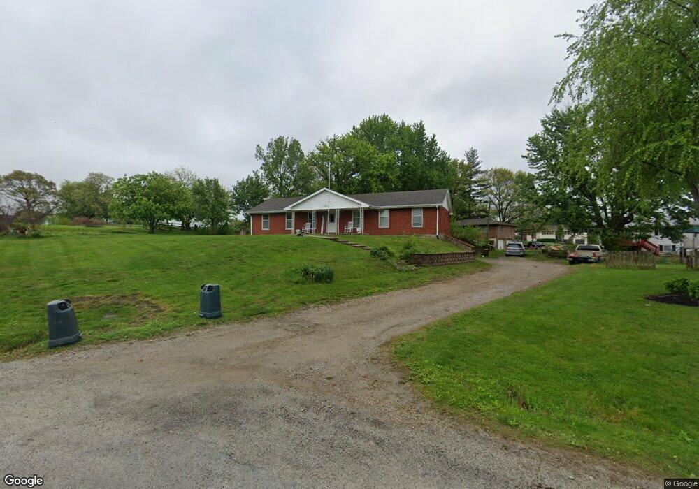
1211 Matylda Dr Stewartsville, MO 64490
Estimated Value: $195,000 - $339,000
3
Beds
--
Bath
2,667
Sq Ft
$99/Sq Ft
Est. Value
About This Home
This home is located at 1211 Matylda Dr, Stewartsville, MO 64490 and is currently estimated at $264,841, approximately $99 per square foot. 1211 Matylda Dr is a home with nearby schools including Stewartsville Elementary School and Stewartsville High School.
Ownership History
Date
Name
Owned For
Owner Type
Purchase Details
Closed on
Jun 10, 2022
Sold by
Francis Larry L and Francis Melissa K
Bought by
Francis Nickolas Seth and Francis Dallas Makenzie
Current Estimated Value
Home Financials for this Owner
Home Financials are based on the most recent Mortgage that was taken out on this home.
Original Mortgage
$124,000
Outstanding Balance
$117,810
Interest Rate
5.1%
Mortgage Type
New Conventional
Estimated Equity
$147,031
Create a Home Valuation Report for This Property
The Home Valuation Report is an in-depth analysis detailing your home's value as well as a comparison with similar homes in the area
Home Values in the Area
Average Home Value in this Area
Purchase History
| Date | Buyer | Sale Price | Title Company |
|---|---|---|---|
| Francis Nickolas Seth | -- | None Listed On Document |
Source: Public Records
Mortgage History
| Date | Status | Borrower | Loan Amount |
|---|---|---|---|
| Open | Francis Nickolas Seth | $124,000 |
Source: Public Records
Tax History Compared to Growth
Tax History
| Year | Tax Paid | Tax Assessment Tax Assessment Total Assessment is a certain percentage of the fair market value that is determined by local assessors to be the total taxable value of land and additions on the property. | Land | Improvement |
|---|---|---|---|---|
| 2024 | $1,840 | $24,260 | $3,810 | $20,450 |
| 2023 | $1,829 | $24,260 | $3,810 | $20,450 |
| 2022 | $1,523 | $23,290 | $3,810 | $19,480 |
| 2021 | $1,518 | $23,290 | $3,810 | $19,480 |
| 2020 | $1,512 | $23,100 | $0 | $23,100 |
| 2019 | $1,504 | $23,100 | $0 | $23,100 |
| 2018 | $1,504 | $23,100 | $0 | $23,100 |
| 2017 | $1,556 | $23,100 | $0 | $23,100 |
| 2016 | $1,567 | $23,100 | $0 | $0 |
| 2015 | -- | $23,100 | $0 | $0 |
| 2012 | -- | $23,100 | $0 | $0 |
Source: Public Records
Map
Nearby Homes
- 0 Main St Unit 2415604
- 103 10th St
- 113 W 6th St
- 710 Groom St
- 3730 State Route N
- 7538 NW 356th St
- 0 SW Grindstone Rd
- 0 SW Taylor Rd
- 6944 SW Thornton Rd
- 4480 NW 312th St
- 8275 NW Braley Rd
- TBD SW Wamsley Rd
- 0 Spring Holler SE
- 1733 SE 123rd Rd
- 348 Clinton Ave
- 8608 N Rd
- 111 N Woodward St
- 11975 NE
- 0 SE 36 Hwy
- 0 SW Patton Rd