Estimated Value: $154,000 - $162,455
2
Beds
1
Bath
464
Sq Ft
$339/Sq Ft
Est. Value
About This Home
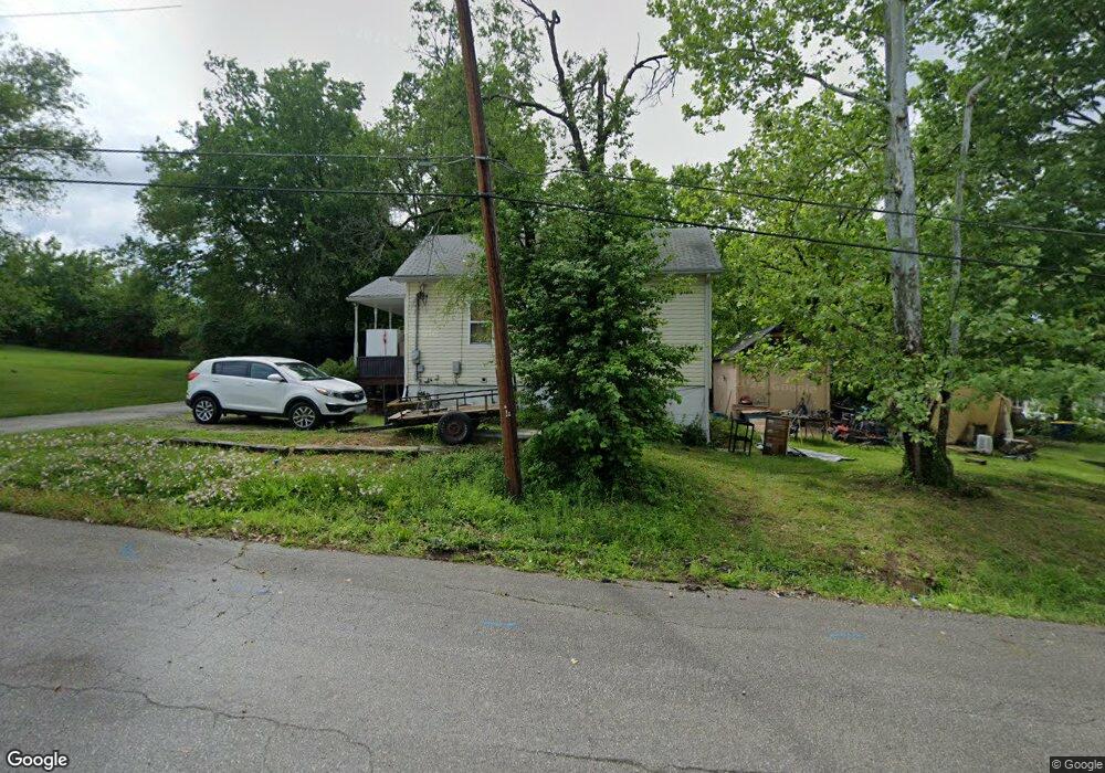
This home is located at 1211 N Oak St, Union, MO 63084 and is currently estimated at $157,114, approximately $338 per square foot. 1211 N Oak St is a home located in Franklin County with nearby schools including Union High School and Immaculate Conception School.
Ownership History
Date
Name
Owned For
Owner Type
Purchase Details
Closed on
Apr 13, 2007
Sold by
Federal Home Loan
Bought by
Nolting Noah
Current Estimated Value
Home Financials for this Owner
Home Financials are based on the most recent Mortgage that was taken out on this home.
Original Mortgage
$65,300
Interest Rate
6.17%
Mortgage Type
New Conventional
Purchase Details
Closed on
Oct 3, 2006
Sold by
Millsap Millsap and Millsap Singer P
Bought by
Federal Home Loan Mortgage Corporation
Purchase Details
Closed on
May 10, 2005
Sold by
Harrison William C and Harrison Dorothia J
Bought by
Reynolds Steven J
Home Financials for this Owner
Home Financials are based on the most recent Mortgage that was taken out on this home.
Original Mortgage
$82,500
Interest Rate
6.06%
Mortgage Type
New Conventional
Create a Home Valuation Report for This Property
The Home Valuation Report is an in-depth analysis detailing your home's value as well as a comparison with similar homes in the area
Home Values in the Area
Average Home Value in this Area
Purchase History
We collect this data history from publicly available records. To have your information removed, we recommend requesting removal directly through your county’s website.
| Date | Buyer | Sale Price | Title Company |
|---|---|---|---|
| Nolting Noah | $65,900 | None Available | |
| Federal Home Loan Mortgage Corporation | $88,022 | None Available | |
| Reynolds Steven J | -- | None Available |
Source: Public Records
Mortgage History
We collect this data history from publicly available records. To have your information removed, we recommend requesting removal directly through your county’s website.
| Date | Status | Borrower | Loan Amount |
|---|---|---|---|
| Previous Owner | Nolting Noah | $65,300 | |
| Previous Owner | Reynolds Steven J | $82,500 |
Source: Public Records
Tax History
| Year | Tax Paid | Tax Assessment Tax Assessment Total Assessment is a certain percentage of the fair market value that is determined by local assessors to be the total taxable value of land and additions on the property. | Land | Improvement |
|---|---|---|---|---|
| 2025 | $781 | $13,103 | $0 | $0 |
| 2024 | $781 | $12,976 | $0 | $0 |
| 2023 | $782 | $12,976 | $0 | $0 |
| 2022 | $687 | $11,382 | $0 | $0 |
| 2021 | $688 | $11,382 | $0 | $0 |
| 2020 | $623 | $10,133 | $0 | $0 |
| 2019 | $621 | $10,133 | $0 | $0 |
| 2018 | $554 | $9,476 | $0 | $0 |
| 2017 | $555 | $9,476 | $0 | $0 |
| 2016 | $567 | $9,461 | $0 | $0 |
| 2015 | $558 | $9,461 | $0 | $0 |
| 2014 | $564 | $9,556 | $0 | $0 |
Source: Public Records
Map
Nearby Homes
- 1008 N Washington Ave
- 435 Eve Estates Dr
- 510 Robin St
- 1157 Rock Rd
- 609 W Roosevelt Ave
- 514 E State St
- N Highway 47 E State Highway 47
- 1122 Old County Farm Rd
- 613 W State St
- Lot 2 E State Highway 47
- Lot 1 E State Highway 47
- 300 Bourbeuse Rd
- 000 Mo-V
- 914 W State St
- 410 S Oak St
- 409 Hawthorne Dr
- 412 Macarthur Ave
- 413 Rosedale Ave
- 613 S Jefferson Ave
- 0 Heard Ct
- 213 Grandview Ave
- 223 Grandview Ave
- 206 Vondera Ave
- 211 Grandview Ave
- 301 Grandview Ave
- 201 Grandview Ave
- 218 Grandview Ave
- 204 Vondera Ave
- 224 Grandview Ave
- 214 Grandview Ave
- 300 Grandview Ave
- 1210 N Oak St
- 200 Grandview Ave
- 309 Grandview Ave
- 5acres Grandview Ave
- 412 Vondera Ave
- 200 Vondera Ave
- 207 Vondera Ave
- 304 Grandview Ave
- 311 Grandview Ave
Your Personal Tour Guide
Ask me questions while you tour the home.