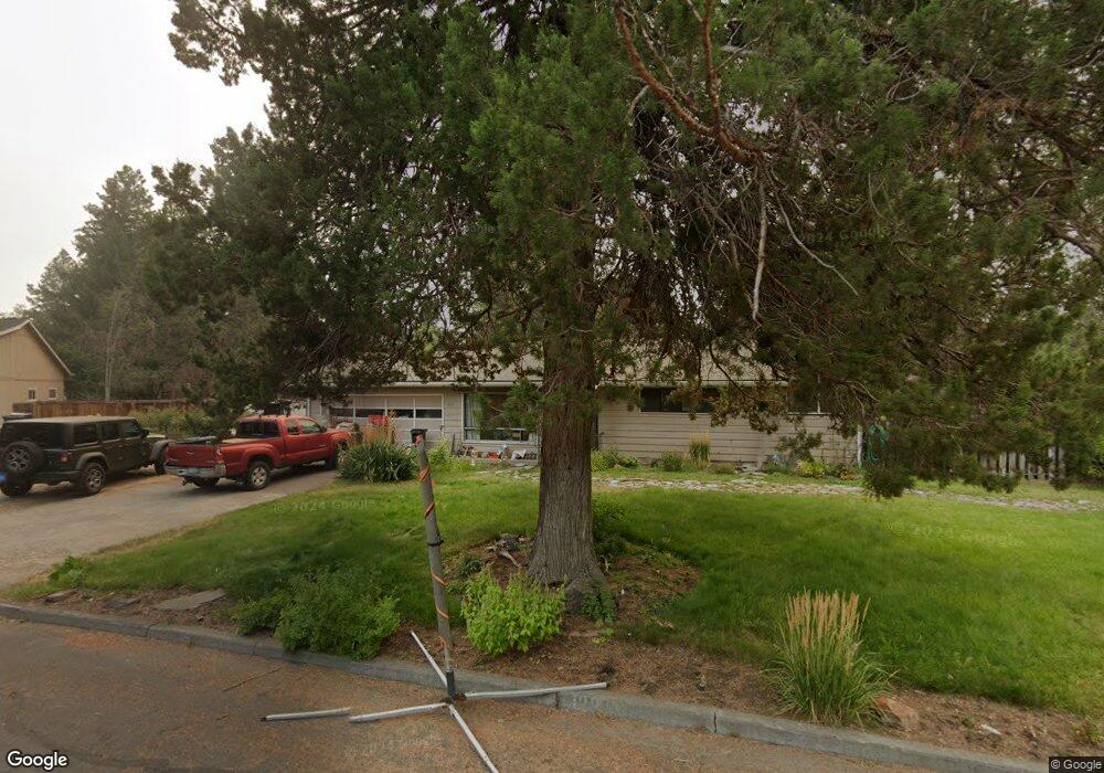
1211 NE Alden Ave Bend, OR 97701
Larkspur NeighborhoodEstimated Value: $523,024 - $596,000
3
Beds
1
Bath
1,184
Sq Ft
$466/Sq Ft
Est. Value
About This Home
This home is located at 1211 NE Alden Ave, Bend, OR 97701 and is currently estimated at $552,006, approximately $466 per square foot. 1211 NE Alden Ave is a home located in Deschutes County with nearby schools including Bear Creek Elementary School, Pilot Butte Middle School, and Bend Senior High School.
Ownership History
Date
Name
Owned For
Owner Type
Purchase Details
Closed on
Oct 5, 2005
Sold by
Gertsch Loretta H and Anderson Loretta H
Bought by
Gertsch Loretta H
Current Estimated Value
Home Financials for this Owner
Home Financials are based on the most recent Mortgage that was taken out on this home.
Original Mortgage
$180,000
Interest Rate
5.63%
Mortgage Type
New Conventional
Create a Home Valuation Report for This Property
The Home Valuation Report is an in-depth analysis detailing your home's value as well as a comparison with similar homes in the area
Home Values in the Area
Average Home Value in this Area
Purchase History
| Date | Buyer | Sale Price | Title Company |
|---|---|---|---|
| Gertsch Loretta H | -- | Deschutes County Title Co |
Source: Public Records
Mortgage History
| Date | Status | Borrower | Loan Amount |
|---|---|---|---|
| Closed | Gertsch Loretta H | $180,000 |
Source: Public Records
Tax History
| Year | Tax Paid | Tax Assessment Tax Assessment Total Assessment is a certain percentage of the fair market value that is determined by local assessors to be the total taxable value of land and additions on the property. | Land | Improvement |
|---|---|---|---|---|
| 2025 | $2,739 | $162,130 | -- | -- |
| 2024 | $2,636 | $157,410 | -- | -- |
| 2023 | $2,443 | $152,830 | $0 | $0 |
| 2022 | $2,280 | $144,060 | $0 | $0 |
| 2021 | $2,283 | $139,870 | $0 | $0 |
| 2020 | $2,166 | $139,870 | $0 | $0 |
| 2019 | $2,106 | $135,800 | $0 | $0 |
| 2018 | $2,046 | $131,850 | $0 | $0 |
| 2017 | $1,986 | $128,010 | $0 | $0 |
| 2016 | $1,894 | $124,290 | $0 | $0 |
| 2015 | $1,842 | $120,670 | $0 | $0 |
| 2014 | $1,788 | $117,160 | $0 | $0 |
Source: Public Records
Map
Nearby Homes
- 1363 NE Bear Creek Rd
- 438 NE 9th St
- 1540 NE Bear Creek Rd
- 775 NE Franklin Ave
- 1649 NE Lesley Place
- 530 SE Centennial St Unit 524,526,528,530
- 924 NE 9th St
- 1630 SE Tempest Dr Unit 6
- 365 SE 5th St
- 350 SE Silvis Ln
- 513 NE Irving Ave
- 1119 NE 9th St
- 649 NE Kearney Ave
- 429 NE Irving Ave
- 1449 SE Lostine Cir
- 225 SE Urania Ln
- 908 SE Stratford Ct
- 225 SE Vine Ln
- 1001 SE 15th St Unit 88
- 1001 SE 15th St Unit 39
- 1126 NE Burnside Ave
- 1235 NE Alden Ave
- 1149 NE Burnside Ave
- 1111 NE Burnside Ave
- 1055 NE Bear Creek Rd
- 1206 NE Burnside Ave
- 1037 NE Bear Creek Rd
- 1209 NE Burnside Ave
- 1222 NE Burnside Ave
- 1211 NE Bear Creek Rd
- 1223 NE Burnside Ave
- 32 NE 10th St
- 1231 NE Bear Creek Rd
- 1238 NE Burnside Ave
- 1017 NE Bear Creek Rd
- 1237 NE Burnside Ave
- 1007 NE Bear Creek Rd
- 1265 NE Bear Creek Rd
- 1255 NE Burnside Ave
- 1262 NE Burnside Ave Unit 2
Your Personal Tour Guide
Ask me questions while you tour the home.