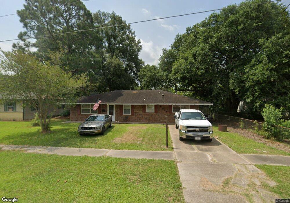
1211 Phillip Ave Eunice, LA 70535
Estimated Value: $130,543 - $160,000
Studio
--
Bath
--
Sq Ft
7,797
Sq Ft Lot
About This Home
This home is located at 1211 Phillip Ave, Eunice, LA 70535 and is currently estimated at $146,636. 1211 Phillip Ave is a home located in St. Landry Parish with nearby schools including Eunice Elementary School, Eunice Junior High School, and Central Middle School.
Ownership History
Date
Name
Owned For
Owner Type
Purchase Details
Closed on
Aug 25, 2008
Sold by
Young Reginald James
Bought by
Faul Kevin Joseph
Current Estimated Value
Purchase Details
Closed on
Oct 28, 2005
Sold by
Oliver Ronald Paige and Oliver Deborah Fontenot
Bought by
Faul Kevin Joseph and Faul Kimberly Ches' Andrepont
Home Financials for this Owner
Home Financials are based on the most recent Mortgage that was taken out on this home.
Original Mortgage
$72,000
Interest Rate
5.73%
Mortgage Type
Purchase Money Mortgage
Create a Home Valuation Report for This Property
The Home Valuation Report is an in-depth analysis detailing your home's value as well as a comparison with similar homes in the area
Purchase History
| Date | Buyer | Sale Price | Title Company |
|---|---|---|---|
| Faul Kevin Joseph | $10,500 | -- | |
| Faul Kevin Joseph | $72,000 | -- |
Source: Public Records
Mortgage History
| Date | Status | Borrower | Loan Amount |
|---|---|---|---|
| Previous Owner | Faul Kevin Joseph | $72,000 |
Source: Public Records
Tax History
| Year | Tax Paid | Tax Assessment Tax Assessment Total Assessment is a certain percentage of the fair market value that is determined by local assessors to be the total taxable value of land and additions on the property. | Land | Improvement |
|---|---|---|---|---|
| 2024 | $5 | $11,780 | $1,640 | $10,140 |
| 2023 | $238 | $10,940 | $1,640 | $9,300 |
| 2022 | $476 | $10,940 | $1,640 | $9,300 |
| 2021 | $476 | $10,940 | $1,640 | $9,300 |
| 2020 | $470 | $10,940 | $1,640 | $9,300 |
| 2019 | $435 | $9,980 | $1,210 | $8,770 |
| 2018 | $435 | $9,980 | $1,210 | $8,770 |
| 2017 | $435 | $9,980 | $1,210 | $8,770 |
| 2015 | $384 | $8,880 | $1,200 | $7,680 |
| 2013 | $384 | $8,880 | $1,200 | $7,680 |
Source: Public Records
Map
Nearby Homes
- 1230 Phillip Ave
- 0 W Maple Ave
- 221 College Rd
- 1410 W Elm St
- 1311 Bruce Ave
- 1240 B and B Ave
- 1350 College Rd
- 1480 W Oak Ave
- 200 Thayer Ave
- 201 S 9th St
- 530 S 4th St
- 650 W Walnut Ave
- 121 N 9th St
- 1820 Betty St
- 300 Boudreaux St
- 151 Dulles St
- 1440 W Peach Ave
- 231 Eula St
- 99 University Place
- 1701 W Peach Ave
- 1201 Phillip Ave
- 1200 Phillip Ave
- 1221 Phillip Ave
- 1210 Phillip Ave
- 200 Juanita St
- 150 Juanita St
- 1210 Gregg Ave
- 1200 Gregg Ave
- 210 Juanita St
- 140 Juanita St
- 1240 Gregg Ave
- 130 Juanita St
- 230 Juanita St
- 1250 Phillip Ave
- 1201 Gregg Ave
- 1221 W Maple Ave
- 1201 W Maple Ave
- 1261 Phillip Ave
- 1211 Gregg Ave
- 1221 Gregg Ave
Your Personal Tour Guide
Ask me questions while you tour the home.