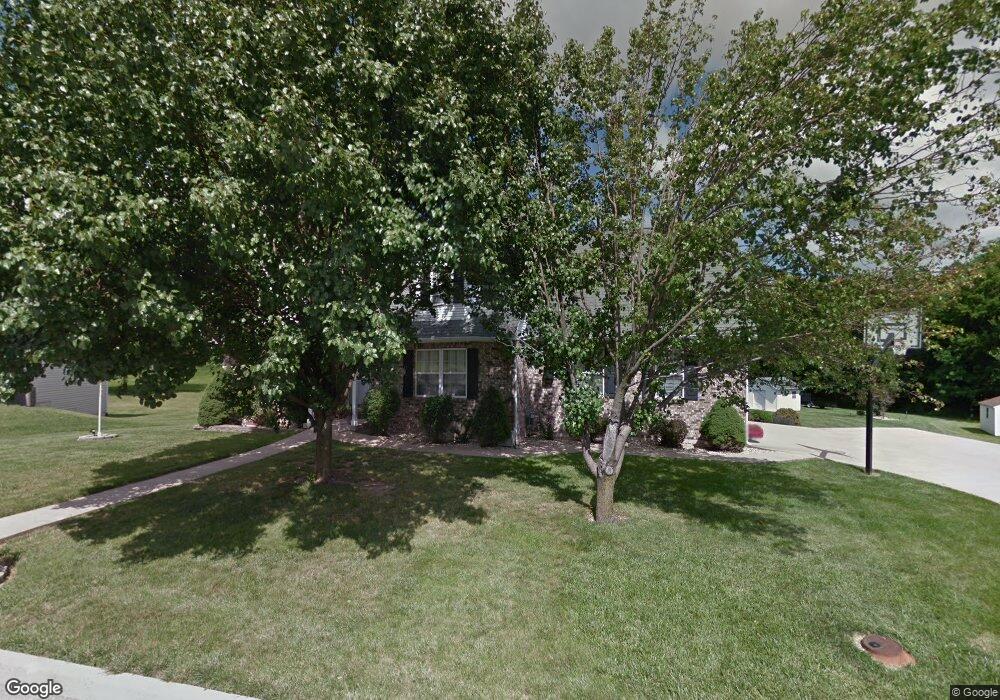
1211 Quail Haven Dr Moberly, MO 65270
Estimated Value: $280,000 - $384,000
3
Beds
4
Baths
2,892
Sq Ft
$118/Sq Ft
Est. Value
About This Home
This home is located at 1211 Quail Haven Dr, Moberly, MO 65270 and is currently estimated at $341,618, approximately $118 per square foot. 1211 Quail Haven Dr is a home located in Randolph County with nearby schools including Moberly Senior High School, Maranatha Seventh-day Adventist School, and Terrill Road Christian Academy.
Ownership History
Date
Name
Owned For
Owner Type
Purchase Details
Closed on
May 4, 2020
Sold by
Scott Amanda K and Scott Wesley
Bought by
Scott Amanda K and Scott Wesley
Current Estimated Value
Home Financials for this Owner
Home Financials are based on the most recent Mortgage that was taken out on this home.
Original Mortgage
$181,600
Outstanding Balance
$127,025
Interest Rate
3.3%
Mortgage Type
New Conventional
Estimated Equity
$214,593
Create a Home Valuation Report for This Property
The Home Valuation Report is an in-depth analysis detailing your home's value as well as a comparison with similar homes in the area
Home Values in the Area
Average Home Value in this Area
Purchase History
| Date | Buyer | Sale Price | Title Company |
|---|---|---|---|
| Scott Amanda K | -- | None Available |
Source: Public Records
Mortgage History
| Date | Status | Borrower | Loan Amount |
|---|---|---|---|
| Open | Scott Amanda K | $181,600 |
Source: Public Records
Tax History Compared to Growth
Tax History
| Year | Tax Paid | Tax Assessment Tax Assessment Total Assessment is a certain percentage of the fair market value that is determined by local assessors to be the total taxable value of land and additions on the property. | Land | Improvement |
|---|---|---|---|---|
| 2025 | $3,197 | $48,140 | $6,550 | $41,590 |
| 2024 | $3,197 | $43,900 | $5,700 | $38,200 |
| 2023 | $3,246 | $43,900 | $5,700 | $38,200 |
| 2022 | $3,048 | $42,320 | $5,699 | $36,621 |
| 2021 | $3,065 | $42,320 | $5,699 | $36,621 |
| 2020 | $3,065 | $42,590 | $5,700 | $36,890 |
| 2019 | $3,058 | $42,590 | $5,700 | $36,890 |
| 2018 | $3,049 | $42,600 | $5,700 | $36,900 |
| 2017 | $3,044 | $42,600 | $0 | $0 |
| 2016 | $2,869 | $40,380 | $0 | $0 |
| 2014 | -- | $38,340 | $0 | $0 |
| 2013 | -- | $38,340 | $0 | $0 |
| 2012 | -- | $38,480 | $0 | $0 |
Source: Public Records
Map
Nearby Homes
- 1216 Shepherds Dr
- 319 Halleck St
- 1365 Lantern Pointe Dr
- 208 Wisdom St
- 1000 S Williams St
- 509 Cleveland Ave
- 1410 Hulen Dr
- 606 Weintz St
- 411 Shumate Ave
- 718 E Logan St
- 417 W Longview St
- 432 W Longview St
- 517 S Clark St
- 428 Woodland Ave
- 700 S 5th St
- 602 Gilman St
- 608 Gilman St
- 315 W Urbandale Dr
- 419 S 4th St
- 713 Homestead Dr
- 1207 Quail Haven Dr
- 1203 Quail Haven Dr
- 1219 Quail Haven Dr
- 1218 Quail Haven Dr
- 1206 Quail Haven Dr
- 1204 Woodridge Ln
- 1225 Quail Haven Dr
- 1205 Woodridge Ln
- 715 Covey Ct
- 1303 Quail Haven Dr
- 1214 Woodridge Ln
- 723 Covey Ct
- 1215 Woodridge Ln
- 1308 Quail Haven Dr
- 1311 Quail Haven Dr
- 714 Covey Ct
- 1223 Woodridge Ln
- 704 Fox Run
- 729 Covey Ct
- 708 Fox Run