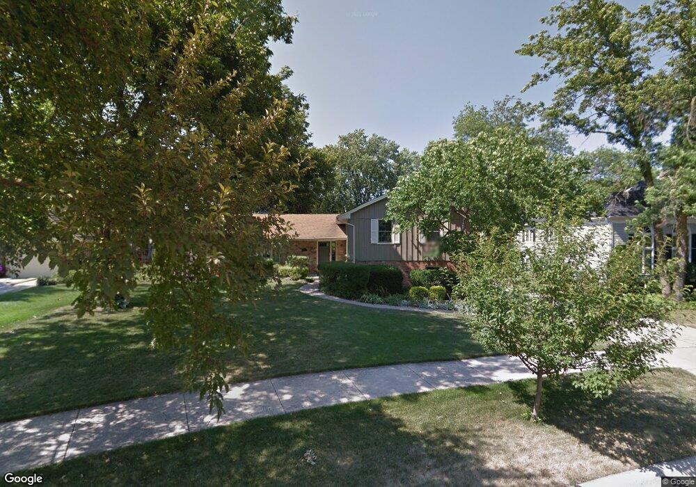
1211 Shady Ln Wheaton, IL 60187
Hawthorne NeighborhoodEstimated Value: $552,857 - $795,000
4
Beds
3
Baths
1,756
Sq Ft
$374/Sq Ft
Est. Value
About This Home
This home is located at 1211 Shady Ln, Wheaton, IL 60187 and is currently estimated at $655,964, approximately $373 per square foot. 1211 Shady Ln is a home located in DuPage County with nearby schools including Washington Elementary School, Franklin Middle School, and Wheaton North High School.
Ownership History
Date
Name
Owned For
Owner Type
Purchase Details
Closed on
May 28, 1999
Sold by
Martenson Scott D and Martenson Anne E
Bought by
Dansdill James J and Dansdill Susan B
Current Estimated Value
Home Financials for this Owner
Home Financials are based on the most recent Mortgage that was taken out on this home.
Original Mortgage
$244,500
Outstanding Balance
$65,014
Interest Rate
7.15%
Mortgage Type
Stand Alone First
Estimated Equity
$590,950
Create a Home Valuation Report for This Property
The Home Valuation Report is an in-depth analysis detailing your home's value as well as a comparison with similar homes in the area
Home Values in the Area
Average Home Value in this Area
Purchase History
| Date | Buyer | Sale Price | Title Company |
|---|---|---|---|
| Dansdill James J | $326,000 | -- |
Source: Public Records
Mortgage History
| Date | Status | Borrower | Loan Amount |
|---|---|---|---|
| Open | Dansdill James J | $244,500 |
Source: Public Records
Tax History
| Year | Tax Paid | Tax Assessment Tax Assessment Total Assessment is a certain percentage of the fair market value that is determined by local assessors to be the total taxable value of land and additions on the property. | Land | Improvement |
|---|---|---|---|---|
| 2024 | $10,616 | $172,715 | $38,393 | $134,322 |
| 2023 | $10,203 | $158,980 | $35,340 | $123,640 |
| 2022 | $9,990 | $150,250 | $33,400 | $116,850 |
| 2021 | $9,957 | $146,690 | $32,610 | $114,080 |
| 2020 | $9,927 | $145,330 | $32,310 | $113,020 |
| 2019 | $9,701 | $141,500 | $31,460 | $110,040 |
| 2018 | $9,222 | $133,330 | $29,640 | $103,690 |
| 2017 | $9,085 | $128,410 | $28,550 | $99,860 |
| 2016 | $8,964 | $123,280 | $27,410 | $95,870 |
| 2015 | $8,895 | $117,610 | $26,150 | $91,460 |
| 2014 | $8,619 | $112,300 | $23,370 | $88,930 |
| 2013 | $8,398 | $112,640 | $23,440 | $89,200 |
Source: Public Records
Map
Nearby Homes
- 817 E Forest Ave
- 1607 Stoddard Ave
- 720 E Harrison Ave
- 820 Cherry St
- 582 Glendale Ave
- 1603 Ashton Ct
- 412 Lawrence Ave
- 404 Lawrence Ave
- 1906 N Summit St
- 808 Bridle Ln
- 328 Lorraine St
- 2009 Mackenzie Place
- 488 Newton Ave
- 1017 Tartan Ct
- 123 S Blanchard St
- 314 E Jefferson Ave
- 110 Travers Ave
- 1902 N Washington St
- 312 E Lincoln Ave
- 305 Maple St
- 1185 Stoddard Ave
- 1217 Shady Ln
- 1206 E Prairie Ave
- 1212 E Prairie Ave
- 1223 Shady Ln
- 1202 E Prairie Ave
- 1220 E Prairie Ave
- 1260 Shady Ln
- 1160 Stoddard Ave
- 1300 E Prairie Ave
- 1155 Shady Ln
- 1302 Shady Ln
- 1120 E Prairie Ave
- 1307 Shady Ln
- 1141 Stoddard Ave
- 1308 E Prairie Ave
- 1140 Shady Ln
- 1207 E Prairie Ave
- 1115 Shady Ln
- 1213 E Prairie Ave
Your Personal Tour Guide
Ask me questions while you tour the home.