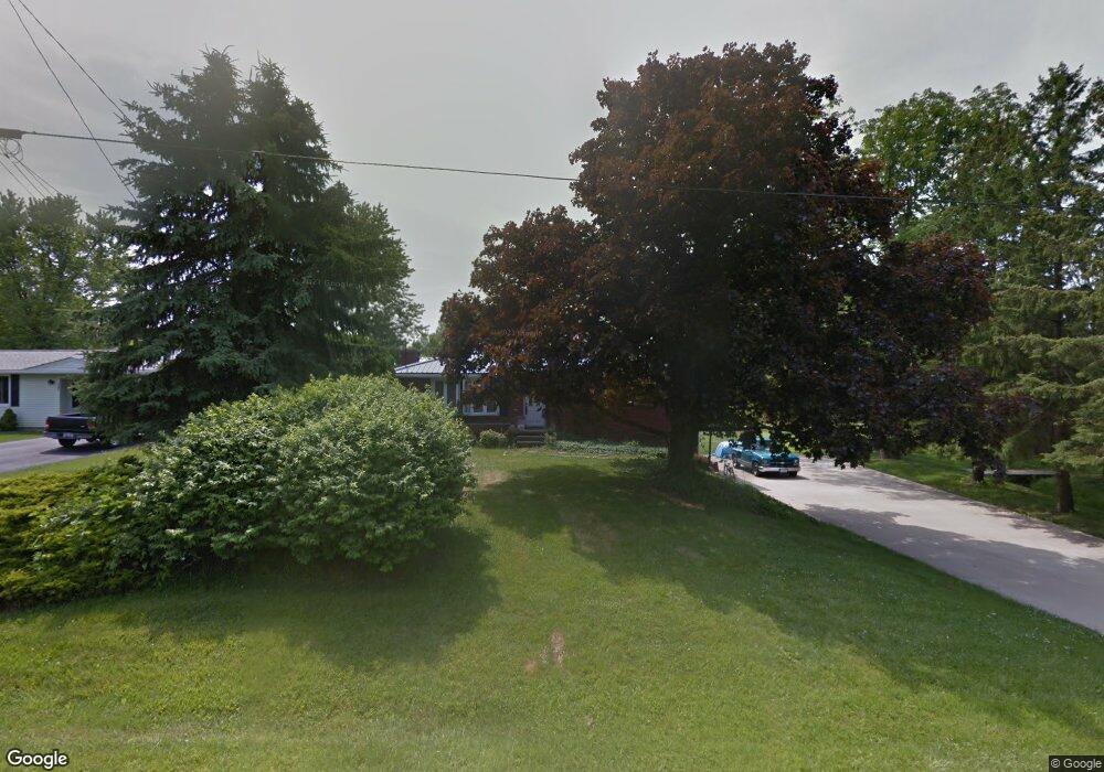
1211 Walcrest Dr Mansfield, OH 44903
Estimated Value: $175,000 - $195,000
3
Beds
2
Baths
1,232
Sq Ft
$154/Sq Ft
Est. Value
About This Home
This home is located at 1211 Walcrest Dr, Mansfield, OH 44903 and is currently estimated at $189,160, approximately $153 per square foot. 1211 Walcrest Dr is a home located in Richland County with nearby schools including Stingel Elementary School, Ontario Middle School, and Ontario High School.
Ownership History
Date
Name
Owned For
Owner Type
Purchase Details
Closed on
Sep 21, 2023
Sold by
Kanis Leslie E
Bought by
Martin Derrick and Martin Codi
Current Estimated Value
Purchase Details
Closed on
Jun 11, 2003
Sold by
Powers Harold Dean and Powers Shirley A
Bought by
Kanis Leslie E
Home Financials for this Owner
Home Financials are based on the most recent Mortgage that was taken out on this home.
Original Mortgage
$99,450
Interest Rate
5.78%
Mortgage Type
Purchase Money Mortgage
Create a Home Valuation Report for This Property
The Home Valuation Report is an in-depth analysis detailing your home's value as well as a comparison with similar homes in the area
Home Values in the Area
Average Home Value in this Area
Purchase History
| Date | Buyer | Sale Price | Title Company |
|---|---|---|---|
| Martin Derrick | $100,000 | None Listed On Document | |
| Kanis Leslie E | $117,000 | Lawyers Title |
Source: Public Records
Mortgage History
| Date | Status | Borrower | Loan Amount |
|---|---|---|---|
| Previous Owner | Kanis Leslie E | $99,450 |
Source: Public Records
Tax History
| Year | Tax Paid | Tax Assessment Tax Assessment Total Assessment is a certain percentage of the fair market value that is determined by local assessors to be the total taxable value of land and additions on the property. | Land | Improvement |
|---|---|---|---|---|
| 2024 | $2,261 | $45,470 | $10,870 | $34,600 |
| 2023 | $2,335 | $45,470 | $10,870 | $34,600 |
| 2022 | $2,048 | $34,600 | $7,850 | $26,750 |
| 2021 | $2,051 | $34,600 | $7,850 | $26,750 |
| 2020 | $2,187 | $34,600 | $7,850 | $26,750 |
| 2019 | $2,035 | $29,330 | $6,650 | $22,680 |
| 2018 | $1,738 | $29,330 | $6,650 | $22,680 |
| 2017 | $1,718 | $29,330 | $6,650 | $22,680 |
| 2016 | $1,726 | $29,410 | $6,450 | $22,960 |
| 2015 | $1,726 | $29,410 | $6,450 | $22,960 |
| 2014 | $1,723 | $29,410 | $6,450 | $22,960 |
| 2012 | $808 | $30,320 | $6,650 | $23,670 |
Source: Public Records
Map
Nearby Homes
- 3872 Snodgrass Rd
- 1689 Ohio 314
- 3767 Cookton Grange Rd
- 0 Rudy Rd
- 2990 Hemlock Place
- 15 Lexington Ontario Rd
- 3880 Horizon Dr
- 5263 Lincoln Hwy
- 3308 Park Ave W
- 0 Rock Rd
- 3320 Oakstone Dr
- 3458 Ridgestone Dr
- 5446 Lincoln Hwy
- 3516 Muirfield
- 3516 Muirfield Dr
- 4822 Flowers Rd
- 1260 Thrush Rd
- 683 Yeager Dr
- 2583 Deerfield Ln
- 1111 Bogey Dr
- 1201 Walcrest Dr
- 1191 Walcrest Dr
- 1231 Walcrest Dr
- 1212 Walcrest Dr
- 1222 Walcrest Dr
- 1192 Walcrest Dr
- 1181 Walcrest Dr
- 1241 Walcrest Dr
- 1232 Walcrest Dr
- 1182 Walcrest Dr
- 1171 Walcrest Dr
- 1251 Walcrest Dr
- 1172 Walcrest Dr
- 1252 Walcrest Dr
- 1261 Walcrest Dr
- 4110 Snodgrass Rd
- 1262 Walcrest Dr
- 4120 Snodgrass Rd
- 4138 Snodgrass Rd
- 1271 Walcrest Dr
Your Personal Tour Guide
Ask me questions while you tour the home.