1211 Whitshire Way Unit 1211 Alpharetta, GA 30004
Estimated Value: $262,000 - $284,000
1
Bed
1
Bath
941
Sq Ft
$291/Sq Ft
Est. Value
About This Home
This home is located at 1211 Whitshire Way Unit 1211, Alpharetta, GA 30004 and is currently estimated at $273,800, approximately $290 per square foot. 1211 Whitshire Way Unit 1211 is a home located in Fulton County with nearby schools including Manning Oaks Elementary School, Hopewell Middle School, and Alpharetta High School.
Ownership History
Date
Name
Owned For
Owner Type
Purchase Details
Closed on
Jul 11, 2000
Sold by
Villages Of Devinshire Llc
Bought by
Ferguson T S Joy
Current Estimated Value
Home Financials for this Owner
Home Financials are based on the most recent Mortgage that was taken out on this home.
Original Mortgage
$94,720
Outstanding Balance
$34,062
Interest Rate
8.3%
Mortgage Type
New Conventional
Estimated Equity
$239,738
Create a Home Valuation Report for This Property
The Home Valuation Report is an in-depth analysis detailing your home's value as well as a comparison with similar homes in the area
Home Values in the Area
Average Home Value in this Area
Purchase History
| Date | Buyer | Sale Price | Title Company |
|---|---|---|---|
| Ferguson T S Joy | $118,400 | -- |
Source: Public Records
Mortgage History
| Date | Status | Borrower | Loan Amount |
|---|---|---|---|
| Open | Ferguson T S Joy | $94,720 | |
| Closed | Ferguson T S Joy | $11,840 |
Source: Public Records
Tax History Compared to Growth
Tax History
| Year | Tax Paid | Tax Assessment Tax Assessment Total Assessment is a certain percentage of the fair market value that is determined by local assessors to be the total taxable value of land and additions on the property. | Land | Improvement |
|---|---|---|---|---|
| 2025 | $486 | $101,160 | $12,040 | $89,120 |
| 2023 | $2,320 | $82,200 | $11,600 | $70,600 |
| 2022 | $1,774 | $67,440 | $10,080 | $57,360 |
| 2021 | $1,620 | $59,720 | $11,000 | $48,720 |
| 2020 | $1,494 | $53,760 | $7,880 | $45,880 |
| 2019 | $290 | $54,600 | $6,320 | $48,280 |
| 2018 | $1,361 | $48,200 | $12,080 | $36,120 |
| 2017 | $1,073 | $36,760 | $4,800 | $31,960 |
| 2016 | $1,073 | $36,760 | $4,800 | $31,960 |
| 2015 | $1,251 | $36,760 | $4,800 | $31,960 |
| 2014 | $948 | $30,920 | $5,680 | $25,240 |
Source: Public Records
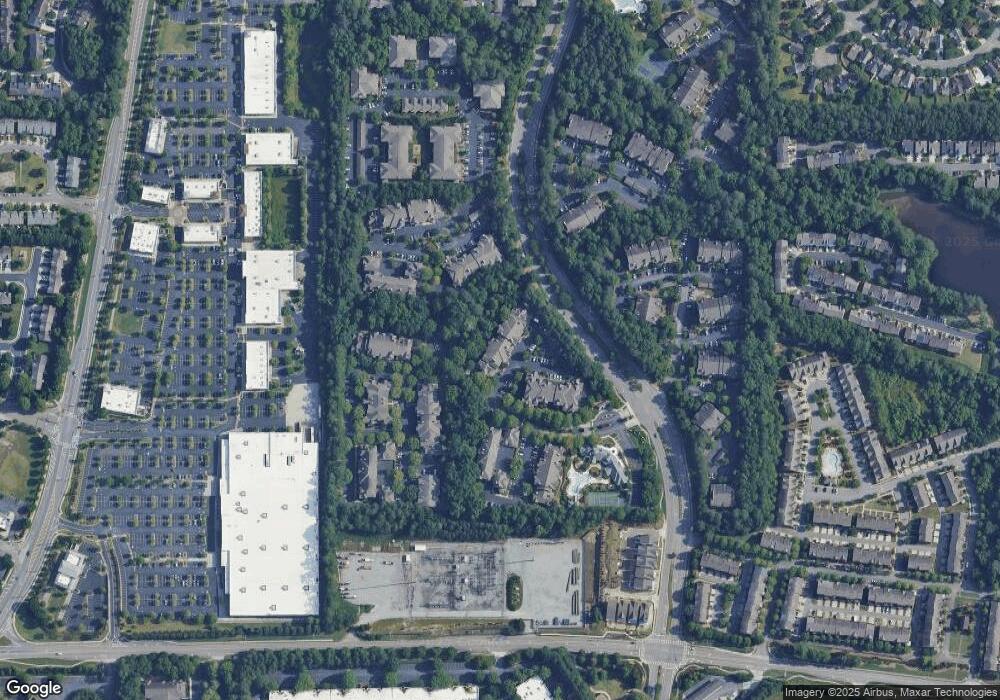
Map
Nearby Homes
- 834 Sandringham Dr
- 232 Edinburgh Ct
- 933 Sandringham Dr
- 916 Sandringham Dr
- 422 Pembrooke Cir Unit 422
- 3301 Lathenview Ct
- 3313 Twinrose Place
- 3196 Buck Way Unit 213
- 3184 Buck Way
- 650 Chantress Ct
- 13237 Aventide Ln
- 840 Camelon Ct
- 13300 Morris Rd Unit 121
- 13300 Morris Rd Unit 4
- 13300 Morris Rd Unit 89
- 3533 Peacock Rd
- 3221 Serenade Ct
- 3070 Serenade Ct
- 3309 Bethany Bend
- 1095 S Bethany Creek Dr
- 515 Sandringham Dr
- 1136 Whitshire Way Unit 426
- 624 Sandringham Dr
- 3311 Pembroke Cir Unit 3311
- 3310 Pembroke Cir Unit 3310
- 1218 Whitshire Way
- 1217 Whitshire Way
- 1216 Whitshire Way
- 1215 Whitshire Way
- 1137 Whitshire Way Unit 1137
- 1136 Whitshire Way
- 1135 Whitshire Way
- 1134 Whitshire Way
- 1127 Whitshire Way Unit 1127
- 1126 Whitshire Way
- 1125 Whitshire Way
- 1124 Whitshire Way
- 1122 Whitshire Way Unit 1122
- 1117 Whitshire Way Unit 1117
- 1115 Whitshire Way Unit 1115