12110 Knoll Rd Northport, AL 35475
Estimated Value: $191,967 - $266,000
3
Beds
1
Bath
1,475
Sq Ft
$161/Sq Ft
Est. Value
About This Home
This home is located at 12110 Knoll Rd, Northport, AL 35475 and is currently estimated at $237,742, approximately $161 per square foot. 12110 Knoll Rd is a home located in Tuscaloosa County with nearby schools including Huntington Place Elementary School, Echols Middle School, and Tuscaloosa County High School.
Ownership History
Date
Name
Owned For
Owner Type
Purchase Details
Closed on
Apr 30, 2008
Sold by
Fnma
Bought by
Brooks Anita
Current Estimated Value
Home Financials for this Owner
Home Financials are based on the most recent Mortgage that was taken out on this home.
Original Mortgage
$45,100
Interest Rate
5.33%
Purchase Details
Closed on
Feb 14, 2008
Sold by
Blagburn Christopher D Et
Bought by
Federal National Mortgage Association
Create a Home Valuation Report for This Property
The Home Valuation Report is an in-depth analysis detailing your home's value as well as a comparison with similar homes in the area
Home Values in the Area
Average Home Value in this Area
Purchase History
| Date | Buyer | Sale Price | Title Company |
|---|---|---|---|
| Brooks Anita | $85,100 | -- | |
| Federal National Mortgage Association | $99,813 | -- |
Source: Public Records
Mortgage History
| Date | Status | Borrower | Loan Amount |
|---|---|---|---|
| Closed | Federal National Mortgage Association | $45,100 |
Source: Public Records
Tax History Compared to Growth
Tax History
| Year | Tax Paid | Tax Assessment Tax Assessment Total Assessment is a certain percentage of the fair market value that is determined by local assessors to be the total taxable value of land and additions on the property. | Land | Improvement |
|---|---|---|---|---|
| 2024 | $519 | $19,220 | $2,340 | $16,880 |
| 2023 | $519 | $19,220 | $2,340 | $16,880 |
| 2022 | $519 | $19,220 | $2,340 | $16,880 |
| 2021 | $519 | $19,220 | $2,340 | $16,880 |
| 2020 | $488 | $18,080 | $2,340 | $15,740 |
| 2019 | $509 | $18,840 | $2,340 | $16,500 |
| 2018 | $509 | $18,840 | $2,340 | $16,500 |
| 2017 | $454 | $0 | $0 | $0 |
| 2016 | $422 | $0 | $0 | $0 |
| 2015 | $422 | $0 | $0 | $0 |
| 2014 | $422 | $15,640 | $2,340 | $13,300 |
Source: Public Records
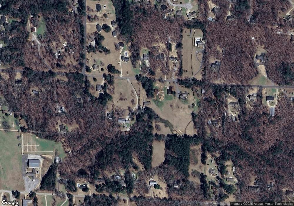
Map
Nearby Homes
- 000 Frank Lary Rd
- 0 Frank Lary Rd Unit 169714
- 13711 Elderberry Ln
- 13602 Cranberry Dr
- 13600 Date St
- 13563 Date St
- 12012 Arlington Ave
- 12370 Huntington Village Dr
- 11696 Elam Ln
- 14348 Frank Lary Rd
- 11504 Forest Glen Blvd
- 12539 Willow View Cir
- 4712 Madison Cir
- 12674 Windword Pointe Dr
- 13871 Sullivan Blvd
- 4702 Revere Way
- 13883 Sullivan Blvd
- 13822 Margaret Way
- 11304 Saint James Ct
- 4206 Revere Way
- 12056 Knoll Rd
- 12100 Knoll Rd
- 12042 Knoll Rd
- 12094 Knoll Rd
- 12083 Knoll Rd
- 12069 Knoll Rd
- 12095 Knoll Rd
- 12122 Knoll Rd
- 12055 Knoll Rd
- 13957 Valley Rd
- 12132 Knoll Rd
- 11988 Knollwood Rd
- 12073 Graceland Rd
- 11991 Knollwood Rd
- 12041 Knoll Rd
- 12051 Graceland Rd
- 13973 Valley Rd
- 12091 Graceland Rd
- 13846 Red Clay Dr
- 12162 Knoll Rd