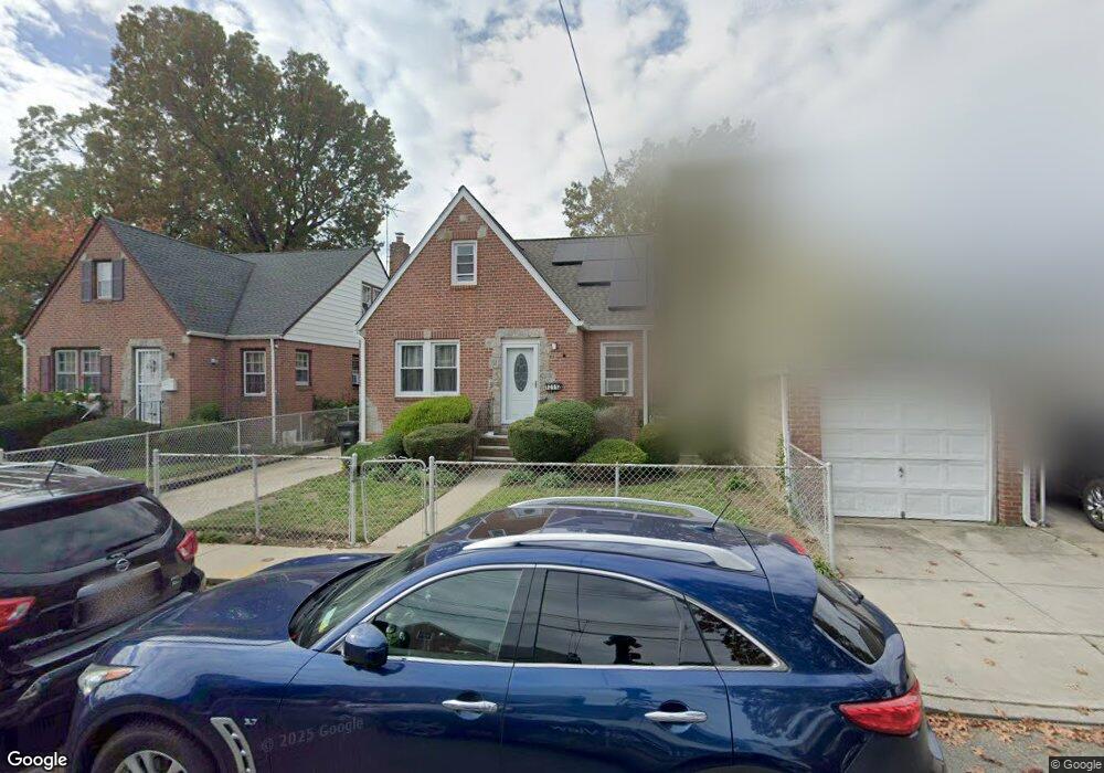
12112 Benton St Springfield Gardens, NY 11413
Saint Albans NeighborhoodEstimated Value: $719,000 - $818,000
--
Bed
--
Bath
1,414
Sq Ft
$541/Sq Ft
Est. Value
About This Home
This home is located at 12112 Benton St, Springfield Gardens, NY 11413 and is currently estimated at $765,613, approximately $541 per square foot. 12112 Benton St is a home located in Queens County with nearby schools including P.S. 15 Jackie Robinson, Is 59 Springfield Gardens, and Success Academy Springfield Gardens.
Ownership History
Date
Name
Owned For
Owner Type
Purchase Details
Closed on
Jul 25, 2006
Sold by
Martin Davina R
Bought by
Hunter Glenroy Solomon
Current Estimated Value
Home Financials for this Owner
Home Financials are based on the most recent Mortgage that was taken out on this home.
Original Mortgage
$381,600
Outstanding Balance
$228,418
Interest Rate
6.8%
Mortgage Type
Purchase Money Mortgage
Estimated Equity
$537,195
Create a Home Valuation Report for This Property
The Home Valuation Report is an in-depth analysis detailing your home's value as well as a comparison with similar homes in the area
Home Values in the Area
Average Home Value in this Area
Purchase History
| Date | Buyer | Sale Price | Title Company |
|---|---|---|---|
| Hunter Glenroy Solomon | $477,000 | -- |
Source: Public Records
Mortgage History
| Date | Status | Borrower | Loan Amount |
|---|---|---|---|
| Open | Hunter Glenroy Solomon | $381,600 | |
| Closed | Hunter Glenroy Solomon | $95,400 |
Source: Public Records
Tax History Compared to Growth
Tax History
| Year | Tax Paid | Tax Assessment Tax Assessment Total Assessment is a certain percentage of the fair market value that is determined by local assessors to be the total taxable value of land and additions on the property. | Land | Improvement |
|---|---|---|---|---|
| 2025 | $6,197 | $31,622 | $9,585 | $22,037 |
| 2024 | $3,741 | $30,854 | $10,183 | $20,671 |
| 2023 | $5,997 | $29,860 | $10,460 | $19,400 |
| 2022 | $5,911 | $39,900 | $14,040 | $25,860 |
| 2021 | $5,878 | $37,560 | $14,040 | $23,520 |
| 2020 | $5,578 | $32,280 | $14,040 | $18,240 |
| 2019 | $5,379 | $29,400 | $14,040 | $15,360 |
| 2018 | $5,072 | $24,883 | $13,830 | $11,053 |
| 2017 | $5,030 | $24,673 | $13,812 | $10,861 |
| 2016 | $4,653 | $24,673 | $13,812 | $10,861 |
| 2015 | $2,831 | $21,960 | $15,600 | $6,360 |
| 2014 | $2,831 | $21,427 | $13,790 | $7,637 |
Source: Public Records
Map
Nearby Homes
- 12133 Grayson St
- 19009 122nd Ave
- 191-07 121st Ave
- 191-01 122nd Ave
- 188-51 120th Rd
- 120-44 192nd St
- 12248 Benton St
- 12251 Grayson St
- 12253 Milburn St
- 18806 Nashville Blvd
- 122-22 Nellis St
- 12054 194th St
- 19115 Williamson Ave
- 12244 Nellis St
- 120-20 194th St
- 119-44 193rd St
- 12043 194th St
- 194-09 122nd Ave
- 192-17 Williamson Ave
- 122-66 Nellis St
- 12116 Benton St
- 18914 121st Ave
- 18918 121st Ave
- 18910 121st Ave
- 12135 Benton St
- 12111 Grayson St
- 18906 121st Ave
- 189-06 121st Ave
- 12117 Grayson St
- 121-25 Grayson St
- 121-21 Grayson St
- 18906 121st Ave
- 19002 121st Ave
- 12124 Benton St
- 12121 Grayson St
- 12121 Grayson St
- 18902 121st Ave
- 12111 Benton St
- 19006 121st Ave
- 12115 Benton St