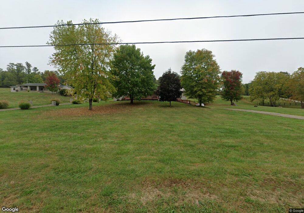
12112 State Route 690 Athens, OH 45701
Estimated Value: $184,583 - $325,000
4
Beds
2
Baths
1,999
Sq Ft
$123/Sq Ft
Est. Value
About This Home
This home is located at 12112 State Route 690, Athens, OH 45701 and is currently estimated at $246,646, approximately $123 per square foot. 12112 State Route 690 is a home located in Athens County with nearby schools including Amesville Elementary School, Coolville Elementary School, and Federal Hocking Middle School.
Ownership History
Date
Name
Owned For
Owner Type
Purchase Details
Closed on
Mar 8, 2025
Sold by
Tabler Elexus M
Bought by
Tabler Jason E
Current Estimated Value
Purchase Details
Closed on
Aug 25, 2022
Sold by
Eugene Tabler Jason
Bought by
Tabler Elexus M
Purchase Details
Closed on
Jun 1, 2018
Sold by
Tabler Jan M
Bought by
Tabler Jason E
Purchase Details
Closed on
May 26, 1998
Sold by
Hill Carolyn Sue
Bought by
Tabler Jan M
Purchase Details
Closed on
Sep 8, 1993
Bought by
Hill Carolyn Sue
Create a Home Valuation Report for This Property
The Home Valuation Report is an in-depth analysis detailing your home's value as well as a comparison with similar homes in the area
Home Values in the Area
Average Home Value in this Area
Purchase History
| Date | Buyer | Sale Price | Title Company |
|---|---|---|---|
| Tabler Jason E | -- | None Listed On Document | |
| Tabler Elexus M | $2,125 | Gerig Christian S | |
| Tabler Elexus M | $2,125 | Gerig Christian S | |
| Tabler Jason E | -- | None Available | |
| Tabler Jan M | $13,500 | -- | |
| Hill Carolyn Sue | $9,000 | -- |
Source: Public Records
Tax History Compared to Growth
Tax History
| Year | Tax Paid | Tax Assessment Tax Assessment Total Assessment is a certain percentage of the fair market value that is determined by local assessors to be the total taxable value of land and additions on the property. | Land | Improvement |
|---|---|---|---|---|
| 2024 | $3,143 | $44,970 | $7,280 | $37,690 |
| 2023 | $2,183 | $44,970 | $7,280 | $37,690 |
| 2022 | $2,286 | $44,970 | $7,280 | $37,690 |
| 2021 | $2,293 | $44,970 | $7,280 | $37,690 |
| 2020 | $2,311 | $46,260 | $7,280 | $38,980 |
| 2019 | $2,251 | $45,000 | $6,200 | $38,800 |
| 2018 | $2,237 | $45,000 | $6,200 | $38,800 |
| 2017 | $3,022 | $45,000 | $6,200 | $38,800 |
| 2016 | $2,256 | $44,190 | $5,640 | $38,550 |
| 2015 | $3,007 | $44,190 | $5,640 | $38,550 |
| 2014 | $3,007 | $44,190 | $5,640 | $38,550 |
| 2013 | $2,738 | $42,230 | $4,770 | $37,460 |
Source: Public Records
Map
Nearby Homes
- 0 Ohio 329
- 0 Ohio 550
- 17777 Mush Run Rd
- TBD Ohio 329
- 43 Main St
- 14240 Della Dr
- 13647 Ohio 550
- 14375 Hooper Ridge Rd
- 0 E Copeland Rd Unit 2434030
- State Route 550
- 15750 Bryson Rd
- 11845 N Peach Ridge
- 16222 Hooper Ridge Rd
- 11711 Peach Ridge Rd
- 11933 State Route 550
- 11933 Ohio 550
- 15901 Lathrop Rd
- 51 Eden Place
- 39 Eden Place
- 15 Townsend Place