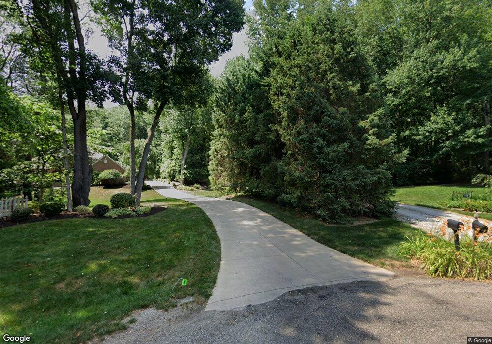
12113 Gateway Dr NW Canal Fulton, OH 44614
Estimated Value: $298,000 - $418,000
4
Beds
3
Baths
2,300
Sq Ft
$164/Sq Ft
Est. Value
About This Home
This home is located at 12113 Gateway Dr NW, Canal Fulton, OH 44614 and is currently estimated at $377,375, approximately $164 per square foot. 12113 Gateway Dr NW is a home located in Stark County with nearby schools including W.S. Stinson Elementary School, Northwest Primary School, and Northwest Middle School.
Ownership History
Date
Name
Owned For
Owner Type
Purchase Details
Closed on
Mar 20, 2024
Sold by
Stoll Joan L Moyes
Bought by
Moyes Stoll Family Fortress Trust and Stoll
Current Estimated Value
Purchase Details
Closed on
Feb 27, 2004
Sold by
Estate Of Douglas O Moyes
Bought by
Moyes Joan L
Purchase Details
Closed on
Aug 27, 1991
Create a Home Valuation Report for This Property
The Home Valuation Report is an in-depth analysis detailing your home's value as well as a comparison with similar homes in the area
Home Values in the Area
Average Home Value in this Area
Purchase History
| Date | Buyer | Sale Price | Title Company |
|---|---|---|---|
| Moyes Stoll Family Fortress Trust | -- | None Listed On Document | |
| Moyes Joan L | -- | -- | |
| -- | $22,000 | -- |
Source: Public Records
Tax History Compared to Growth
Tax History
| Year | Tax Paid | Tax Assessment Tax Assessment Total Assessment is a certain percentage of the fair market value that is determined by local assessors to be the total taxable value of land and additions on the property. | Land | Improvement |
|---|---|---|---|---|
| 2025 | -- | $124,400 | $28,110 | $96,290 |
| 2024 | -- | $124,400 | $28,110 | $96,290 |
| 2023 | $4,391 | $96,500 | $17,570 | $78,930 |
| 2022 | $2,627 | $96,500 | $17,570 | $78,930 |
| 2021 | $2,725 | $96,500 | $17,570 | $78,930 |
| 2020 | $3,983 | $78,130 | $14,180 | $63,950 |
| 2019 | $811 | $79,740 | $15,790 | $63,950 |
| 2018 | $4,018 | $79,740 | $15,790 | $63,950 |
| 2017 | $3,580 | $67,390 | $11,700 | $55,690 |
| 2016 | $3,598 | $67,390 | $11,700 | $55,690 |
| 2015 | $764 | $67,390 | $11,700 | $55,690 |
| 2014 | $1,498 | $60,350 | $10,470 | $49,880 |
| 2013 | $387 | $60,350 | $10,470 | $49,880 |
Source: Public Records
Map
Nearby Homes
- 12347 Stover Farm Dr NW
- 1719 Bruce St
- 1808 Pauli St
- 782 Beverly Ave
- 2101 Livingston Dr
- 764 Chris Cir
- 707 Parkview Ave
- 919 Baffin Dr
- 915 Shackleton Dr
- 0 V L Milhaven Ave NW
- 921 Cabot Dr
- 872 Sandlewood Dr NW
- 12562 Weygandt St NW
- S/L 32 Lakewood Dr E
- S/L 27 Lakewood Dr E
- 539 E Lakewood Dr
- 537 E Lakewood Dr
- 542 E Lakewood Dr
- 413 Stonewood St
- 223 High St SE
- 12131 Gateway Dr NW
- 6643 Towline Dr NW
- 12089 Gateway Dr NW
- 6631 Towline Dr NW
- 6619 Towline Dr NW
- 12112 Gateway Dr NW
- 12084 Gateway Dr NW
- 12077 Gateway Dr NW
- 6611 Towline Dr NW
- 12060 Gateway Dr NW
- 6681 Towline Dr NW
- 6681 Towline Dr NW
- 6626 Towline Dr NW
- 12063 Gateway Dr NW
- 6566 Erie Ave NW
- 6603 Towline Dr NW
- 6654 Towline Dr NW
- 12067 Lockage Rd NW
- 6699 Towline Dr NW
- 12050 Gateway Dr NW
