12113 Swepco Lake Rd Gentry, AR 72734
Estimated Value: $215,000 - $579,000
4
Beds
2
Baths
2,144
Sq Ft
$167/Sq Ft
Est. Value
About This Home
This home is located at 12113 Swepco Lake Rd, Gentry, AR 72734 and is currently estimated at $357,297, approximately $166 per square foot. 12113 Swepco Lake Rd is a home located in Benton County with nearby schools including Gentry Intermediate School, Gentry Primary School, and Gentry Middle School.
Ownership History
Date
Name
Owned For
Owner Type
Purchase Details
Closed on
Nov 29, 2022
Sold by
Overcash Dennis Bruce and Overcash Kathryn Denise
Bought by
Spaul Holly
Current Estimated Value
Home Financials for this Owner
Home Financials are based on the most recent Mortgage that was taken out on this home.
Original Mortgage
$132,000
Outstanding Balance
$127,354
Interest Rate
6.25%
Mortgage Type
New Conventional
Estimated Equity
$229,943
Purchase Details
Closed on
Aug 6, 2007
Sold by
Leopard Jimmy D and Leopard Tamara L
Bought by
Overcash Dennis Bruce and Overcash Kathryn Denise
Home Financials for this Owner
Home Financials are based on the most recent Mortgage that was taken out on this home.
Original Mortgage
$70,000
Interest Rate
6.64%
Mortgage Type
Purchase Money Mortgage
Create a Home Valuation Report for This Property
The Home Valuation Report is an in-depth analysis detailing your home's value as well as a comparison with similar homes in the area
Home Values in the Area
Average Home Value in this Area
Purchase History
| Date | Buyer | Sale Price | Title Company |
|---|---|---|---|
| Spaul Holly | $165,000 | -- | |
| Overcash Dennis Bruce | $120,000 | Elite Title Company Inc |
Source: Public Records
Mortgage History
| Date | Status | Borrower | Loan Amount |
|---|---|---|---|
| Open | Spaul Holly | $132,000 | |
| Previous Owner | Overcash Dennis Bruce | $70,000 |
Source: Public Records
Tax History Compared to Growth
Tax History
| Year | Tax Paid | Tax Assessment Tax Assessment Total Assessment is a certain percentage of the fair market value that is determined by local assessors to be the total taxable value of land and additions on the property. | Land | Improvement |
|---|---|---|---|---|
| 2025 | $1,421 | $42,198 | $6,900 | $35,298 |
| 2024 | $1,325 | $42,198 | $6,900 | $35,298 |
| 2023 | $1,262 | $25,240 | $3,900 | $21,340 |
| 2022 | $1,201 | $25,240 | $3,900 | $21,340 |
| 2021 | $1,098 | $25,240 | $3,900 | $21,340 |
| 2020 | $999 | $18,820 | $2,100 | $16,720 |
| 2019 | $999 | $18,820 | $2,100 | $16,720 |
| 2018 | $999 | $18,820 | $2,100 | $16,720 |
| 2017 | $916 | $18,820 | $2,100 | $16,720 |
| 2016 | $916 | $18,820 | $2,100 | $16,720 |
| 2015 | $784 | $15,680 | $1,800 | $13,880 |
| 2014 | $784 | $15,680 | $1,800 | $13,880 |
Source: Public Records
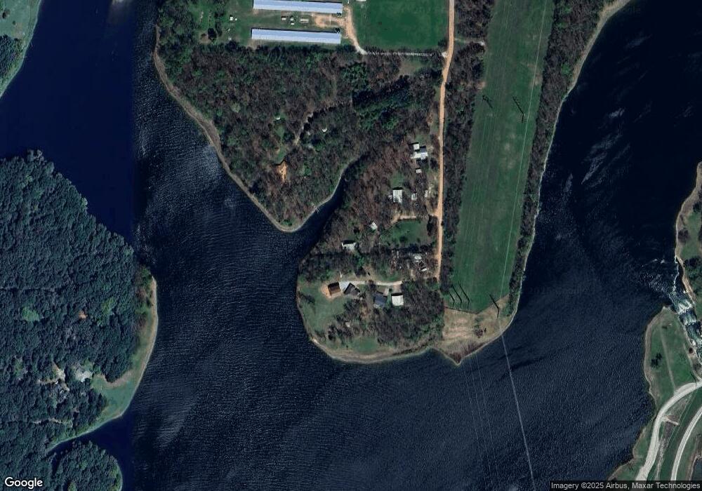
Map
Nearby Homes
- 17225 Featherstone Trail
- 0 Katie Ln
- 11052 Bredehoeft Rd
- 12713 S Pleasant Valley Rd
- 12401 Readings Rd
- 15670 Malone Rd
- 1309 Chavis St
- 1316 Bates St
- 1321 Bates St
- 9300 S Pleasant Valley Rd
- 9236 S Pleasant Valley Rd
- 9112 S Pleasant Valley Rd
- 9124 S Pleasant Valley Rd
- 13150 S Pleasant Valley Rd
- TBD Lot 2 The Preserve
- TBD Lot 4 The Preserve
- 12315 Fairmount Rd
- 16000 Peterson Rd
- 18748 W Highway 12
- 2550 NW Peterson Rd
- 11723 S Brigance Rd
- 11724 S Brigance Rd
- 11736 S Brigance Rd
- 11730 S Brigance Rd
- 68 Acres MOL TBD S Brigance Rd
- 11919 S Brigance Rd
- 11488 S Brigance Rd
- 11655 S Brigance Rd
- 11958 S Brigance Rd
- 11979 S Brigance Rd
- 11454 S Brigance Rd
- 11975 S Brigance Rd
- 12016 S Brigance Rd
- 17186 W Highway 12
- 11893 S Pleasant Valley Rd
- 11893 Pleasant Valley Rd
- 11915 S Pleasant Valley Rd
- 16578 W Highway 12
- 16576 W Highway 12
- 11332 S Brigance Rd