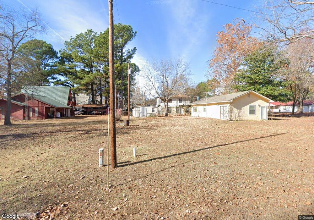
121130 S 4109 Rd Eufaula, OK 74432
Estimated Value: $93,794 - $151,000
1
Bed
1
Bath
980
Sq Ft
$112/Sq Ft
Est. Value
About This Home
This home is located at 121130 S 4109 Rd, Eufaula, OK 74432 and is currently estimated at $110,199, approximately $112 per square foot. 121130 S 4109 Rd is a home with nearby schools including Eufaula Elementary School, Eufaula Middle School, and Eufaula High School.
Ownership History
Date
Name
Owned For
Owner Type
Purchase Details
Closed on
Aug 29, 2016
Sold by
Jones Theodore F and Jones Bonnie J
Bought by
Jones Michael D
Current Estimated Value
Home Financials for this Owner
Home Financials are based on the most recent Mortgage that was taken out on this home.
Original Mortgage
$31,500
Interest Rate
3.45%
Mortgage Type
New Conventional
Purchase Details
Closed on
Oct 8, 2012
Sold by
Jones Theadore F and Jones Theodore F
Bought by
Jones Michael D
Create a Home Valuation Report for This Property
The Home Valuation Report is an in-depth analysis detailing your home's value as well as a comparison with similar homes in the area
Purchase History
| Date | Buyer | Sale Price | Title Company |
|---|---|---|---|
| Jones Michael D | $35,000 | Eufaula Abstract & Title Co | |
| Jones Michael D | -- | None Available |
Source: Public Records
Mortgage History
| Date | Status | Borrower | Loan Amount |
|---|---|---|---|
| Previous Owner | Jones Michael D | $31,500 |
Source: Public Records
Tax History
| Year | Tax Paid | Tax Assessment Tax Assessment Total Assessment is a certain percentage of the fair market value that is determined by local assessors to be the total taxable value of land and additions on the property. | Land | Improvement |
|---|---|---|---|---|
| 2025 | $478 | $5,467 | $371 | $5,096 |
| 2024 | $455 | $5,467 | $396 | $5,071 |
| 2023 | $455 | $4,730 | $275 | $4,455 |
| 2022 | $392 | $4,730 | $275 | $4,455 |
| 2021 | $404 | $4,819 | $275 | $4,544 |
| 2020 | $405 | $4,819 | $275 | $4,544 |
| 2019 | $459 | $5,424 | $275 | $5,149 |
| 2018 | $452 | $5,424 | $275 | $5,149 |
| 2017 | $452 | $5,424 | $275 | $5,149 |
| 2016 | $182 | $2,176 | $275 | $1,901 |
| 2015 | $171 | $2,073 | $275 | $1,798 |
| 2014 | $162 | $1,974 | $275 | $1,699 |
Source: Public Records
Map
Nearby Homes
- 410863 E 1211 Rd
- 121780 S 4109 Cir
- 120662 S 4100 Rd
- TBD Tulip E 1444 Dr
- 17 Patriot Pointe
- 112 Patriot Pointe
- 66 Pebble Ridge
- 121455 S 4093 Rd
- 33 E1220 Rd
- 29 E1220 Rd
- 70 E 1220 Rd
- 413804 E 1212 Rd
- 418391 E1215 Rd
- 123765 S 4107 Rd
- 410053 E County Rd 1240
- 118188 S 4110 Rd
- 39 Holiday St
- 410053 E 1240 Rd
- 411064 E1180 Rd
- 26 E1215 Rd
- 83011 Hc 63
- 410893 E 1211 Rd
- 11006 E 120th Ct N
- 410857 E 1212 Rd
- 17238 S Memorial Dr
- 105 W John St
- 121348 S 4109 Rd
- 121186 S 4109 Rd
- 410753 E 1210 Rd
- 410417 E 1210 Rd
- 120992 S 4104 Rd
- 120959 S 4110 Rd
- 0 Stidham Rd Unit 1550369
- 0 Stidham Rd Unit 1613138
- 0 Stidham Rd Unit 1627800
- 0 Stidham Rd Unit 1843996
- 0 Stidham Rd Unit 2018282
- 120482 S 4110 Rd
- 121914 S 4109 Rd
- 0 S 4109 Rd Unit 2312561
Your Personal Tour Guide
Ask me questions while you tour the home.