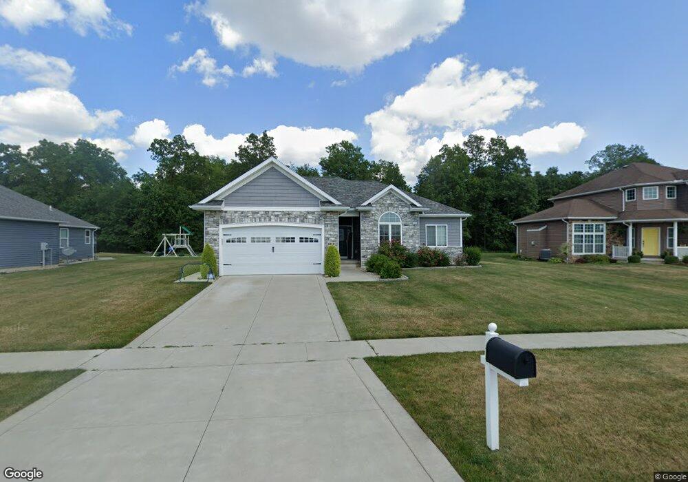
1212 Apache Dr Wauseon, OH 43567
Estimated Value: $310,000 - $416,000
3
Beds
2
Baths
1,722
Sq Ft
$216/Sq Ft
Est. Value
About This Home
This home is located at 1212 Apache Dr, Wauseon, OH 43567 and is currently estimated at $372,731, approximately $216 per square foot. 1212 Apache Dr is a home with nearby schools including Wauseon Primary School, Wauseon Elementary School, and Wauseon Middle School.
Ownership History
Date
Name
Owned For
Owner Type
Purchase Details
Closed on
Oct 30, 2018
Sold by
Tussing Denton Jeff
Bought by
Borysiak Karen and Willeman Matthew D
Current Estimated Value
Home Financials for this Owner
Home Financials are based on the most recent Mortgage that was taken out on this home.
Original Mortgage
$239,400
Outstanding Balance
$210,074
Interest Rate
4.7%
Mortgage Type
New Conventional
Estimated Equity
$162,657
Purchase Details
Closed on
Mar 26, 2018
Sold by
Wilson Leland D and Wilson Christine M
Bought by
Tussing Denton Jeff
Purchase Details
Closed on
Jul 17, 2007
Sold by
Brenner Properties Llp
Bought by
Wilson Leland D and Wilson Christine M
Create a Home Valuation Report for This Property
The Home Valuation Report is an in-depth analysis detailing your home's value as well as a comparison with similar homes in the area
Home Values in the Area
Average Home Value in this Area
Purchase History
| Date | Buyer | Sale Price | Title Company |
|---|---|---|---|
| Borysiak Karen | $260,000 | None Available | |
| Tussing Denton Jeff | $29,000 | None Available | |
| Wilson Leland D | $38,500 | None Available |
Source: Public Records
Mortgage History
| Date | Status | Borrower | Loan Amount |
|---|---|---|---|
| Open | Borysiak Karen | $239,400 |
Source: Public Records
Tax History
| Year | Tax Paid | Tax Assessment Tax Assessment Total Assessment is a certain percentage of the fair market value that is determined by local assessors to be the total taxable value of land and additions on the property. | Land | Improvement |
|---|---|---|---|---|
| 2024 | $5,156 | $107,210 | $15,330 | $91,880 |
| 2023 | $5,331 | $107,210 | $15,330 | $91,880 |
| 2022 | $5,022 | $85,690 | $12,780 | $72,910 |
| 2021 | $5,267 | $85,690 | $12,780 | $72,910 |
| 2020 | $4,912 | $85,690 | $12,780 | $72,910 |
| 2019 | $4,204 | $72,210 | $12,780 | $59,430 |
| 2018 | $545 | $9,700 | $9,700 | $0 |
| 2017 | $540 | $9,700 | $9,700 | $0 |
| 2016 | $563 | $9,700 | $9,700 | $0 |
| 2015 | $530 | $9,700 | $9,700 | $0 |
| 2014 | $504 | $9,700 | $9,700 | $0 |
| 2013 | $556 | $9,910 | $9,910 | $0 |
Source: Public Records
Map
Nearby Homes
- 1171 Apache Dr
- 1062 Seneca Dr
- 1090 Seneca Dr
- 1066 Seneca Dr
- 760 Airport Hwy
- 13242 Us Highway 20a
- 460 Airport Hwy
- 351 E Walnut St
- 833 3rd St
- 203 E Oak St
- 14578 Us Highway 20a
- 1338 N Park Ln
- 7373 County Road 12
- 252 W Chestnut St
- 263 W Chestnut St
- 420 Clover Ln
- 594 Douglas Dr
- 14900 County Road H
- 11470 County Rd E
- 14900 W Co Rd H
Your Personal Tour Guide
Ask me questions while you tour the home.