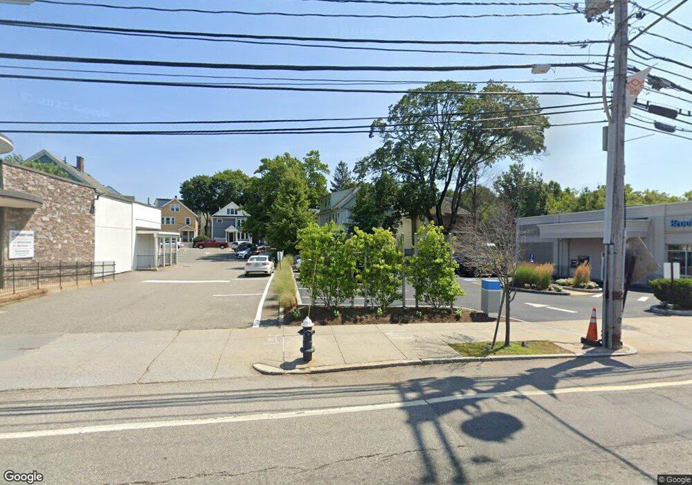
1212 Boylston St Unit 3 Chestnut Hill, MA 02467
Chestnut Hill NeighborhoodEstimated Value: $2,401,980
2
Beds
1
Bath
900
Sq Ft
$2,669/Sq Ft
Est. Value
About This Home
This home is located at 1212 Boylston St Unit 3, Chestnut Hill, MA 02467 and is currently estimated at $2,401,980, approximately $2,668 per square foot. 1212 Boylston St Unit 3 is a home located in Norfolk County with nearby schools including Heath Elementary School, Brimmer & May School, and The Chestnut Hill School.
Ownership History
Date
Name
Owned For
Owner Type
Purchase Details
Closed on
Jun 26, 2003
Sold by
Century B & T Co
Bought by
1212-1220 Boylston Llc
Current Estimated Value
Home Financials for this Owner
Home Financials are based on the most recent Mortgage that was taken out on this home.
Original Mortgage
$1,100,000
Outstanding Balance
$477,170
Interest Rate
5.53%
Mortgage Type
Commercial
Estimated Equity
$1,924,810
Purchase Details
Closed on
Sep 26, 1994
Sold by
Salvatore Gregory J and Salvatore Steven R
Bought by
Boylston St 12 Assoc
Home Financials for this Owner
Home Financials are based on the most recent Mortgage that was taken out on this home.
Original Mortgage
$282,000
Interest Rate
8.56%
Mortgage Type
Commercial
Create a Home Valuation Report for This Property
The Home Valuation Report is an in-depth analysis detailing your home's value as well as a comparison with similar homes in the area
Home Values in the Area
Average Home Value in this Area
Purchase History
| Date | Buyer | Sale Price | Title Company |
|---|---|---|---|
| 1212-1220 Boylston Llc | $1,100,000 | -- | |
| Boylston St 12 Assoc | $320,000 | -- |
Source: Public Records
Mortgage History
| Date | Status | Borrower | Loan Amount |
|---|---|---|---|
| Open | Boylston St 12 Assoc | $1,100,000 | |
| Previous Owner | Boylston St 12 Assoc | $400,000 | |
| Previous Owner | Boylston St 12 Assoc | $282,000 | |
| Previous Owner | Boylston St 12 Assoc | $200,000 |
Source: Public Records
Tax History Compared to Growth
Tax History
| Year | Tax Paid | Tax Assessment Tax Assessment Total Assessment is a certain percentage of the fair market value that is determined by local assessors to be the total taxable value of land and additions on the property. | Land | Improvement |
|---|---|---|---|---|
| 2025 | $28,987 | $1,750,400 | $1,709,000 | $41,400 |
| 2024 | $28,734 | $1,751,000 | $1,709,000 | $42,000 |
| 2023 | $29,943 | $1,793,000 | $1,754,700 | $38,300 |
| 2022 | $29,624 | $1,788,900 | $1,754,700 | $34,200 |
| 2021 | $28,600 | $1,788,600 | $1,754,700 | $33,900 |
| 2020 | $27,772 | $1,788,300 | $1,754,700 | $33,600 |
| 2019 | $26,194 | $1,704,200 | $1,671,100 | $33,100 |
| 2018 | $24,454 | $1,555,600 | $1,531,900 | $23,700 |
| 2017 | $24,817 | $1,531,900 | $1,531,900 | $0 |
| 2016 | $26,027 | $1,531,900 | $1,531,900 | $0 |
| 2015 | -- | $1,044,500 | $1,044,500 | $0 |
| 2014 | -- | $1,207,200 | $674,700 | $532,500 |
Source: Public Records
Map
Nearby Homes
- 3 Glenoe Rd
- 0 Glenoe Rd
- 15 Glenland Rd
- 11 Hammond Pond Pkwy Unit 3
- 33 Hammond Pond Pkwy Unit 2
- 76 Norfolk Rd
- 321 Hammond Pond Pkwy Unit 103
- 321 Hammond Pond Pkwy Unit 301
- 771 Heath St Unit 771
- 1014 Boylston St
- 809-811 Heath St Unit 811
- 799 Heath St Unit 2
- 138 Woodland Rd
- 335 Heath St
- 811 Heath St
- 174 Middlesex Rd
- 5 Heathwood Ln
- 85 Gate House Rd
- 142 Crafts Rd
- 130 Cabot St
- 35 Sheafe St
- 35 Sheafe St
- 35 Sheafe St Unit 2
- 35 Sheafe St Unit 1
- 25 Sheafe St
- 39 Sheafe St Unit 1
- 39 Sheafe St Unit 2
- 39 Sheafe St
- 21 Sheafe St
- 21 Sheafe St Unit 7
- 21 Sheafe St
- 21 Sheafe St Unit 3
- 30 Sheafe St Unit 1
- 30 Sheafe St
- 30 Sheafe St
- 30 Sheafe St Unit sheafe st
- 30 Sheafe St Unit A
- 30 Sheafe St Unit B
- 26 Sheafe St Unit 1
- 26 Sheafe St