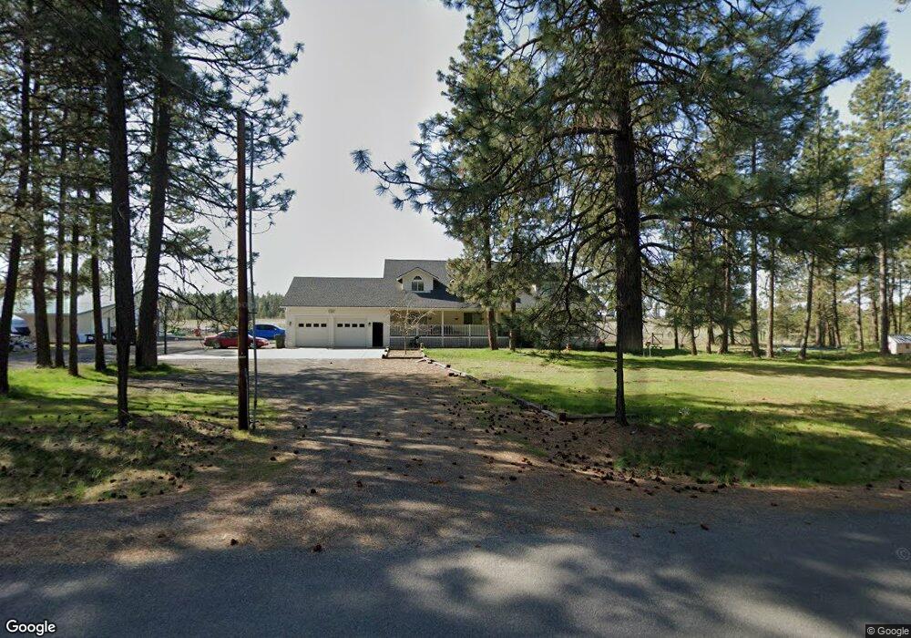
1212 E Smythe Rd Spangle, WA 99031
Estimated Value: $846,907 - $1,199,000
5
Beds
3
Baths
5,400
Sq Ft
$178/Sq Ft
Est. Value
About This Home
This home is located at 1212 E Smythe Rd, Spangle, WA 99031 and is currently estimated at $962,477, approximately $178 per square foot. 1212 E Smythe Rd is a home located in Spokane County with nearby schools including Liberty Elementary/Junior High School and Liberty High School.
Ownership History
Date
Name
Owned For
Owner Type
Purchase Details
Closed on
Jun 24, 2004
Sold by
Powell David H and Powell Renae M
Bought by
Moseley Darrell L and Moseley Brenda L
Current Estimated Value
Home Financials for this Owner
Home Financials are based on the most recent Mortgage that was taken out on this home.
Original Mortgage
$120,000
Outstanding Balance
$59,798
Interest Rate
6.29%
Mortgage Type
Purchase Money Mortgage
Estimated Equity
$902,679
Create a Home Valuation Report for This Property
The Home Valuation Report is an in-depth analysis detailing your home's value as well as a comparison with similar homes in the area
Purchase History
| Date | Buyer | Sale Price | Title Company |
|---|---|---|---|
| Moseley Darrell L | $300,000 | Pacific Nw Title |
Source: Public Records
Mortgage History
| Date | Status | Borrower | Loan Amount |
|---|---|---|---|
| Open | Moseley Darrell L | $120,000 |
Source: Public Records
Tax History
| Year | Tax Paid | Tax Assessment Tax Assessment Total Assessment is a certain percentage of the fair market value that is determined by local assessors to be the total taxable value of land and additions on the property. | Land | Improvement |
|---|---|---|---|---|
| 2025 | $1,732 | $711,920 | $143,820 | $568,100 |
| 2024 | $1,732 | $774,120 | $143,820 | $630,300 |
| 2023 | $6,196 | $759,990 | $93,990 | $666,000 |
| 2022 | $5,980 | $759,990 | $93,990 | $666,000 |
| 2021 | $5,766 | $535,410 | $63,510 | $471,900 |
| 2020 | $5,553 | $500,210 | $63,510 | $436,700 |
| 2019 | $4,613 | $442,510 | $60,510 | $382,000 |
| 2018 | $4,832 | $393,720 | $56,720 | $337,000 |
| 2017 | $4,679 | $394,350 | $42,050 | $352,300 |
| 2016 | $4,351 | $370,850 | $40,650 | $330,200 |
| 2015 | $4,195 | $367,430 | $29,730 | $337,700 |
| 2014 | -- | $349,430 | $29,730 | $319,700 |
| 2013 | -- | $0 | $0 | $0 |
Source: Public Records
Map
Nearby Homes
- 102 E Cameron Rd
- 18616 S Smythe Rd
- 21608 S Mill Rd
- 20xxx S Parker Rd
- 3013 E Watt Rd
- 4408 E Spangle Creek Rd
- XXX E Cornwall Rd
- 15010 S Stentz Rd
- 365 N Pine St
- 19212 S Aspen Meadows Dr
- 16621 S Sherman Rd
- Lot 2 Nka Cheney Spangle Rd Unit Parcel 32085.9041
- 1112 E Jennings Rd
- 16771 S Sherman Rd
- 17901 S Aspen Meadows Dr
- 14211 S Keeney Rd
- 22711 S Gateway Ln
- 17522 S Lois Dr
- 1305 E Wildflower Ln
- 13417 S Bluegrouse Ln
- 1316 E Smythe Rd
- 1108 E Smythe Rd
- TBD E Smythe
- 0000 Smythe Rd
- 1020 E Smythe Rd
- 2XXX E Smythe Rd Unit XXXX Sunny Meadows R
- 2XXX E Smythe Rd Unit XXXX Spangle Creek R
- 000 E Smythe Rd
- 00 E Smythe Rd
- 1510 E Smythe Rd
- 923 E Smythe Rd
- 916 E Smythe Rd
- 19615 S Nevada St
- 19810 S Chrysler Rd
- 1515 E Smythe Rd
- 18000 S Nevada St
- 17900 S Nevada St
- 820 E Smythe Rd
- 19301 S Nevada St
- 1611 E Smythe Rd
Your Personal Tour Guide
Ask me questions while you tour the home.