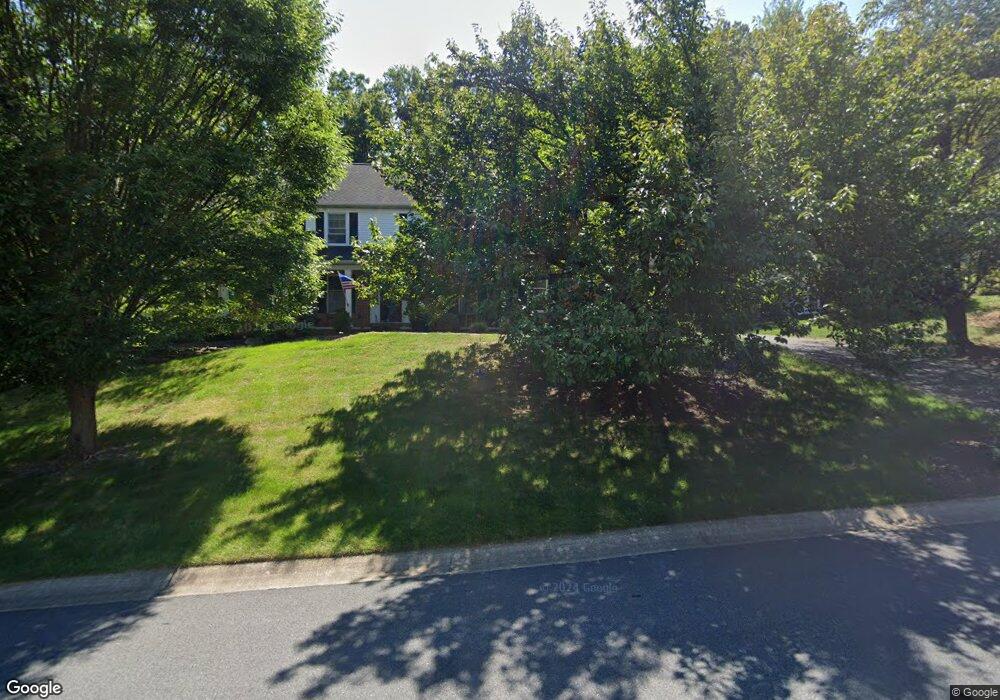
1212 Empire Cir Lancaster, PA 17601
East Hempfield NeighborhoodEstimated Value: $643,000 - $750,000
4
Beds
4
Baths
3,487
Sq Ft
$201/Sq Ft
Est. Value
About This Home
This home is located at 1212 Empire Cir, Lancaster, PA 17601 and is currently estimated at $699,215, approximately $200 per square foot. 1212 Empire Cir is a home located in Lancaster County with nearby schools including Landisville Primary Center, Landisville Middle School, and Hempfield Senior High School.
Ownership History
Date
Name
Owned For
Owner Type
Purchase Details
Closed on
Mar 26, 2012
Sold by
Longcore William A
Bought by
Longcore William A and Longcore Christine C
Current Estimated Value
Home Financials for this Owner
Home Financials are based on the most recent Mortgage that was taken out on this home.
Original Mortgage
$331,000
Outstanding Balance
$229,056
Interest Rate
3.95%
Mortgage Type
New Conventional
Estimated Equity
$470,159
Purchase Details
Closed on
Dec 14, 2007
Sold by
Smeltz Timothy S and Smeltz Darlene H
Bought by
Longcore William A
Home Financials for this Owner
Home Financials are based on the most recent Mortgage that was taken out on this home.
Original Mortgage
$312,000
Interest Rate
6.3%
Mortgage Type
Purchase Money Mortgage
Create a Home Valuation Report for This Property
The Home Valuation Report is an in-depth analysis detailing your home's value as well as a comparison with similar homes in the area
Home Values in the Area
Average Home Value in this Area
Purchase History
| Date | Buyer | Sale Price | Title Company |
|---|---|---|---|
| Longcore William A | -- | None Available | |
| Longcore William A | $390,000 | None Available |
Source: Public Records
Mortgage History
| Date | Status | Borrower | Loan Amount |
|---|---|---|---|
| Open | Longcore William A | $331,000 | |
| Closed | Longcore William A | $312,000 |
Source: Public Records
Tax History Compared to Growth
Tax History
| Year | Tax Paid | Tax Assessment Tax Assessment Total Assessment is a certain percentage of the fair market value that is determined by local assessors to be the total taxable value of land and additions on the property. | Land | Improvement |
|---|---|---|---|---|
| 2025 | $7,950 | $367,900 | $95,400 | $272,500 |
| 2024 | $7,950 | $367,900 | $95,400 | $272,500 |
| 2023 | $7,792 | $367,900 | $95,400 | $272,500 |
| 2022 | $7,577 | $367,900 | $95,400 | $272,500 |
| 2021 | $7,457 | $367,900 | $95,400 | $272,500 |
| 2020 | $7,457 | $367,900 | $95,400 | $272,500 |
| 2019 | $7,330 | $367,900 | $95,400 | $272,500 |
| 2018 | $1,443 | $367,900 | $95,400 | $272,500 |
| 2017 | $8,141 | $323,300 | $68,000 | $255,300 |
| 2016 | $8,140 | $323,300 | $68,000 | $255,300 |
| 2015 | $1,634 | $323,300 | $68,000 | $255,300 |
| 2014 | $6,167 | $323,300 | $68,000 | $255,300 |
Source: Public Records
Map
Nearby Homes
- 1105 Amy Ln
- 3093 Essex Place
- 1400 Limestone Ridge
- 3100 Parker Dr
- 1059 Nissley Rd
- 1509 Wheatfield Vista
- 2990 Nolt Rd
- 2938 Hearthside Ln
- 1612 English Brook Dr
- 156 Penningdon Dr
- 189 Ridings Way
- 101 Wayland Dr
- 306 Country Place Dr Unit 306
- 3714 Jonas Dr
- 3720 Jonas Dr
- 1313 Hyde Park Dr
- 151 Pinnacle Point Dr
- 854 Centerville Rd
- 849 Aylesbury Dr
- 27 Naomi Ave
- 1208 Empire Cir
- 1216 Empire Cir
- 1204 Empire Cir
- 1220 Empire Cir
- 1213 Empire Cir
- 1209 Empire Cir
- 1204 Woodworth Dr
- 1217 Empire Cir
- 1224 Empire Cir
- 1205 Empire Cir
- 1221 Empire Cir
- 1200 Empire Cir
- 1201 Empire Cir
- 2932 Bowman Rd
- 2928 Bowman Rd
- 2936 Bowman Rd
- 3000 Bowman Rd
- 2924 Bowman Rd
- 2938 Kings Ln
- 2940 Bowman Rd