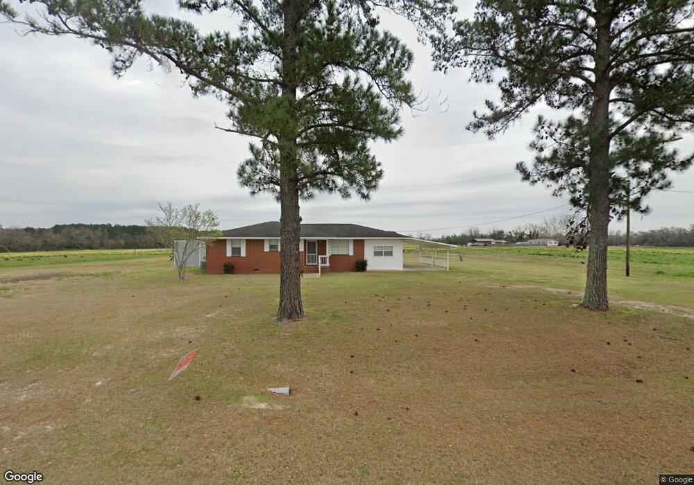
1212 Enterprise Rd Colquitt, GA 39837
Estimated Value: $162,146 - $172,000
3
Beds
2
Baths
2,056
Sq Ft
$82/Sq Ft
Est. Value
About This Home
This home is located at 1212 Enterprise Rd, Colquitt, GA 39837 and is currently estimated at $168,049, approximately $81 per square foot. 1212 Enterprise Rd is a home located in Miller County with nearby schools including Miller County Elementary School, Miller County Middle School, and Miller County High School.
Ownership History
Date
Name
Owned For
Owner Type
Purchase Details
Closed on
Mar 27, 2024
Sold by
Kirkland Barbara A
Bought by
Johnson Logan Carl and Raye Thomas Sydney
Current Estimated Value
Purchase Details
Closed on
Jun 12, 2020
Sold by
Avant Leanne K
Bought by
Kirkland Barbara A
Purchase Details
Closed on
Aug 10, 2016
Sold by
George D
Bought by
Avant Leanne K
Purchase Details
Closed on
Mar 11, 2002
Sold by
Gordon Marion K and Gordon Jennifer L
Bought by
Avant George D and Avant Leanne K
Create a Home Valuation Report for This Property
The Home Valuation Report is an in-depth analysis detailing your home's value as well as a comparison with similar homes in the area
Home Values in the Area
Average Home Value in this Area
Purchase History
| Date | Buyer | Sale Price | Title Company |
|---|---|---|---|
| Johnson Logan Carl | $160,000 | -- | |
| Kirkland Barbara A | -- | -- | |
| Kirkland Barbara A | -- | -- | |
| Avant Leanne K | -- | -- | |
| Avant George D | $60,000 | -- |
Source: Public Records
Tax History Compared to Growth
Tax History
| Year | Tax Paid | Tax Assessment Tax Assessment Total Assessment is a certain percentage of the fair market value that is determined by local assessors to be the total taxable value of land and additions on the property. | Land | Improvement |
|---|---|---|---|---|
| 2024 | $1,772 | $59,860 | $1,691 | $58,169 |
| 2023 | $1,302 | $43,683 | $1,691 | $41,992 |
| 2022 | $815 | $28,468 | $1,691 | $26,777 |
| 2021 | $805 | $28,468 | $1,690 | $26,778 |
| 2020 | $1,110 | $29,323 | $1,691 | $27,632 |
| 2019 | $1,113 | $29,323 | $1,691 | $27,632 |
| 2018 | $1,081 | $29,323 | $1,691 | $27,632 |
| 2017 | $1,081 | $29,323 | $1,691 | $27,632 |
| 2016 | $1,128 | $30,589 | $1,691 | $28,898 |
| 2015 | -- | $27,409 | $2,000 | $25,409 |
| 2014 | -- | $27,409 | $2,000 | $25,409 |
| 2013 | -- | $27,409 | $2,000 | $25,409 |
Source: Public Records
Map
Nearby Homes
- 755 Mayhaw Rd
- 1645 Georgia 91
- Grady Cobb Rd
- US 27 Us Highway 27
- 2835 Georgia 91
- 1563 Ga Highway 27 N
- 102 Bremond St
- 210 N First St
- 157 E Pine St
- 300 N First St
- 356 E Main St
- 570 E Pine St
- 394 Bush Dairy Rd
- 74 Harmony Church Rd
- 00 Stein Rd
- 708 E Crawford St
- 000 Phillipsburg Rd
- 721 E Crawford St
- 000 Thompson Town Rd
- 000 Bellview Rd
- 102 Houston Rd
- 1193 Enterprise Rd
- 54 Houston Rd
- 1151 Enterprise Rd
- 1282 Enterprise Rd
- 66 Houston Rd
- 57 Houston Rd
- 75 Houston Rd
- 421 Mayhaw Rd
- 455 Mayhaw Rd
- 328 Newberry Chambers Rd
- 36 Houston Rd
- 1126 Enterprise Rd
- 481 Mayhaw Rd
- 501 Mayhaw Rd
- 510 Mayhaw Rd
- 159 Wallace Newberry Rd
- 23 Houston Rd
- 185 Wallace Newberry Rd
- 15 Houston Rd