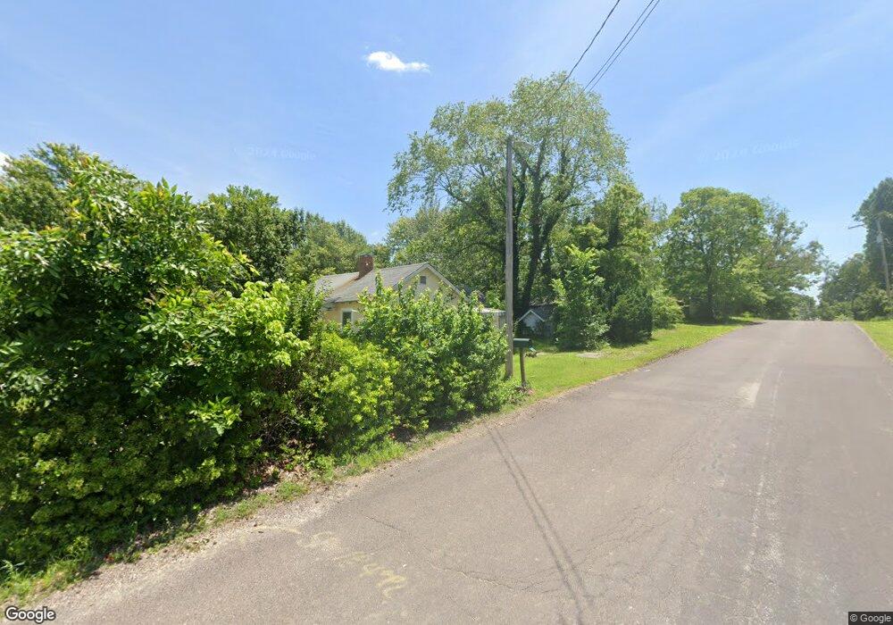
1212 Forest Hills Dr Saint Clair, MO 63077
Estimated Value: $105,285 - $141,000
1
Bed
1
Bath
706
Sq Ft
$180/Sq Ft
Est. Value
About This Home
This home is located at 1212 Forest Hills Dr, Saint Clair, MO 63077 and is currently estimated at $127,321, approximately $180 per square foot. 1212 Forest Hills Dr is a home located in Franklin County with nearby schools including St. Clair Elementary School, Edgar Murray Elementary School, and St. Clair Junior High School.
Ownership History
Date
Name
Owned For
Owner Type
Purchase Details
Closed on
Oct 22, 2009
Sold by
Freeman Cherlyn A and Freeman Jerry
Bought by
Byrd Neal
Current Estimated Value
Home Financials for this Owner
Home Financials are based on the most recent Mortgage that was taken out on this home.
Original Mortgage
$29,450
Outstanding Balance
$19,103
Interest Rate
5.03%
Mortgage Type
New Conventional
Estimated Equity
$108,218
Purchase Details
Closed on
Jun 19, 2009
Sold by
Freeman Cherlyn A and Leach Cherie
Bought by
Freeman Cherlyn A and Freeman Jerry
Create a Home Valuation Report for This Property
The Home Valuation Report is an in-depth analysis detailing your home's value as well as a comparison with similar homes in the area
Home Values in the Area
Average Home Value in this Area
Purchase History
| Date | Buyer | Sale Price | Title Company |
|---|---|---|---|
| Byrd Neal | -- | None Available | |
| Freeman Cherlyn A | -- | None Available |
Source: Public Records
Mortgage History
| Date | Status | Borrower | Loan Amount |
|---|---|---|---|
| Open | Byrd Neal | $29,450 |
Source: Public Records
Tax History
| Year | Tax Paid | Tax Assessment Tax Assessment Total Assessment is a certain percentage of the fair market value that is determined by local assessors to be the total taxable value of land and additions on the property. | Land | Improvement |
|---|---|---|---|---|
| 2025 | $657 | $10,444 | $0 | $0 |
| 2024 | $657 | $11,003 | $0 | $0 |
| 2023 | $627 | $11,003 | $0 | $0 |
| 2022 | $574 | $10,059 | $0 | $0 |
| 2021 | $573 | $10,059 | $0 | $0 |
| 2020 | $562 | $9,441 | $0 | $0 |
| 2019 | $557 | $9,441 | $0 | $0 |
| 2018 | $558 | $9,342 | $0 | $0 |
| 2017 | $558 | $9,342 | $0 | $0 |
| 2016 | $613 | $10,251 | $0 | $0 |
| 2015 | $565 | $10,251 | $0 | $0 |
| 2014 | $576 | $10,420 | $0 | $0 |
Source: Public Records
Map
Nearby Homes
- 830 Walton St
- 1008 Cathy Cir
- 1255 Diane St
- 322 Cart Path Ln
- 614 T-Box Dr
- 325 Iris Ct
- 0 Gravois Rd Unit 11555468
- 235 E Oak St
- 330 Young St
- 0 Crescent Lake Rd Unit MIS25079528
- 45 E Oak St
- 100 E North St
- 208 Mosley Ave
- 5 Lots Mosley Ave
- 605 N Main St
- 390 Highway Dr
- 909 Q Ave
- 445 Lakeshore Dr
- 347 Roller Rd
- 127 Stone Ledge Dr
- 1014 Gravois Rd
- 1218 Forest Hills Dr
- 1007 Gravois Rd
- 965 E Gravois Ave
- 960 E Gravois Ave
- 1001 Gravois Rd
- 1026 Gravois Rd
- 493 Pelton Trails Dr
- 935 E Gravois Ave
- 487 Pelton Trails Dr
- 1031 Gravois Rd
- 1226 Forest Hills Dr
- 925 E Gravois Ave
- 483 Pelton Trails Dr
- 905 E Gravois Ave
- 950 Meadow Dr
- 485 Pelton Trails Dr
- 940 Meadow Dr
- 930 Meadow Dr
- 865 E Gravois Ave
Your Personal Tour Guide
Ask me questions while you tour the home.