1212 Leeland Ln Balsam Lake, WI 54810
Estimated Value: $889,743 - $1,036,000
--
Bed
--
Bath
--
Sq Ft
0.48
Acres
About This Home
This home is located at 1212 Leeland Ln, Balsam Lake, WI 54810 and is currently estimated at $962,872. 1212 Leeland Ln is a home with nearby schools including Unity Elementary School, Unity Middle School, and Unity High School.
Ownership History
Date
Name
Owned For
Owner Type
Purchase Details
Closed on
Sep 28, 2020
Sold by
Olson Thomas G and Olson Betty L
Bought by
Miller Thomas Kent and Welch Julie Ann
Current Estimated Value
Home Financials for this Owner
Home Financials are based on the most recent Mortgage that was taken out on this home.
Original Mortgage
$490,000
Outstanding Balance
$435,829
Interest Rate
2.9%
Mortgage Type
New Conventional
Estimated Equity
$527,043
Create a Home Valuation Report for This Property
The Home Valuation Report is an in-depth analysis detailing your home's value as well as a comparison with similar homes in the area
Home Values in the Area
Average Home Value in this Area
Purchase History
| Date | Buyer | Sale Price | Title Company |
|---|---|---|---|
| Miller Thomas Kent | $800,000 | None Available |
Source: Public Records
Mortgage History
| Date | Status | Borrower | Loan Amount |
|---|---|---|---|
| Open | Miller Thomas Kent | $490,000 |
Source: Public Records
Tax History Compared to Growth
Tax History
| Year | Tax Paid | Tax Assessment Tax Assessment Total Assessment is a certain percentage of the fair market value that is determined by local assessors to be the total taxable value of land and additions on the property. | Land | Improvement |
|---|---|---|---|---|
| 2024 | $6,572 | $613,500 | $336,200 | $277,300 |
| 2023 | $6,263 | $613,500 | $336,200 | $277,300 |
| 2022 | $6,735 | $513,400 | $280,200 | $233,200 |
| 2021 | $6,478 | $398,200 | $215,600 | $182,600 |
| 2020 | $5,550 | $339,700 | $165,000 | $174,700 |
| 2019 | $5,414 | $339,700 | $165,000 | $174,700 |
| 2018 | $6,041 | $339,700 | $165,000 | $174,700 |
| 2017 | $5,588 | $339,700 | $165,000 | $174,700 |
| 2016 | $5,549 | $339,700 | $165,000 | $174,700 |
| 2015 | $5,863 | $354,200 | $165,000 | $189,200 |
| 2013 | $6,264 | $354,200 | $165,000 | $189,200 |
| 2012 | $5,922 | $354,200 | $165,000 | $189,200 |
Source: Public Records
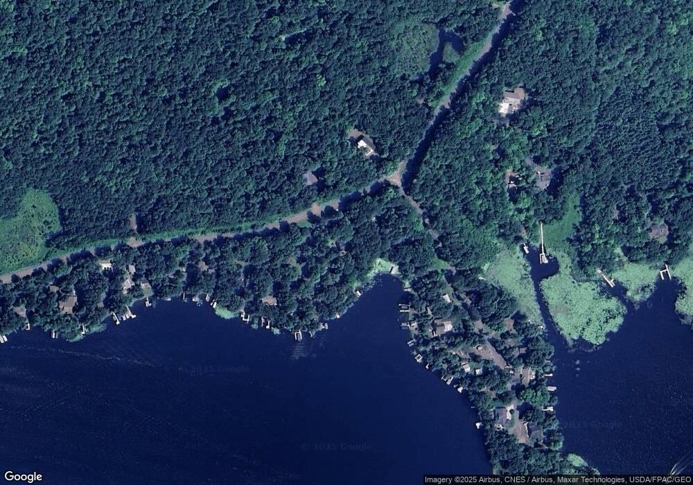
Map
Nearby Homes
- tbd 170th Ave
- 1911 W Bone Lake Dr
- 119 Vadnais Ln
- 215 Park Dr Unit 4
- 603 Ramberg Ct
- XXX County Road I
- 110 1st Ave W
- 309 W Main St
- xxx Old Main St
- 1819 145th St Unit 2
- 1926 140th St
- 1884 145th St
- xxx 150th Ave
- 1276 County Road G
- 1292 148th Ave
- 701 Wisconsin 46 Unit Lot 21
- 2036C 135th St Unit C
- 1338 Cr-G Unit B
- 00 Cty Hwy 46 Unit LotWP002
- 00 Highway 46
- 1214 Leeland Ln
- 1763 Leeland Ct
- 1761 Leeland Ct
- 1218 Leeland Ln
- 1759 Leeland Ct
- 1220 Leeland Ln
- 1755 Leeland Ct
- 1222 Leeland Ln
- 1201 Leeland Ln
- 1753 Leeland Ct
- 1751 Leeland Ct
- 0 Lot 3 & 4 Baker Rd Unit LOT 3 1537408
- 0 Lot 8 197th Ave Unit LOT 8 1537410
- 1226 Leeland Ln
- 1228 Leeland Ln
- 1749 Leeland Ct
- 1202 Leeland Ln Unit A
- 1202 Leeland Ln
- 1202 Leeland Ln Unit A
- 1752 Leeland Ct