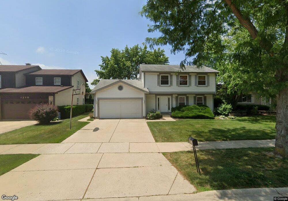
1212 Lockwood Dr Buffalo Grove, IL 60089
Estimated Value: $614,000 - $636,000
4
Beds
3
Baths
2,314
Sq Ft
$270/Sq Ft
Est. Value
About This Home
This home is located at 1212 Lockwood Dr, Buffalo Grove, IL 60089 and is currently estimated at $625,247, approximately $270 per square foot. 1212 Lockwood Dr is a home located in Lake County with nearby schools including Prairie Elementary School, Twin Groves Middle School, and Adlai E Stevenson High School.
Ownership History
Date
Name
Owned For
Owner Type
Purchase Details
Closed on
Jun 21, 2007
Sold by
Gamer Howard W and Gamer Shari
Bought by
Hill Richard A and Hill Natalia
Current Estimated Value
Home Financials for this Owner
Home Financials are based on the most recent Mortgage that was taken out on this home.
Original Mortgage
$391,200
Outstanding Balance
$241,698
Interest Rate
6.37%
Mortgage Type
Purchase Money Mortgage
Estimated Equity
$383,549
Purchase Details
Closed on
Dec 18, 1995
Sold by
Gamer Howard W and Gamer Shari
Bought by
Gamer Howard W and Gamer Shari
Create a Home Valuation Report for This Property
The Home Valuation Report is an in-depth analysis detailing your home's value as well as a comparison with similar homes in the area
Home Values in the Area
Average Home Value in this Area
Purchase History
| Date | Buyer | Sale Price | Title Company |
|---|---|---|---|
| Hill Richard A | $489,000 | Rtc | |
| Gamer Howard W | -- | -- |
Source: Public Records
Mortgage History
| Date | Status | Borrower | Loan Amount |
|---|---|---|---|
| Open | Hill Richard A | $391,200 |
Source: Public Records
Tax History Compared to Growth
Tax History
| Year | Tax Paid | Tax Assessment Tax Assessment Total Assessment is a certain percentage of the fair market value that is determined by local assessors to be the total taxable value of land and additions on the property. | Land | Improvement |
|---|---|---|---|---|
| 2024 | $14,795 | $172,629 | $38,144 | $134,485 |
| 2023 | $14,015 | $152,232 | $33,637 | $118,595 |
| 2022 | $14,015 | $140,407 | $31,024 | $109,383 |
| 2021 | $13,484 | $138,893 | $30,689 | $108,204 |
| 2020 | $13,167 | $139,367 | $30,794 | $108,573 |
| 2019 | $12,985 | $138,853 | $30,680 | $108,173 |
| 2018 | $12,955 | $142,755 | $30,322 | $112,433 |
| 2017 | $12,710 | $139,423 | $29,614 | $109,809 |
| 2016 | $12,380 | $133,509 | $28,358 | $105,151 |
| 2015 | $12,056 | $124,856 | $26,520 | $98,336 |
| 2014 | $11,030 | $113,173 | $28,482 | $84,691 |
| 2012 | $10,946 | $113,400 | $28,539 | $84,861 |
Source: Public Records
Map
Nearby Homes
- 1118 Larraway Dr
- 1113 Lockwood Dr
- 327 Lasalle Ln
- 1265 Devonshire Rd
- 538 Lasalle Ct
- 938 Hidden Lake Dr
- 1141 Devonshire Rd
- 931 Shady Grove Ln
- 1272 Sandhurst Dr
- 896 Chaucer Way Unit 2
- 890 Knollwood Dr
- 15 Thompson Ct
- 1265 Ranchview Ct
- 1012 Hobson Dr
- 711 Woodhollow Ln
- 1903 Sheridan Rd
- 1901 Brandywyn Ln
- 148 White Branch Ct
- 51 W Fabish Dr
- 610 Checker Dr
- 1214 Lockwood Dr
- 1210 Lockwood Dr
- 1216 Lockwood Dr
- 1208 Lockwood Dr
- 1211 Lockwood Dr
- 1213 Lockwood Dr
- 1218 Lockwood Dr
- 1207 Lockwood Dr
- 1215 Lockwood Dr
- 1206 Lockwood Dr
- 1220 Lockwood Dr
- 427 Lamont Terrace
- 1203 Lockwood Dr
- 1204 Larraway Dr
- 1206 Larraway Dr
- 425 Lamont Terrace
- 1222 Lockwood Dr
- 1202 Lockwood Dr
- 1202 Larraway Dr