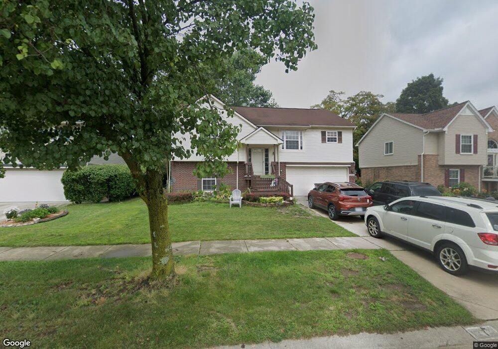
1212 Michael Dr Westland, MI 48186
Estimated Value: $203,898 - $349,000
4
Beds
3
Baths
2,127
Sq Ft
$130/Sq Ft
Est. Value
About This Home
This home is located at 1212 Michael Dr, Westland, MI 48186 and is currently estimated at $276,725, approximately $130 per square foot. 1212 Michael Dr is a home located in Wayne County with nearby schools including Alexander Hamilton Elementary School, Adams Middle School, and Benjamin Franklin Middle School.
Ownership History
Date
Name
Owned For
Owner Type
Purchase Details
Closed on
Oct 22, 2024
Sold by
Smith Billie Jane
Bought by
Camper Colin and Garcia Mercedes
Current Estimated Value
Home Financials for this Owner
Home Financials are based on the most recent Mortgage that was taken out on this home.
Original Mortgage
$158,730
Outstanding Balance
$157,013
Interest Rate
6.2%
Mortgage Type
FHA
Estimated Equity
$119,712
Purchase Details
Closed on
Aug 31, 2021
Sold by
Smith Billie Jane
Bought by
Smith Billie Jane and Camper Colin R
Purchase Details
Closed on
Aug 23, 2000
Sold by
Galaxy Builders Inc
Bought by
Smith Billie J
Purchase Details
Closed on
Jun 8, 2000
Sold by
Wildwood Assoc One Llc
Bought by
Galaxy Builders Inc
Create a Home Valuation Report for This Property
The Home Valuation Report is an in-depth analysis detailing your home's value as well as a comparison with similar homes in the area
Home Values in the Area
Average Home Value in this Area
Purchase History
| Date | Buyer | Sale Price | Title Company |
|---|---|---|---|
| Camper Colin | $195,000 | Alliance Title | |
| Smith Billie Jane | -- | None Available | |
| Smith Billie J | $178,900 | -- | |
| Galaxy Builders Inc | $42,500 | -- |
Source: Public Records
Mortgage History
| Date | Status | Borrower | Loan Amount |
|---|---|---|---|
| Open | Camper Colin | $158,730 |
Source: Public Records
Tax History Compared to Growth
Tax History
| Year | Tax Paid | Tax Assessment Tax Assessment Total Assessment is a certain percentage of the fair market value that is determined by local assessors to be the total taxable value of land and additions on the property. | Land | Improvement |
|---|---|---|---|---|
| 2025 | $3,931 | $148,500 | $0 | $0 |
| 2024 | $3,931 | $139,400 | $0 | $0 |
| 2023 | $3,627 | $130,500 | $0 | $0 |
| 2022 | $4,386 | $118,000 | $0 | $0 |
| 2021 | $4,132 | $108,600 | $0 | $0 |
| 2020 | $4,558 | $110,100 | $0 | $0 |
| 2019 | $4,624 | $102,900 | $0 | $0 |
| 2018 | $2,859 | $86,500 | $0 | $0 |
| 2017 | $1,875 | $79,300 | $0 | $0 |
| 2016 | $3,848 | $80,100 | $0 | $0 |
| 2015 | $6,234 | $68,990 | $0 | $0 |
| 2013 | $6,567 | $68,850 | $0 | $0 |
| 2012 | $3,098 | $72,900 | $0 | $0 |
Source: Public Records
Map
Nearby Homes
- 34465 Fairchild St
- 34553 Hazelwood St
- 34114 Avondale St
- 1631 Ackley Ave
- 1681 Stieber St
- 1645 Regene St
- 711 S Hawthorne St
- 1858 Stieber St Unit 5
- 35236 Glen St
- 2017 Eastport St
- 35193 Sansburn St
- 366 S Wildwood St
- 34728 Somerset St
- 2012 Dryden St
- 451 Darwin St
- 2722 Ackley Ave
- 1909 S Christine
- 357 S Dobson St
- 232 S Wildwood St
- 284 S Byfield St
- 1192 Michael Dr
- 1252 Michael Dr
- 1172 Michael Dr
- 34412 Glen St
- 1207 Michael Dr
- 1227 Michael Dr
- 1272 Michael Dr
- 1187 Michael Dr
- 1247 Michael Dr
- 34422 Glen St
- 34411 Glen St
- 1267 Michael Dr
- 34275 Fairchild Dr
- 34405 Fairchild St
- 34425 Glen St
- 1292 Michael Dr
- 34430 Glen St
- 34251 Fairchild Dr
- 1152 Michael Dr
- 34415 Fairchild St