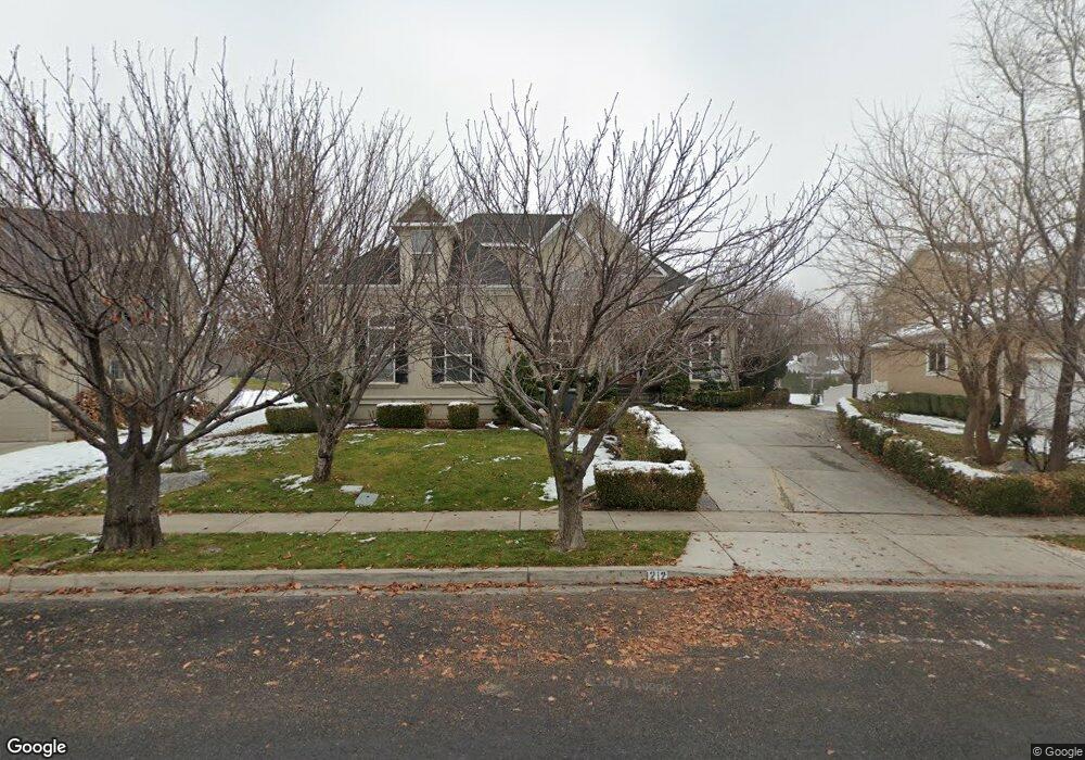
1212 N 1190 E Unit 95 American Fork, UT 84003
Estimated Value: $1,019,000 - $1,342,000
7
Beds
5
Baths
5,721
Sq Ft
$199/Sq Ft
Est. Value
About This Home
This home is located at 1212 N 1190 E Unit 95, American Fork, UT 84003 and is currently estimated at $1,137,683, approximately $198 per square foot. 1212 N 1190 E Unit 95 is a home located in Utah County with nearby schools including Deerfield Elementary School, Mountain Ridge Junior High School, and American Fork High School.
Ownership History
Date
Name
Owned For
Owner Type
Purchase Details
Closed on
Mar 8, 2016
Sold by
Richley David B and Richley Zole E
Bought by
Richey David B
Current Estimated Value
Home Financials for this Owner
Home Financials are based on the most recent Mortgage that was taken out on this home.
Original Mortgage
$404,500
Outstanding Balance
$175,477
Interest Rate
3.79%
Mortgage Type
New Conventional
Estimated Equity
$962,206
Purchase Details
Closed on
Dec 9, 2002
Sold by
Richey David Brian and Richey Zola Elizabeth
Bought by
Richey David B and Richey Zola E
Home Financials for this Owner
Home Financials are based on the most recent Mortgage that was taken out on this home.
Original Mortgage
$266,000
Interest Rate
6.06%
Mortgage Type
Balloon
Create a Home Valuation Report for This Property
The Home Valuation Report is an in-depth analysis detailing your home's value as well as a comparison with similar homes in the area
Home Values in the Area
Average Home Value in this Area
Purchase History
| Date | Buyer | Sale Price | Title Company |
|---|---|---|---|
| Richey David B | -- | None Available | |
| Richey David B | -- | Signature Title |
Source: Public Records
Mortgage History
| Date | Status | Borrower | Loan Amount |
|---|---|---|---|
| Open | Richey David B | $404,500 | |
| Previous Owner | Richey David B | $266,000 |
Source: Public Records
Tax History Compared to Growth
Tax History
| Year | Tax Paid | Tax Assessment Tax Assessment Total Assessment is a certain percentage of the fair market value that is determined by local assessors to be the total taxable value of land and additions on the property. | Land | Improvement |
|---|---|---|---|---|
| 2025 | $3,977 | $528,990 | $246,800 | $715,000 |
| 2024 | $3,977 | $441,925 | $0 | $0 |
| 2023 | $3,717 | $437,855 | $0 | $0 |
| 2022 | $3,995 | $464,420 | $0 | $0 |
| 2021 | $3,499 | $635,300 | $172,800 | $462,500 |
| 2020 | $3,410 | $600,500 | $160,000 | $440,500 |
| 2019 | $3,205 | $583,800 | $148,000 | $435,800 |
| 2018 | $3,116 | $542,600 | $140,000 | $402,600 |
| 2017 | $3,039 | $285,615 | $0 | $0 |
| 2016 | $2,730 | $238,425 | $0 | $0 |
| 2015 | $2,877 | $238,425 | $0 | $0 |
| 2014 | $2,701 | $220,825 | $0 | $0 |
Source: Public Records
Map
Nearby Homes
- 1243 N 1270 E
- 1162 E 1180 N
- 1172 Murdock Dr
- 1228 E 1030 N
- 4441 W Bridgestone Dr
- 9587 N 4500 W
- 248 N Deerfield Ln
- 1058 N 930 E Unit 64
- 1089 N 950 E
- 1059 N 930 E
- The McKenzie Plan at Autumn Crest
- The Christine Plan at Autumn Crest
- The Avery Plan at Autumn Crest
- The Madison Plan at Autumn Crest
- The Roosevelt Plan at Autumn Crest
- The Annie Plan at Autumn Crest
- The Michelle Plan at Autumn Crest
- 1053 N 930 E Unit 73
- 1045 N 930 E Unit 58
- 9681 N Peach Ct
- 1212 N 1190 E
- 1198 N 1190 E
- 1198 N 1190 E Unit 96
- 1234 N 1190 E
- 1234 N 1190 E Unit 94
- 1190 N 1190 E
- 1256 N 1190 E
- 1186 N 1190 E
- 1219 N 1190 E
- 1197 N 1190 E
- 1174 N 1190 E
- 1174 N 1190 E Unit 98
- 1258 N 1190 E
- 1268 N 1190 E Unit 92
- 1268 N 1190 E
- 1253 N 1190 E
- 1175 E 1180 N
- 1221 N 1270 E
- 1171 N 1190 E
- 1189 N 1270 E Unit 71