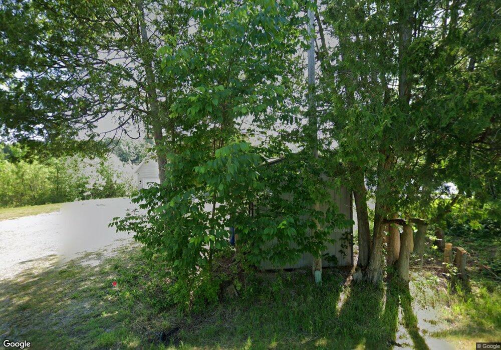
1212 Ramshorn Dr Fremont, MI 49412
Estimated Value: $366,279 - $427,000
4
Beds
2
Baths
1,812
Sq Ft
$214/Sq Ft
Est. Value
About This Home
This home is located at 1212 Ramshorn Dr, Fremont, MI 49412 and is currently estimated at $387,570, approximately $213 per square foot. 1212 Ramshorn Dr is a home located in Newaygo County with nearby schools including Daisy Brook Elementary School, Pathfinder Elementary School, and Quest High School.
Ownership History
Date
Name
Owned For
Owner Type
Purchase Details
Closed on
Jun 7, 2022
Bought by
Ekic Zuhra and Ekich Jasmin
Current Estimated Value
Purchase Details
Closed on
Jul 15, 2013
Sold by
Wright Leo T and Wright Barbara L
Bought by
Saum Bruce L and Saum Kristine L
Purchase Details
Closed on
Sep 22, 2011
Sold by
Wright Leo T and Wright Barbara L
Bought by
Saum Bruce L and Saum Kristine L
Purchase Details
Closed on
Oct 25, 1996
Sold by
Tuxbury David
Bought by
Wright Leo T
Create a Home Valuation Report for This Property
The Home Valuation Report is an in-depth analysis detailing your home's value as well as a comparison with similar homes in the area
Home Values in the Area
Average Home Value in this Area
Purchase History
| Date | Buyer | Sale Price | Title Company |
|---|---|---|---|
| Ekic Zuhra | $320,000 | -- | |
| Saum Bruce L | $214,000 | -- | |
| Saum Bruce L | -- | -- | |
| Wright Leo T | $160,000 | -- |
Source: Public Records
Tax History Compared to Growth
Tax History
| Year | Tax Paid | Tax Assessment Tax Assessment Total Assessment is a certain percentage of the fair market value that is determined by local assessors to be the total taxable value of land and additions on the property. | Land | Improvement |
|---|---|---|---|---|
| 2025 | $9,352 | $151,900 | $0 | $0 |
| 2024 | $78 | $150,800 | $0 | $0 |
| 2023 | $7,372 | $132,000 | $0 | $0 |
| 2022 | $4,163 | $116,500 | $0 | $0 |
| 2021 | $4,038 | $108,300 | $0 | $0 |
| 2020 | $3,995 | $103,300 | $0 | $0 |
| 2019 | $3,822 | $94,800 | $0 | $0 |
| 2018 | $3,732 | $84,600 | $0 | $0 |
| 2017 | $3,664 | $82,300 | $0 | $0 |
| 2016 | $3,397 | $82,200 | $0 | $0 |
| 2015 | -- | $77,400 | $0 | $0 |
| 2014 | -- | $87,400 | $0 | $0 |
Source: Public Records
Map
Nearby Homes
- 3710 Ramshorn Dr
- 415 Vista Ln
- 734 N Stewart Ave
- 4154 Sunset Dr
- Integrity 2190 Plan at Hillcrest
- Integrity 2085 Plan at Hillcrest
- Integrity 2080 Plan at Hillcrest
- Integrity 1610 Plan at Hillcrest
- integrity 1800 Plan at Hillcrest
- Integrity 1605 Plan at Hillcrest
- Integrity 1880 Plan at Hillcrest
- integrity 2280 Plan at Hillcrest
- integrity 1830 Plan at Hillcrest
- Integrity 2000 Plan at Hillcrest
- Integrity 1750 Plan at Hillcrest
- Integrity 2061 V8.1a Plan at Hillcrest
- Integrity 2060 Plan at Hillcrest
- Integrity 1910 Plan at Hillcrest
- 340 E Cherry St
- 333 E Elm St
- 1208 N Ramshorn Dr
- V/L Ramshorn Dr
- 3700 Ramshorn Dr
- 0 Ramshorn Dr
- 1203 Ramshorn Dr
- 1201 Ramshorn Dr
- 3927 Harmon Dr
- 3924 Ramshorn Dr
- 1121 N Ramshorn Dr
- 3905 Harmon Dr
- 3899 Harmon Dr
- 1025 N Ramshorn Dr
- 1109 Ramshorn Dr
- 3947 Shorewood Dr
- 3906 Harmon Dr
- 3919 Shorewood Dr
- 4681 S Tower Ln
- 4022 Shorewood Dr
- 4021 Shorewood Dr
- 3877 Shorewood Dr