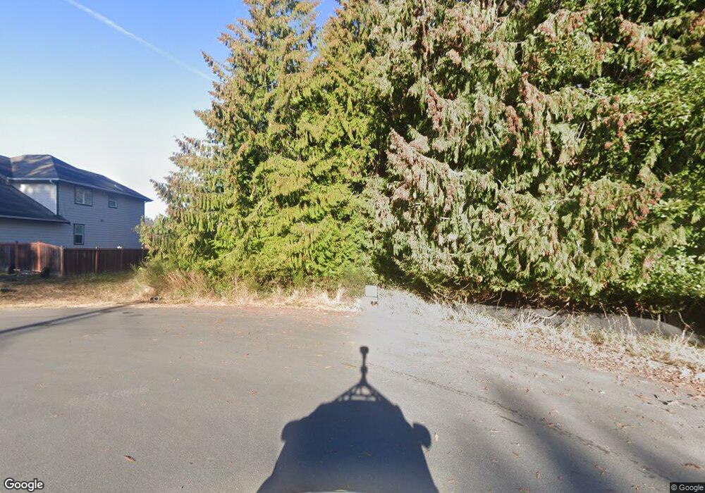
1212 Rolling Hills Dr Unit Lot 26 Port Angeles, WA 98363
Estimated Value: $85,000
--
Bed
--
Bath
--
Sq Ft
9,583
Sq Ft Lot
About This Home
This home is located at 1212 Rolling Hills Dr Unit Lot 26, Port Angeles, WA 98363 and is currently estimated at $85,000. 1212 Rolling Hills Dr Unit Lot 26 is a home located in Clallam County with nearby schools including Hamilton Elementary School, Stevens Middle School, and Port Angeles High School.
Ownership History
Date
Name
Owned For
Owner Type
Purchase Details
Closed on
Dec 23, 2024
Sold by
David Investment Co Llc
Bought by
Shrode John E
Current Estimated Value
Create a Home Valuation Report for This Property
The Home Valuation Report is an in-depth analysis detailing your home's value as well as a comparison with similar homes in the area
Home Values in the Area
Average Home Value in this Area
Purchase History
| Date | Buyer | Sale Price | Title Company |
|---|---|---|---|
| Shrode John E | $75,000 | Horizon Title Group | |
| Shrode John E | $75,000 | Horizon Title Group |
Source: Public Records
Tax History Compared to Growth
Tax History
| Year | Tax Paid | Tax Assessment Tax Assessment Total Assessment is a certain percentage of the fair market value that is determined by local assessors to be the total taxable value of land and additions on the property. | Land | Improvement |
|---|---|---|---|---|
| 2025 | $530 | $44,400 | $44,400 | -- |
| 2023 | $530 | $61,272 | $61,272 | $0 |
| 2022 | $467 | $51,060 | $51,060 | $0 |
| 2021 | $521 | $44,400 | $44,400 | $0 |
| 2020 | $425 | $44,400 | $44,400 | $0 |
| 2018 | $403 | $44,400 | $44,400 | $0 |
| 2017 | $220 | $20,010 | $20,010 | $0 |
| 2016 | $225 | $20,010 | $20,010 | $0 |
Source: Public Records
Map
Nearby Homes
- 2439 W 12th St
- 2340 Samara Place
- 1020 Walker St
- 1413 Discovery Loop
- 1006 Cathleen St
- 1327 Marie View St
- 818 Madeline St
- 999 Aurora Ct
- 2140 W 6th St
- 2131 W 7th St
- 2131 W 7th St Unit 2131 W. Seventh St.
- 2005 W 16th St
- 1920 W 10th St
- 1928 W 10th St
- 1912 W 10th St
- 1936 W 10th St
- 1901 W Hamilton Way
- 1812 W 12th St
- 1802 W 11th St
- 1218 Rolling Hills Dr
- 2507 Rolling Hills Ct
- 2503 Rolling Hills Ct
- 1209 Rolling Hills Dr
- 1221 Rolling Hills Dr
- 1301 Rolling Hills Dr
- 0 XXXXX Rolling Hills Dr
- 9999 Rolling Hills Dr
- 0 Lot 14 Rolling Hills Dr
- 0 Lot 15 Rolling Hills Dr
- 1215 Rolling Hills Dr
- 1216 S O St
- 1307 Rolling Hills Dr
- 1210 S O St
- 1210 S O St Unit Lot 8
- 1222 S O St
- 1204 S O St
- 2512 Rolling Hills Ct
- 1352 Rolling Hills Ct
