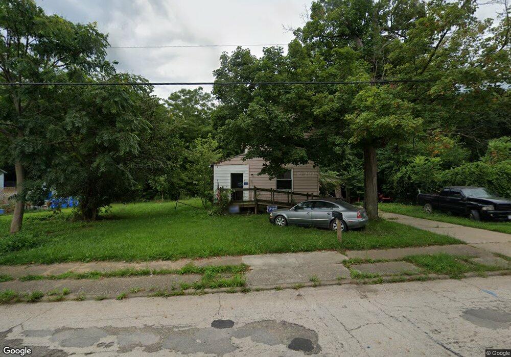
1212 S Mahoning Ave Alliance, OH 44601
Estimated Value: $47,000 - $80,000
2
Beds
1
Bath
1,448
Sq Ft
$45/Sq Ft
Est. Value
About This Home
This home is located at 1212 S Mahoning Ave, Alliance, OH 44601 and is currently estimated at $64,472, approximately $44 per square foot. 1212 S Mahoning Ave is a home located in Mahoning County with nearby schools including Alliance Elementary School at Rockhill, Alliance Intermediate School at Northside, and Alliance Middle School.
Ownership History
Date
Name
Owned For
Owner Type
Purchase Details
Closed on
Jun 19, 2017
Sold by
Cerreta Mark
Bought by
Manendel David
Current Estimated Value
Purchase Details
Closed on
Apr 4, 2016
Sold by
Mendel Jacob
Bought by
Maendel David
Purchase Details
Closed on
Jun 30, 2008
Sold by
Bugara Donnie R and Bugara Melanie
Bought by
Maendel Jacob
Purchase Details
Closed on
Jun 24, 2008
Sold by
Bugara Frank
Bought by
Maendel Jacob
Purchase Details
Closed on
Feb 20, 2006
Sold by
Dean Susan K and Collins Debra L
Bought by
Bugara Donnie R and Bugara Virgil D
Create a Home Valuation Report for This Property
The Home Valuation Report is an in-depth analysis detailing your home's value as well as a comparison with similar homes in the area
Home Values in the Area
Average Home Value in this Area
Purchase History
| Date | Buyer | Sale Price | Title Company |
|---|---|---|---|
| Manendel David | $1,000 | None Available | |
| Maendel David | -- | None Available | |
| Maendel Jacob | $23,000 | Heritage Union Title Co Ltd | |
| Maendel Jacob | -- | Heritage Union Title Co Ltd | |
| Bugara Donnie R | $8,800 | None Available |
Source: Public Records
Tax History Compared to Growth
Tax History
| Year | Tax Paid | Tax Assessment Tax Assessment Total Assessment is a certain percentage of the fair market value that is determined by local assessors to be the total taxable value of land and additions on the property. | Land | Improvement |
|---|---|---|---|---|
| 2024 | $253 | $5,830 | $670 | $5,160 |
| 2023 | $266 | $5,830 | $670 | $5,160 |
| 2022 | $237 | $4,780 | $520 | $4,260 |
| 2021 | $237 | $4,780 | $520 | $4,260 |
| 2020 | $247 | $4,780 | $520 | $4,260 |
| 2019 | $221 | $4,100 | $520 | $3,580 |
| 2018 | $264 | $4,100 | $520 | $3,580 |
| 2017 | $293 | $4,100 | $520 | $3,580 |
| 2016 | $361 | $6,580 | $520 | $6,060 |
| 2015 | $355 | $6,580 | $520 | $6,060 |
| 2014 | -- | $6,580 | $520 | $6,060 |
| 2013 | $365 | $6,580 | $520 | $6,060 |
Source: Public Records
Map
Nearby Homes
- 1233 Woodland Ave
- 831 Wade Ave
- 815 Grace St
- 814 Milner St
- 729 Waugh St
- 1044 S Liberty Ave
- 551 South St
- 1005 S Freedom Ave
- 1437 S Linden Ave
- 1846 S Freedom Ave
- 390 E College St
- 442 S Liberty Ave
- 452 E Summit St
- 167 11th St
- 548 E High St
- 2218 S Freedom Ave
- V/L S Fredeom Ave
- 317 E State St
- 1475 Chatauqua Ct
- 432 S Linden Ave
- 1206 S Mahoning Ave
- 1204 S Mahoning Ave
- 1237 S Mahoning Ave
- 1205 S Mahoning Ave
- 1184 S Mahoning Ave
- 1187 S Mahoning Ave
- 1236 Willow Ave
- 1415 South St
- 14571 Mahoning Ave NE
- 1172 S Mahoning Ave
- 1291 S Mahoning Ave
- 1226 Willow Ave
- 1420 South St
- 1403 South St
- 1185 S Mahoning Ave
- 1156 S Mahoning Ave
- 1416 South St
- 1281 S Mahoning Ave
- 1140 S Mahoning Ave
- 1293 S Mahoning Ave