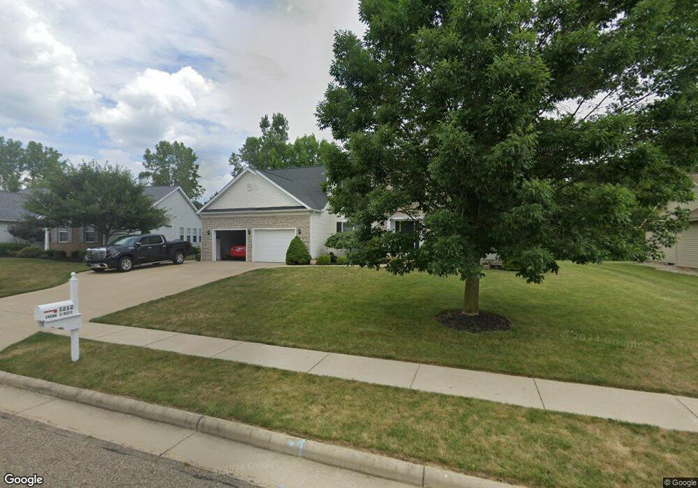
1212 Shawn Cir Louisville, OH 44641
Estimated Value: $380,645 - $407,000
4
Beds
3
Baths
3,108
Sq Ft
$126/Sq Ft
Est. Value
About This Home
This home is located at 1212 Shawn Cir, Louisville, OH 44641 and is currently estimated at $391,161, approximately $125 per square foot. 1212 Shawn Cir is a home located in Stark County with nearby schools including Louisville High School and St. Thomas Aquinas High School & Middle School.
Ownership History
Date
Name
Owned For
Owner Type
Purchase Details
Closed on
Nov 5, 2013
Sold by
Zakaski David C and Connell Deborah A O
Bought by
Zakaski David C
Current Estimated Value
Home Financials for this Owner
Home Financials are based on the most recent Mortgage that was taken out on this home.
Original Mortgage
$212,000
Interest Rate
4.14%
Mortgage Type
New Conventional
Purchase Details
Closed on
Nov 23, 2004
Sold by
Jencar Developers Inc
Bought by
Zakaski David C and Oconnell Deborah A
Home Financials for this Owner
Home Financials are based on the most recent Mortgage that was taken out on this home.
Original Mortgage
$210,900
Interest Rate
5.91%
Mortgage Type
Purchase Money Mortgage
Create a Home Valuation Report for This Property
The Home Valuation Report is an in-depth analysis detailing your home's value as well as a comparison with similar homes in the area
Home Values in the Area
Average Home Value in this Area
Purchase History
| Date | Buyer | Sale Price | Title Company |
|---|---|---|---|
| Zakaski David C | -- | None Available | |
| Zakaski David C | $45,000 | -- |
Source: Public Records
Mortgage History
| Date | Status | Borrower | Loan Amount |
|---|---|---|---|
| Closed | Zakaski David C | $212,000 | |
| Closed | Zakaski David C | $210,900 | |
| Closed | Zakaski David C | $39,500 |
Source: Public Records
Tax History Compared to Growth
Tax History
| Year | Tax Paid | Tax Assessment Tax Assessment Total Assessment is a certain percentage of the fair market value that is determined by local assessors to be the total taxable value of land and additions on the property. | Land | Improvement |
|---|---|---|---|---|
| 2025 | -- | $120,190 | $25,410 | $94,780 |
| 2024 | -- | $120,190 | $25,410 | $94,780 |
| 2023 | $3,656 | $85,090 | $17,960 | $67,130 |
| 2022 | $3,663 | $85,090 | $17,960 | $67,130 |
| 2021 | $3,667 | $84,950 | $17,960 | $66,990 |
| 2020 | $3,122 | $78,580 | $16,170 | $62,410 |
| 2019 | $3,135 | $85,160 | $20,230 | $64,930 |
| 2018 | $3,384 | $85,160 | $20,230 | $64,930 |
| 2017 | $3,174 | $77,070 | $19,110 | $57,960 |
| 2016 | $3,239 | $77,070 | $19,110 | $57,960 |
| 2015 | $3,249 | $77,070 | $19,110 | $57,960 |
| 2014 | $1,285 | $72,460 | $17,960 | $54,500 |
| 2013 | $1,693 | $72,460 | $17,960 | $54,500 |
Source: Public Records
Map
Nearby Homes
- 1603 Sturbridge Dr
- 1175 Sturbridge Dr
- 1149 Sturbridge Dr
- 0 Brookridge Ave
- 248 Menegay Rd
- 0 Glenbar St
- 3580 Brookridge Ave Lot 15
- 524 Glenbar St
- 300 Kennedy St
- 1561 Noel St
- 201 Indiana Ave
- 6083 Apple St
- 428 Honeycrisp Dr NE
- 3047 Mcintosh Dr NE
- 432 Honeycrisp Dr NE
- 2962 Mcintosh Dr NE
- 2963 Mcintosh Dr NE
- 430 Honeycrisp Dr NE
- 4385 Fruitland Ave
- 5474 Ravenna Ave