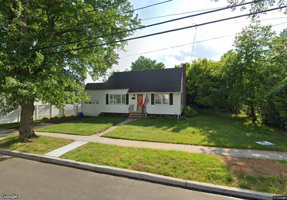
1212 Wheatsheaf Rd Roselle, NJ 07203
Estimated Value: $352,000 - $474,000
--
Bed
--
Bath
816
Sq Ft
$515/Sq Ft
Est. Value
About This Home
This home is located at 1212 Wheatsheaf Rd, Roselle, NJ 07203 and is currently estimated at $420,543, approximately $515 per square foot. 1212 Wheatsheaf Rd is a home located in Union County with nearby schools including Dr Charles C Polk School, Grace Wilday Junior High School, and Leonard V. Moore Middle School.
Ownership History
Date
Name
Owned For
Owner Type
Purchase Details
Closed on
Jan 19, 2012
Sold by
Siddall Paul and Cristina Monroy
Bought by
Monroy Cristina I
Current Estimated Value
Create a Home Valuation Report for This Property
The Home Valuation Report is an in-depth analysis detailing your home's value as well as a comparison with similar homes in the area
Home Values in the Area
Average Home Value in this Area
Purchase History
| Date | Buyer | Sale Price | Title Company |
|---|---|---|---|
| Monroy Cristina I | $240,307 | -- |
Source: Public Records
Tax History Compared to Growth
Tax History
| Year | Tax Paid | Tax Assessment Tax Assessment Total Assessment is a certain percentage of the fair market value that is determined by local assessors to be the total taxable value of land and additions on the property. | Land | Improvement |
|---|---|---|---|---|
| 2025 | $11,025 | $126,800 | $74,500 | $52,300 |
| 2024 | $10,749 | $126,800 | $74,500 | $52,300 |
| 2023 | $10,749 | $126,800 | $74,500 | $52,300 |
| 2022 | $10,824 | $126,800 | $74,500 | $52,300 |
| 2021 | $10,759 | $126,800 | $74,500 | $52,300 |
| 2020 | $10,725 | $126,800 | $74,500 | $52,300 |
| 2019 | $10,588 | $126,800 | $74,500 | $52,300 |
| 2018 | $10,529 | $126,800 | $74,500 | $52,300 |
| 2017 | $10,474 | $126,800 | $74,500 | $52,300 |
| 2016 | $10,243 | $126,800 | $74,500 | $52,300 |
| 2015 | $10,242 | $126,800 | $74,500 | $52,300 |
| 2014 | $9,956 | $126,800 | $74,500 | $52,300 |
Source: Public Records
Map
Nearby Homes
- 115 Clark St
- 932 Wheatsheaf Rd
- 932 Chestnut St
- 221 Douglas Rd
- 211 E 10th Ave
- 382 Douglas Rd
- 574 Sherman Ave
- 559 Uncas Ave
- 414 3rd Ave
- 1809 N Wood Ave Unit D1
- 1605 Wood Ave Unit F1
- 511 Brooklawn Ave Unit H1
- 901 Clark St
- 1129 Spruce St
- 250 E 9th Ave
- 902 Spruce St
- 210 W 7th Ave
- 15 Swarthmore Rd
- 801 Clark St
- 1202 Warren St
- 1208 Wheatsheaf Rd
- 204 Clark St
- 1216 Wheatsheaf Rd
- 1204 Wheatsheaf Rd
- 1223 Crescent Ave
- 1219 Crescent Ave
- 208 Clark St
- 1215 Crescent Ave
- 133 William St
- 1227 Crescent Ave
- 1211 Crescent Ave
- 130 Clark St
- 1200 Wheatsheaf Rd
- 129 William St
- 1207 Crescent Ave
- 134 William St
- 126 Clark St
- 125 William St
- 209 Clark St
- 205 Clark St