Estimated Value: $241,000 - $443,788
3
Beds
3
Baths
2,320
Sq Ft
$157/Sq Ft
Est. Value
About This Home
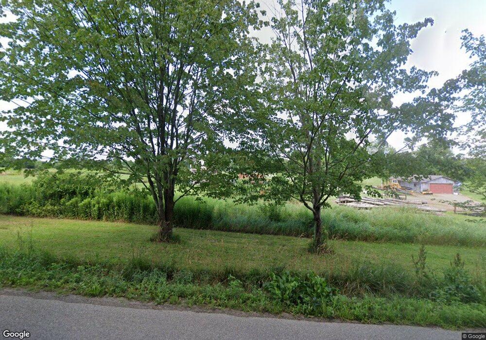
This home is located at 12120 Carter Hill Rd, Corry, PA 16407 and is currently estimated at $363,197, approximately $156 per square foot. 12120 Carter Hill Rd is a home located in Erie County with nearby schools including Corry Area Primary School, Corry Area Intermediate School, and Corry Area Middle School.
Ownership History
Date
Name
Owned For
Owner Type
Purchase Details
Closed on
Jul 28, 1998
Sold by
Hammill William D
Bought by
Orton William F and Orton Samantha A
Current Estimated Value
Home Financials for this Owner
Home Financials are based on the most recent Mortgage that was taken out on this home.
Original Mortgage
$33,600
Interest Rate
6.86%
Purchase Details
Closed on
May 18, 1992
Sold by
Husted Mar
Bought by
Hammill William D
Purchase Details
Closed on
Jun 13, 1991
Sold by
Baker Daniel R
Bought by
Husted Mark
Purchase Details
Closed on
Jul 7, 1987
Sold by
Baker George R
Bought by
Baker Daniel R
Purchase Details
Closed on
Dec 5, 1979
Sold by
Sieklucky Bill Et Camilla
Bought by
Baker George R
Create a Home Valuation Report for This Property
The Home Valuation Report is an in-depth analysis detailing your home's value as well as a comparison with similar homes in the area
Home Values in the Area
Average Home Value in this Area
Purchase History
| Date | Buyer | Sale Price | Title Company |
|---|---|---|---|
| Orton William F | $47,000 | -- | |
| Hammill William D | $32,000 | -- | |
| Husted Mark | $12,500 | -- | |
| Baker Daniel R | $46,200 | -- | |
| Baker George R | $25,000 | -- |
Source: Public Records
Mortgage History
| Date | Status | Borrower | Loan Amount |
|---|---|---|---|
| Closed | Orton William F | $33,600 |
Source: Public Records
Tax History Compared to Growth
Tax History
| Year | Tax Paid | Tax Assessment Tax Assessment Total Assessment is a certain percentage of the fair market value that is determined by local assessors to be the total taxable value of land and additions on the property. | Land | Improvement |
|---|---|---|---|---|
| 2025 | $5,674 | $240,500 | $26,900 | $213,600 |
| 2024 | $5,623 | $240,500 | $26,900 | $213,600 |
| 2023 | $5,431 | $240,500 | $26,900 | $213,600 |
| 2022 | $5,286 | $240,500 | $26,900 | $213,600 |
| 2021 | $5,232 | $240,500 | $26,900 | $213,600 |
| 2020 | $5,173 | $240,500 | $26,900 | $213,600 |
| 2019 | $5,056 | $240,500 | $26,900 | $213,600 |
| 2018 | $4,959 | $240,500 | $26,900 | $213,600 |
| 2017 | $4,836 | $240,500 | $26,900 | $213,600 |
| 2016 | $5,875 | $240,500 | $26,900 | $213,600 |
| 2015 | $5,815 | $240,500 | $26,900 | $213,600 |
| 2014 | $2,670 | $240,500 | $26,900 | $213,600 |
Source: Public Records
Map
Nearby Homes
- 0 New Buffalo Rd
- 0 Stewart Hill Rd
- 0 Cabbage Hill Rd Unit R1504313
- 9671 Jamestown St
- 14610 Old Wattsburg Rd
- 0 State Highway 8
- 978 Mead Ave
- 284 Mound St
- 10500 U S 6
- 275 W Frederick St
- 629 Mead Ave
- 820 Mead Ave
- 30 Elk St
- 318 Worth St
- 711 Wayne St
- 699 Wayne St
- 8434 Highlands Unit 8434
- 0 Country Club - Road Lots 6 7 & 8 Rd Unit 187274
- 837 Us Highway 6
- 8434 Canterbury Dr Unit 8434
