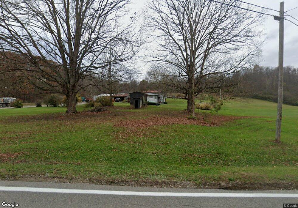
12121 State Route 139 Jackson, OH 45640
Estimated Value: $202,000 - $303,000
2
Beds
1
Bath
1,320
Sq Ft
$186/Sq Ft
Est. Value
About This Home
This home is located at 12121 State Route 139, Jackson, OH 45640 and is currently estimated at $245,170, approximately $185 per square foot. 12121 State Route 139 is a home located in Jackson County with nearby schools including Jackson High School.
Ownership History
Date
Name
Owned For
Owner Type
Purchase Details
Closed on
Sep 22, 2017
Sold by
Whyte Paul T and Whyte Peggy D
Bought by
Rose John E and Rose Natasha L
Current Estimated Value
Home Financials for this Owner
Home Financials are based on the most recent Mortgage that was taken out on this home.
Original Mortgage
$50,000
Outstanding Balance
$11,610
Interest Rate
3.89%
Mortgage Type
New Conventional
Estimated Equity
$233,560
Purchase Details
Closed on
Jun 5, 2017
Sold by
Hill Rose Sr John Edwin and Hill Rose Cindiarella
Bought by
Rose John Edwin
Create a Home Valuation Report for This Property
The Home Valuation Report is an in-depth analysis detailing your home's value as well as a comparison with similar homes in the area
Home Values in the Area
Average Home Value in this Area
Purchase History
| Date | Buyer | Sale Price | Title Company |
|---|---|---|---|
| Rose John E | $33,000 | None Available | |
| Rose John Edwin | -- | None Available |
Source: Public Records
Mortgage History
| Date | Status | Borrower | Loan Amount |
|---|---|---|---|
| Open | Rose John E | $50,000 |
Source: Public Records
Tax History Compared to Growth
Tax History
| Year | Tax Paid | Tax Assessment Tax Assessment Total Assessment is a certain percentage of the fair market value that is determined by local assessors to be the total taxable value of land and additions on the property. | Land | Improvement |
|---|---|---|---|---|
| 2024 | $1,654 | $47,000 | $16,750 | $30,250 |
| 2023 | $1,685 | $47,000 | $16,750 | $30,250 |
| 2022 | $1,765 | $36,840 | $14,390 | $22,450 |
| 2021 | $1,420 | $36,840 | $14,390 | $22,450 |
| 2020 | $1,072 | $36,840 | $14,390 | $22,450 |
| 2019 | $960 | $33,500 | $13,080 | $20,420 |
| 2018 | $923 | $33,500 | $13,080 | $20,420 |
| 2017 | $441 | $33,500 | $13,080 | $20,420 |
| 2016 | $911 | $34,040 | $14,370 | $19,670 |
| 2015 | $917 | $34,040 | $14,370 | $19,670 |
| 2013 | $871 | $32,980 | $14,260 | $18,720 |
| 2012 | $889 | $33,100 | $14,380 | $18,720 |
Source: Public Records
Map
Nearby Homes
- 627 Russ Rd
- 1953 Mayhew Rd
- 2380 Mayhew Rd
- 232 Florence Ave
- 0 5 Points Rd
- 212 Watts Colony St
- 10057 Ohio 776
- 0 Main and Ballard St
- 216 Patrick Ave
- 11750 Ohio 776
- 11750 State Route 776
- 107 Redondo Dr
- 405 Redondo Dr
- 66 Grandview Ave
- 225 S David Ave
- 75 W Huron St
- 205 S Bennett Ave
- 3805 S Jisco West Rd
- 0 Lenhart Rd
- 111 Tropic St
- 1319 Chestnut Grove Rd
- 1225 Chestnut Grove Rd
- 12271 State Route 139
- 12434 State Route 139
- 1181 Chestnut Grove Rd
- 1177 Chestnut Grove Rd
- 12040 State Route 139
- 12057 State Route 139
- 1081 Chestnut Grove Rd
- 12375 State Route 139
- 12385 State Route 139
- 1063 Chestnut Grove Rd
- 1019 Chestnut Grove Rd
- 995 Chestnut Grove Rd
- 1020 Chestnut Grove Rd
- 12448 State Route 139
- 787 Chestnut Grove Rd
- 1745 Russ Rd
- 1745 Russ Rd
- 1743 Russ Rd