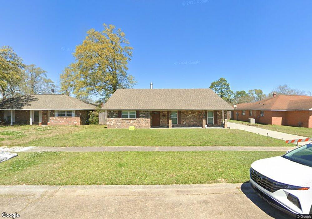
12125 Nile Ave Baton Rouge, LA 70815
Park Forest/LA North NeighborhoodEstimated Value: $146,000 - $200,000
--
Bed
--
Bath
2,030
Sq Ft
$82/Sq Ft
Est. Value
About This Home
This home is located at 12125 Nile Ave, Baton Rouge, LA 70815 and is currently estimated at $165,848, approximately $81 per square foot. 12125 Nile Ave is a home located in East Baton Rouge Parish with nearby schools including LaBelle Aire Elementary School, Park Forest Middle School, and Belaire High School.
Ownership History
Date
Name
Owned For
Owner Type
Purchase Details
Closed on
Apr 12, 2017
Sold by
Wells Fargo Bank Na
Bought by
Mcfarland Michael Dwayne
Current Estimated Value
Purchase Details
Closed on
Dec 15, 1998
Sold by
Royal International Petroleum Corp
Bought by
Mcfarland Michael J and Mcfarland Patricia
Create a Home Valuation Report for This Property
The Home Valuation Report is an in-depth analysis detailing your home's value as well as a comparison with similar homes in the area
Home Values in the Area
Average Home Value in this Area
Purchase History
| Date | Buyer | Sale Price | Title Company |
|---|---|---|---|
| Mcfarland Michael Dwayne | $61,500 | None Available | |
| Mcfarland Michael J | -- | -- |
Source: Public Records
Tax History Compared to Growth
Tax History
| Year | Tax Paid | Tax Assessment Tax Assessment Total Assessment is a certain percentage of the fair market value that is determined by local assessors to be the total taxable value of land and additions on the property. | Land | Improvement |
|---|---|---|---|---|
| 2024 | $736 | $12,270 | $2,200 | $10,070 |
| 2023 | $736 | $12,270 | $2,200 | $10,070 |
| 2022 | $1,640 | $12,270 | $2,200 | $10,070 |
| 2021 | $1,606 | $12,270 | $2,200 | $10,070 |
| 2020 | $1,449 | $12,270 | $2,200 | $10,070 |
| 2019 | $1,377 | $11,150 | $2,000 | $9,150 |
| 2018 | $1,361 | $11,150 | $2,000 | $9,150 |
| 2017 | $1,361 | $11,150 | $2,000 | $9,150 |
| 2016 | $150 | $7,948 | $2,000 | $5,948 |
| 2015 | $414 | $10,150 | $2,000 | $8,150 |
| 2014 | $413 | $10,150 | $2,000 | $8,150 |
| 2013 | -- | $10,150 | $2,000 | $8,150 |
Source: Public Records
Map
Nearby Homes
- 12013 Shannon Ave
- 12424 Cate Ave Unit 12426
- 12385&12387 Shay Ave
- 12547 Lorna Ave
- 1734 N Rosedale Dr
- 2043 Shady Oaks Dr
- 1466 Harco Dr
- 12875 King John Place
- 11555 E Black Oak Dr
- 2148 Oak Knoll Dr
- 11755 Archery Dr
- 2121 Oak Knoll Dr
- 371 Kay Dr
- 379 Wilton Dr
- 13070 Wallis St
- 11625 Archery Dr
- 11368 Pamela Dr
- 12511 E Robinhood Dr
- 2150 N Sherwood Forest Dr
- 12435 Parnell Dr
- 12115 Nile Ave
- 12135 Nile Ave
- 12124 Shannon Ave
- 12105 Nile Ave
- 12145 Nile Ave
- 12145 Nile Ave Unit 1
- 12134 Shannon Ave
- 12114 Shannon Ave
- 12134 Nile Ave
- 12124 Nile Ave
- 12104 Shannon Ave
- 12144 Shannon Ave
- 12033 Nile Ave
- 12104 Nile Ave
- 12144 Nile Ave
- 0 Shannon Ave
- 12032 Shannon Ave
- 12032 Nile Ave
- 12023 Nile Ave
- 1314 S Mike Dr