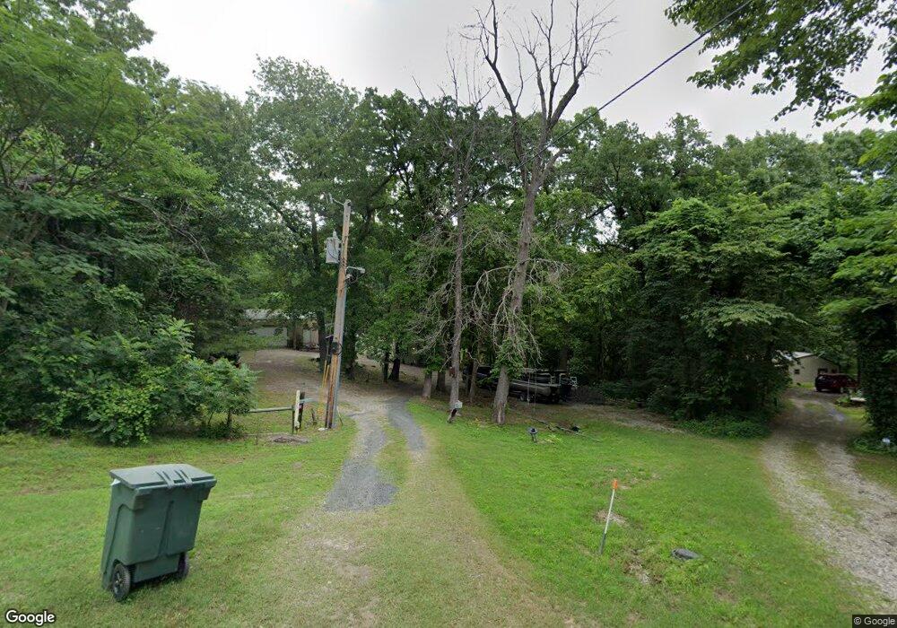
121261 S 4159 Rd Eufaula, OK 74432
Estimated Value: $159,000 - $233,000
5
Beds
3
Baths
1,318
Sq Ft
$137/Sq Ft
Est. Value
About This Home
This home is located at 121261 S 4159 Rd, Eufaula, OK 74432 and is currently estimated at $181,165, approximately $137 per square foot. 121261 S 4159 Rd is a home with nearby schools including Eufaula Elementary School, Eufaula Middle School, and Eufaula High School.
Ownership History
Date
Name
Owned For
Owner Type
Purchase Details
Closed on
Oct 16, 2020
Sold by
Bonner Barbara and Bonner James D
Bought by
Smith Curtis T and Smith Lori A
Current Estimated Value
Home Financials for this Owner
Home Financials are based on the most recent Mortgage that was taken out on this home.
Original Mortgage
$81,000
Outstanding Balance
$71,749
Interest Rate
2.8%
Mortgage Type
New Conventional
Estimated Equity
$109,416
Create a Home Valuation Report for This Property
The Home Valuation Report is an in-depth analysis detailing your home's value as well as a comparison with similar homes in the area
Home Values in the Area
Average Home Value in this Area
Purchase History
| Date | Buyer | Sale Price | Title Company |
|---|---|---|---|
| Smith Curtis T | $90,000 | Apex Ttl & Closing Svcs Llc |
Source: Public Records
Mortgage History
| Date | Status | Borrower | Loan Amount |
|---|---|---|---|
| Open | Smith Curtis T | $81,000 |
Source: Public Records
Tax History
| Year | Tax Paid | Tax Assessment Tax Assessment Total Assessment is a certain percentage of the fair market value that is determined by local assessors to be the total taxable value of land and additions on the property. | Land | Improvement |
|---|---|---|---|---|
| 2025 | $1,103 | $13,607 | $1,352 | $12,255 |
| 2024 | $1,067 | $13,606 | $1,452 | $12,154 |
| 2023 | $1,067 | $12,826 | $1,117 | $11,709 |
| 2022 | $1,043 | $12,572 | $1,117 | $11,455 |
| 2021 | $1,043 | $12,432 | $1,117 | $11,315 |
| 2020 | $313 | $6,510 | $1,001 | $5,509 |
| 2019 | $301 | $3,729 | $573 | $3,156 |
| 2018 | $282 | $3,552 | $546 | $3,006 |
| 2017 | $268 | $3,222 | $461 | $2,761 |
| 2016 | $257 | $3,068 | $383 | $2,685 |
| 2015 | $241 | $2,922 | $401 | $2,521 |
| 2014 | $228 | $2,783 | $382 | $2,401 |
Source: Public Records
Map
Nearby Homes
- 113691 S Douglas St
- 0007 Buck St
- 1500 Highway 9 Unit 10, 15&16
- 06 Highway 9
- 2 Highway 9
- 037 Highway 9
- 00000 Highway 9
- 29 Boardwalk Unit C
- 206 Lackey Dr
- 0 Airport Rd
- TBD Airport Rd
- 41 Park St
- 416130 E 1197 Rd
- 850 Pecan Ln
- 1104 Hilldale Dr
- 3 Coon Creek Rd
- 5 Eunice Burns Rd
- 800 W Grand Ave
- 0 Mcintosh Dr
- 607 Sunset Strip Ave
Your Personal Tour Guide
Ask me questions while you tour the home.