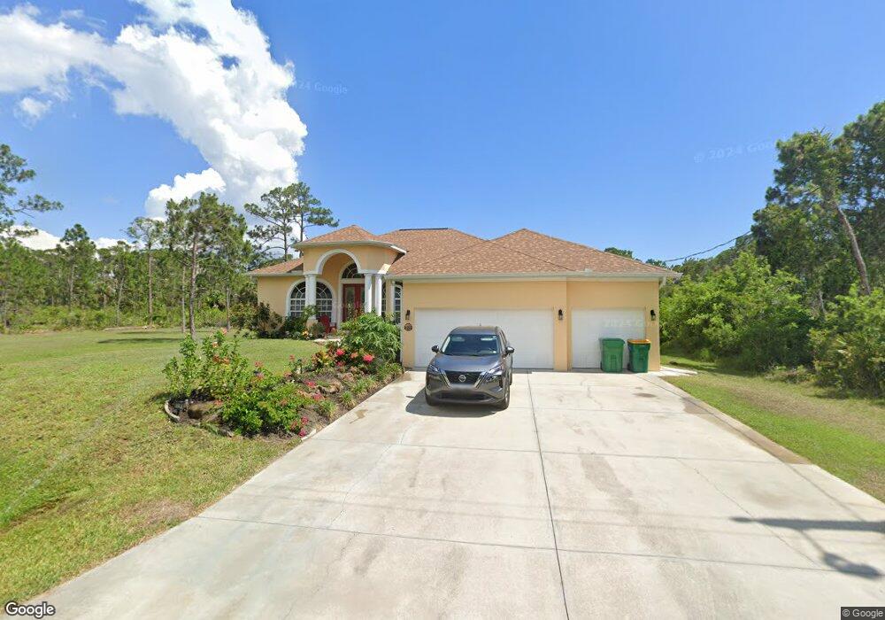
12127 Cassino Ave Port Charlotte, FL 33953
Northwest Port Charlotte NeighborhoodEstimated Value: $429,954 - $566,000
4
Beds
3
Baths
1,984
Sq Ft
$253/Sq Ft
Est. Value
About This Home
This home is located at 12127 Cassino Ave, Port Charlotte, FL 33953 and is currently estimated at $501,739, approximately $252 per square foot. 12127 Cassino Ave is a home located in Charlotte County with nearby schools including Liberty Elementary School, Murdock Middle School, and Port Charlotte High School.
Ownership History
Date
Name
Owned For
Owner Type
Purchase Details
Closed on
Apr 13, 2022
Sold by
Torres Alberto and Tores Marsinie
Bought by
Torres Alberto and Torres Marsinie
Current Estimated Value
Purchase Details
Closed on
Mar 26, 2004
Sold by
New Vista Properties Inc
Bought by
Torres Alberto and Torres Marsinie
Home Financials for this Owner
Home Financials are based on the most recent Mortgage that was taken out on this home.
Original Mortgage
$12,792
Interest Rate
10.9%
Mortgage Type
Seller Take Back
Create a Home Valuation Report for This Property
The Home Valuation Report is an in-depth analysis detailing your home's value as well as a comparison with similar homes in the area
Home Values in the Area
Average Home Value in this Area
Purchase History
| Date | Buyer | Sale Price | Title Company |
|---|---|---|---|
| Torres Alberto | -- | None Listed On Document | |
| Torres Alberto | $16,000 | -- |
Source: Public Records
Mortgage History
| Date | Status | Borrower | Loan Amount |
|---|---|---|---|
| Previous Owner | Torres Alberto | $260,000 | |
| Previous Owner | Torres Alberto | $12,792 |
Source: Public Records
Tax History Compared to Growth
Tax History
| Year | Tax Paid | Tax Assessment Tax Assessment Total Assessment is a certain percentage of the fair market value that is determined by local assessors to be the total taxable value of land and additions on the property. | Land | Improvement |
|---|---|---|---|---|
| 2024 | $7,676 | $416,847 | $22,950 | $393,897 |
| 2023 | $7,676 | $414,880 | $23,375 | $391,505 |
| 2022 | $6,103 | $370,351 | $20,400 | $349,951 |
| 2021 | $4,778 | $245,099 | $3,570 | $241,529 |
| 2020 | $4,485 | $234,533 | $3,570 | $230,963 |
| 2019 | $4,264 | $233,270 | $3,570 | $229,700 |
| 2018 | $3,830 | $229,651 | $3,315 | $226,336 |
| 2017 | $3,736 | $231,924 | $3,196 | $228,728 |
| 2016 | $3,497 | $151,756 | $0 | $0 |
| 2015 | $3,221 | $137,960 | $0 | $0 |
| 2014 | $2,893 | $125,418 | $0 | $0 |
Source: Public Records
Map
Nearby Homes
- 12259 Cassino Ave
- 12095 Cassino Ave
- 12152 Judson Ave
- 12160 Judson Ave
- 12189 Judson Ave
- 12040 Judson Ave
- 12133 Judson Ave
- 12048 Judson Ave
- 12241 Judson Ave
- 12107 Judson Ave
- 12090 Kraft Ave
- 12196 Kraft Ave
- 12042 Kraft Ave
- 12147 Kraft Ave
- 482 Hanscom St
- 427 Hanscom St
- 451 Fellenz St
- 12073 Judson Ave
- 12065 Judson Ave
- 463 Reese St
- 12111 Cassino Ave
- 12039 Cassino Ave
- 12024 Cassino Ave
- 12103 Cassino Ave
- 12175 Cassino Ave
- 12120 Dunlap Ave
- 12128 Cassino Ave
- 12120, 12112 Judson Ave
- 12114 Cassino Ave
- 12144 Judson Ave
- 12142 Cassino Ave
- 12151 Cassino Ave
- 521 Reese St
- 12157 Judson Ave
- 12096 Judson Ave Unit 9
- 12104 Judson Ave
- 12173 Judson Ave
- 12112 Judson Ave
- 12081 Judson Ave